1942-1943 Topographical Maps of the Long Island Motor Parkway
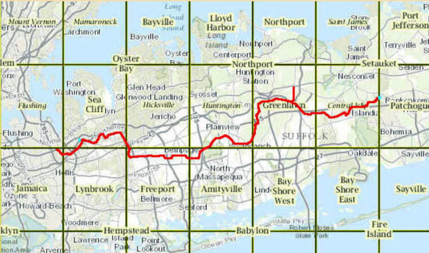
Sam Berliner III has updated the Motor Parkway maps on his wonderful website. Here is a set of relevant 1942-1943 U.S. Army/U.S. Coast & Geodetic Survey Topographical Quadrant Maps.
Enjoy,
Howard Kroplick
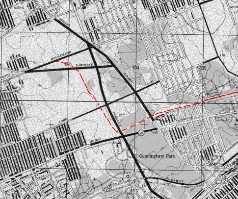
Western Terminus at Horace Harding Boulevard (Long Island Expressway) to Union Turnpike and Springfield Boulevard (1942)
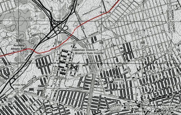
Union Turnpike and Springfield Boulevard to Glen Oaks around 74th Avenue and 270th Street (1942)
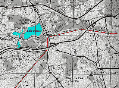
Glen Oaks (around 74th Avenue and 270th Street) to Old Courthouse Road (1943)
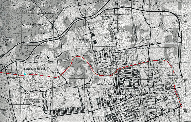
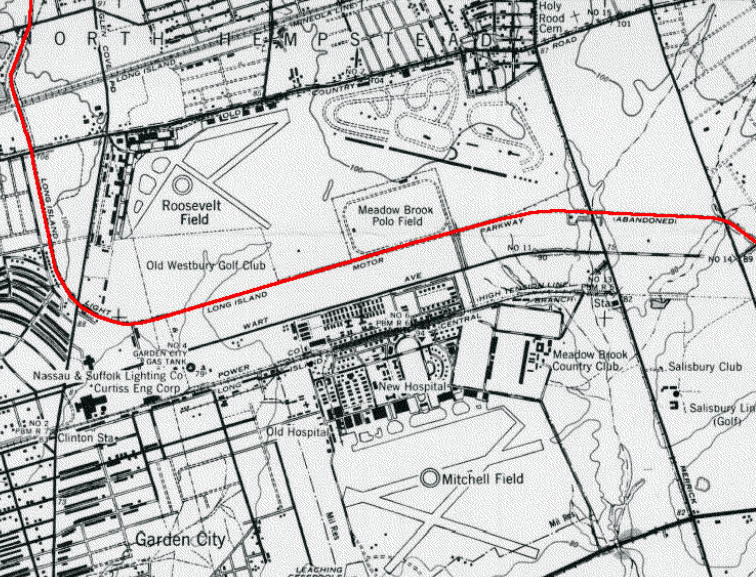
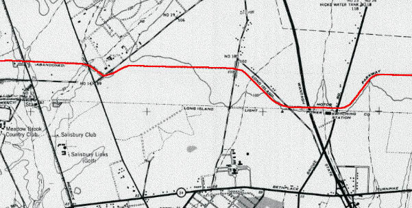
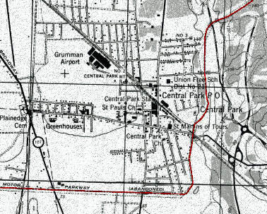
Old Courthouse Road to Jericho Turnpike in Mineola (1943)
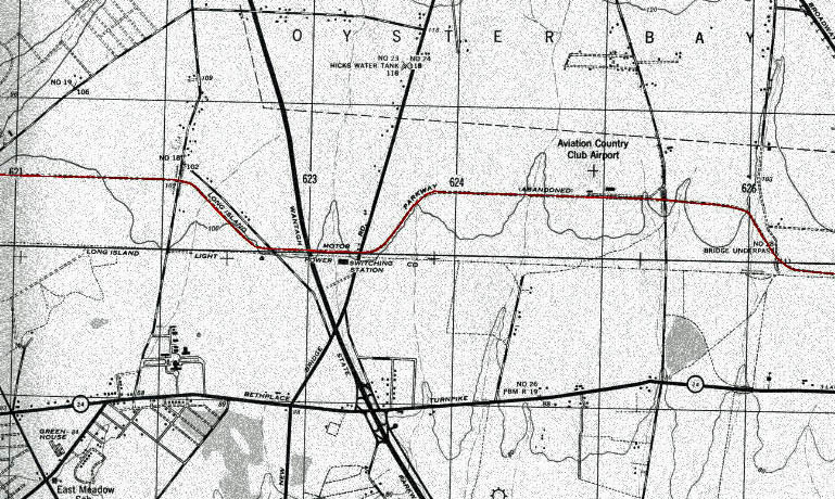
Westbury Avenue to Newbridge Avenue in East Meadow (1943)
Merrick Avenue to Newbridge Road (1947)
Carman Avenue in East Meadow to Bloomingdale Road (1947)
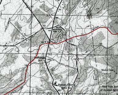
Bethpage to Plainview Road (1943)
Botto Farmway Bridge to Nassau/Suffolk County Line (1943)
Old Bethpage Village Restoration to Colonial Springs Road (1943)
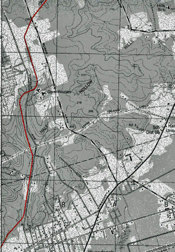
Colonial Springs Road to Burrs Lane in Half Hollows (1943)
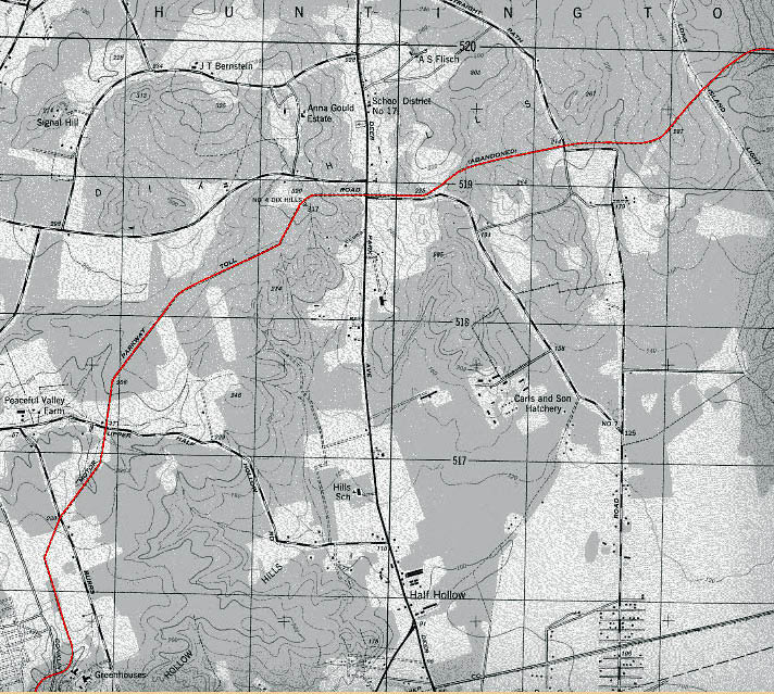
Burrs Lane to East McLane Drive in Dix Hills (1943)
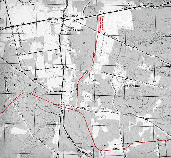
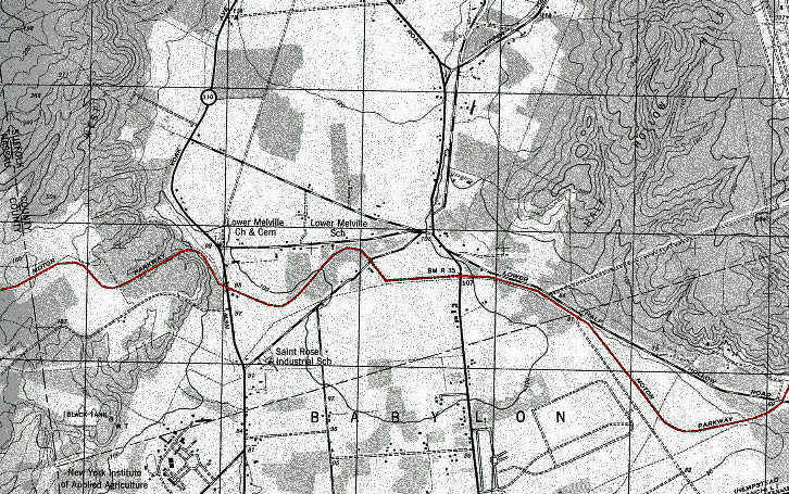
East McLane Drive in Dix Hills to Commack Spur (Harned Road) to Washington Avenue in Hauppauge (1943)
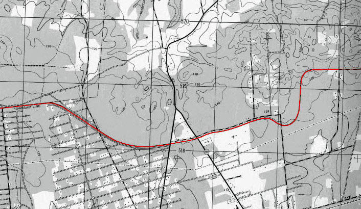
Washington Avenue in Hauppauge to South Bedford Avenue in Islandia (1943)
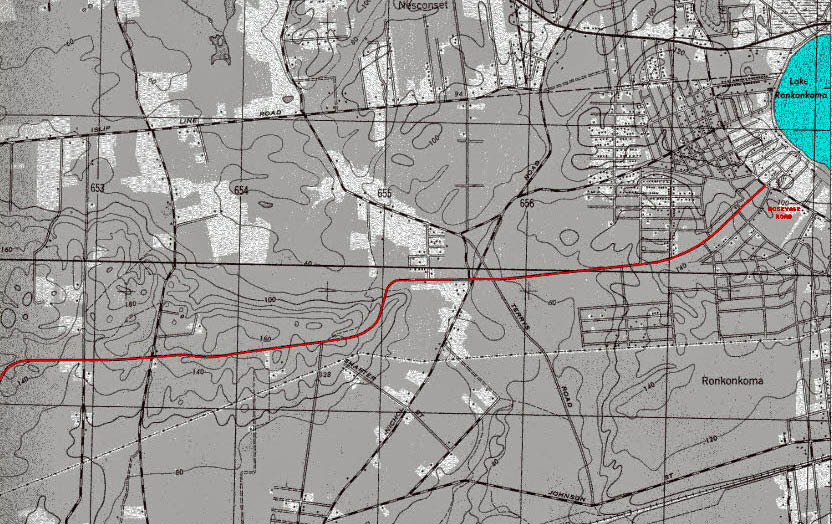
Islandia to Lake Ronkonkoma (Eastern Terminus of the Motor Parkway at Rosevale Avenue- facing Petit Trianon


Comments