Exploring and Uncovering the Motor Parkway in the Hempstead Plains (Levittown & Bethpage) Updated

Following up with Motor Parkway Footprint Mystery Foto #22, Dave Russo and Art Kleiner have continued to explore and uncover the Motor Parkway in the former Hempstead Plains.
Enjoy,
Howard Kroplick
Polaris Filed
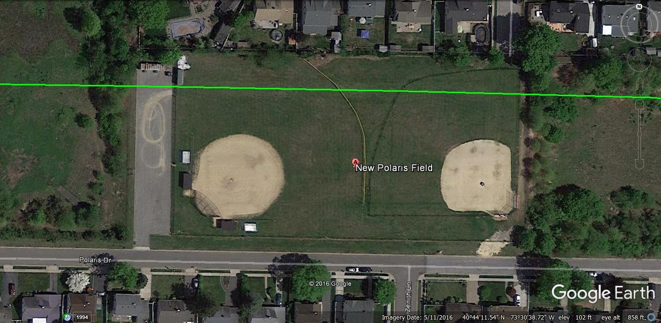
The footprint of the Motor Parkway can clearly be seen in both baseball fields on Polaris Drive.
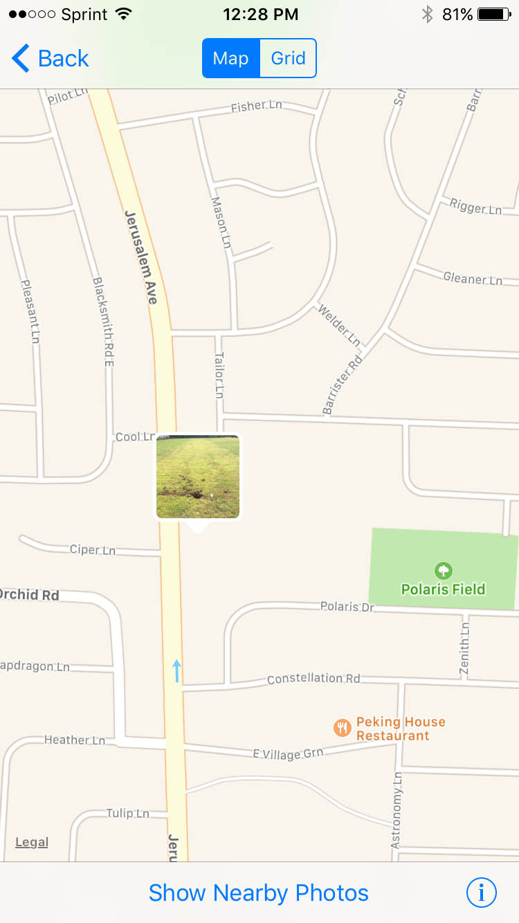
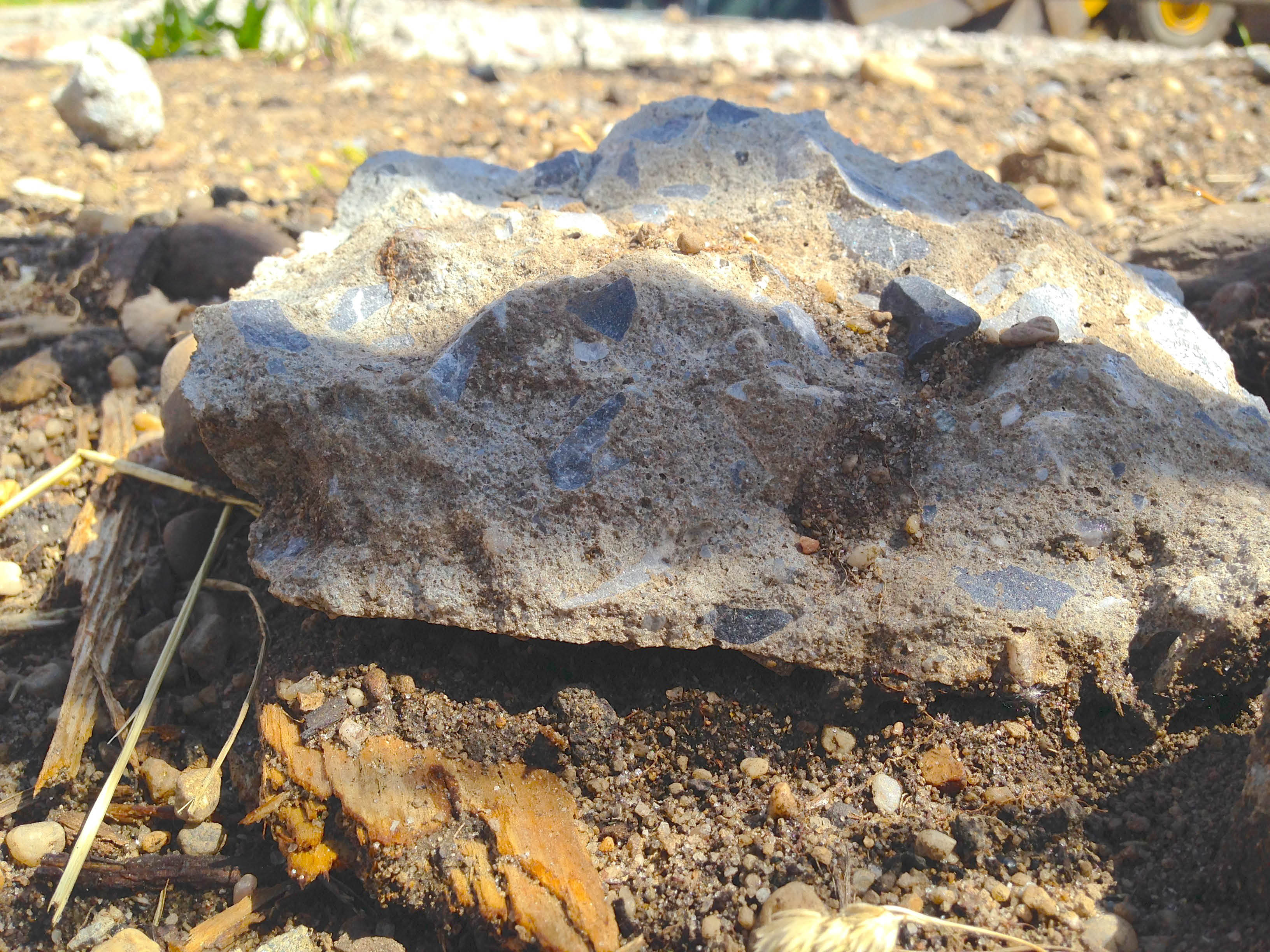
Dave Russo: I had a chance to stop by the Polaris Field earlier this week.
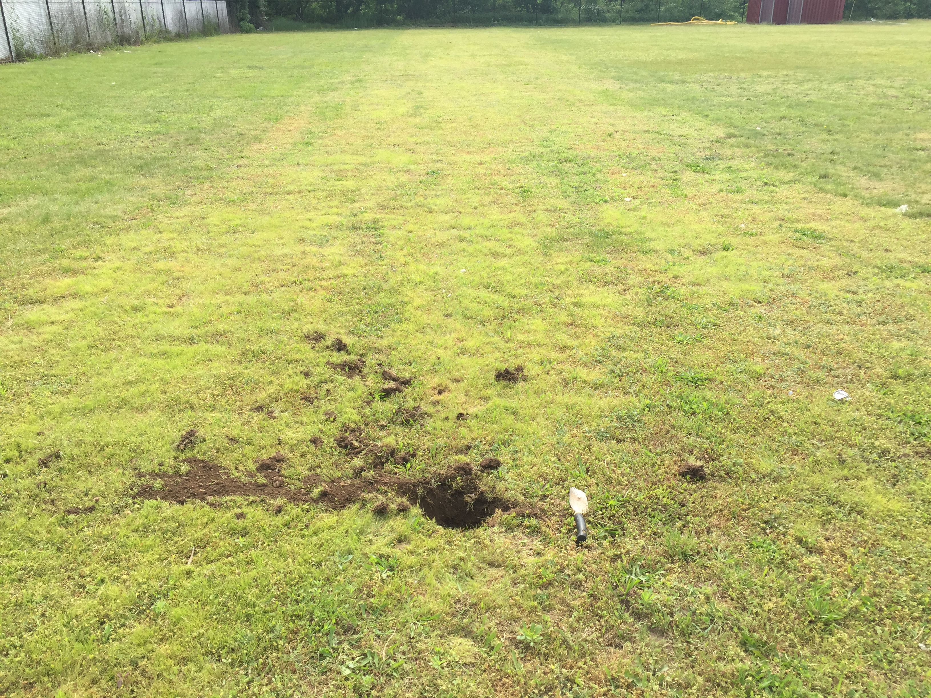
Dave Russo: I dug a little hole, 8 to 10 inches down.
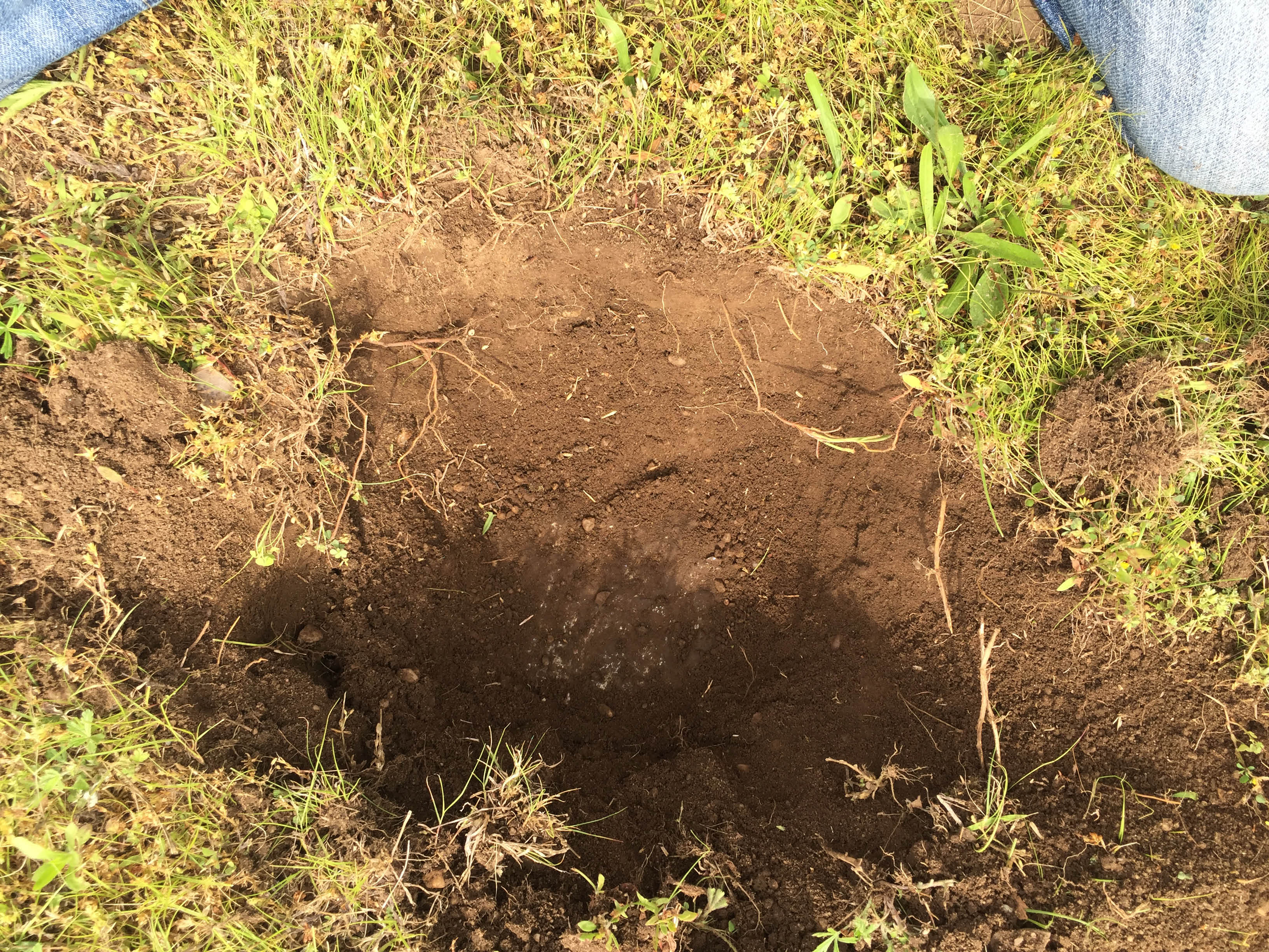
Dave Russo: The pavement is all there.
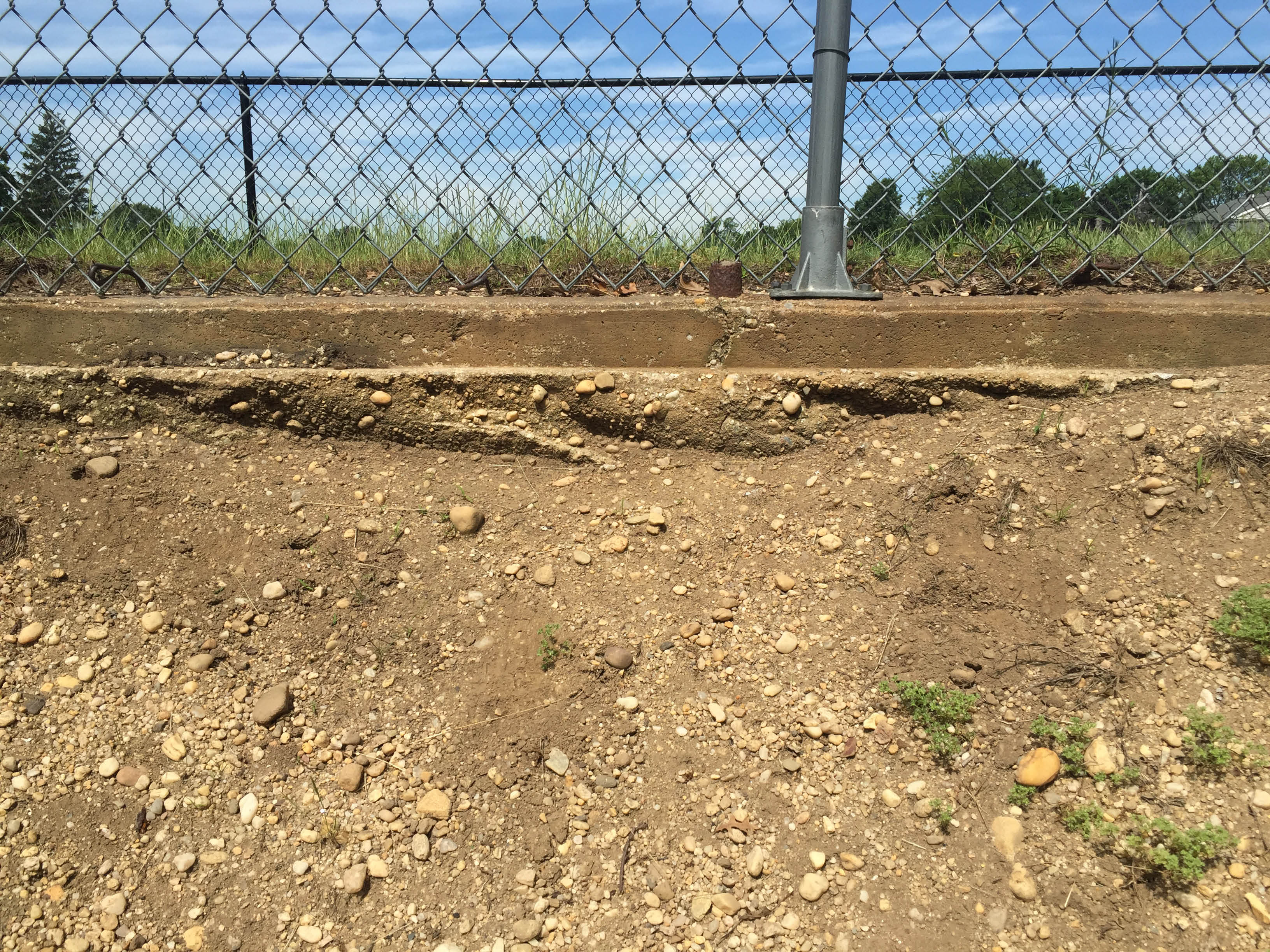
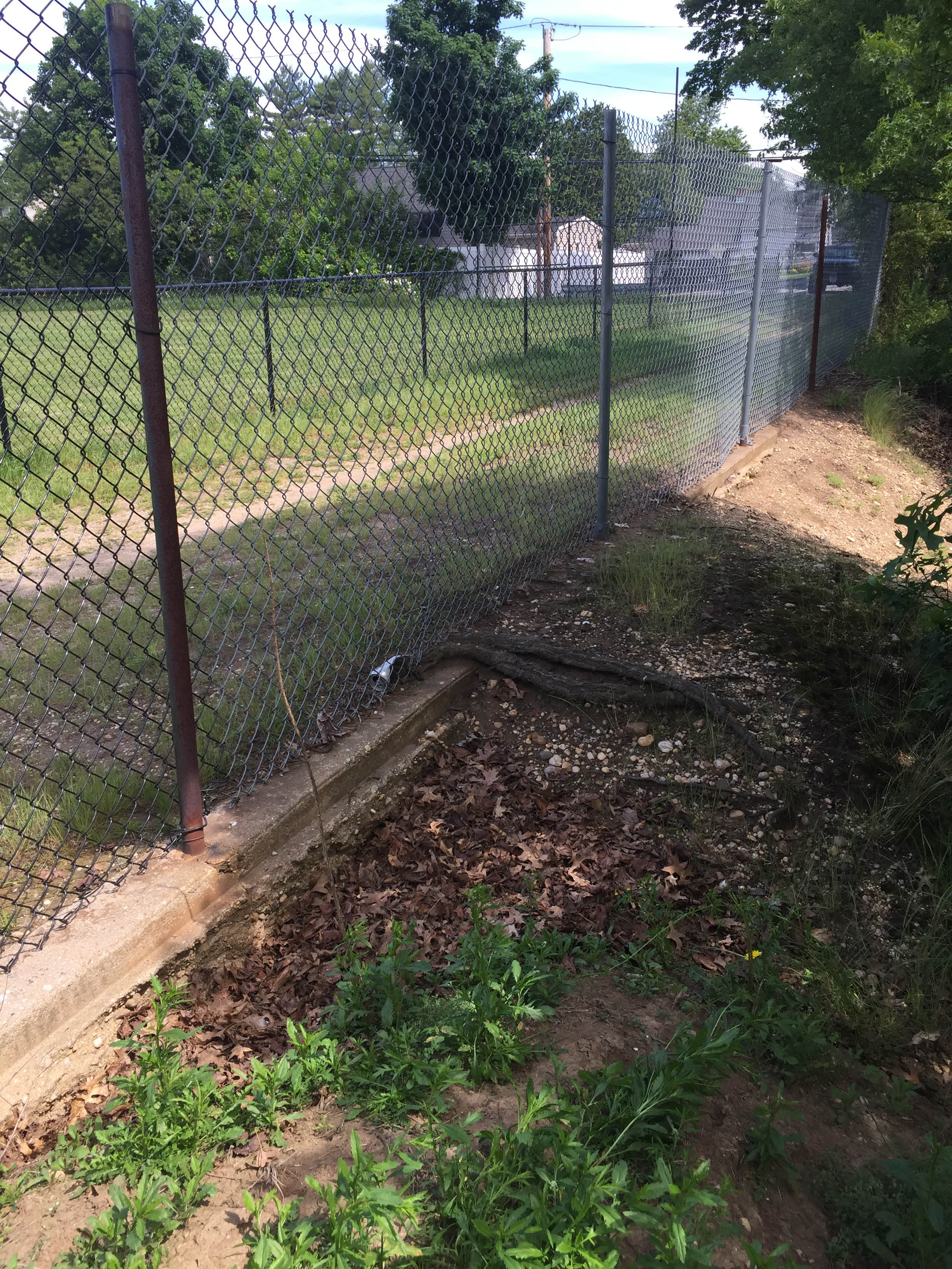
Walking east you pass one sump then you get to field #2. I went east of this field into the sump there that butts against the field and found nice road remnants under the fence line.
D
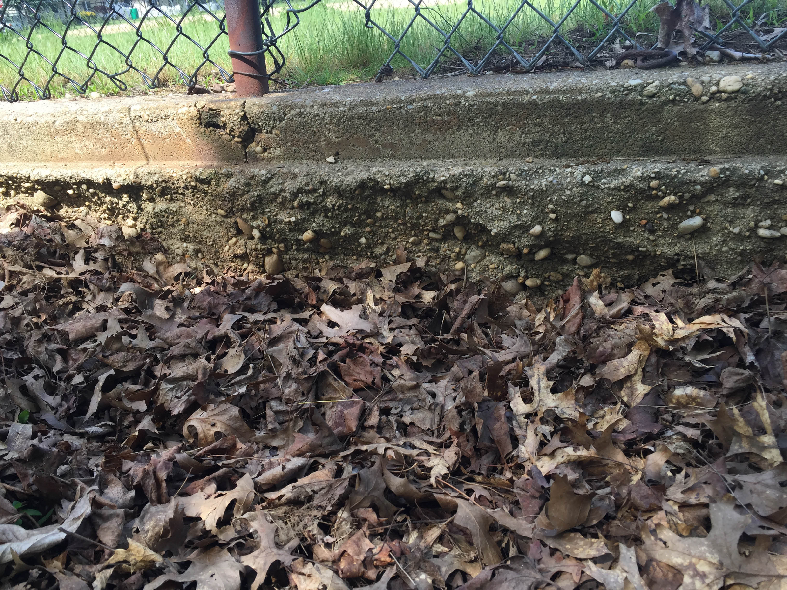
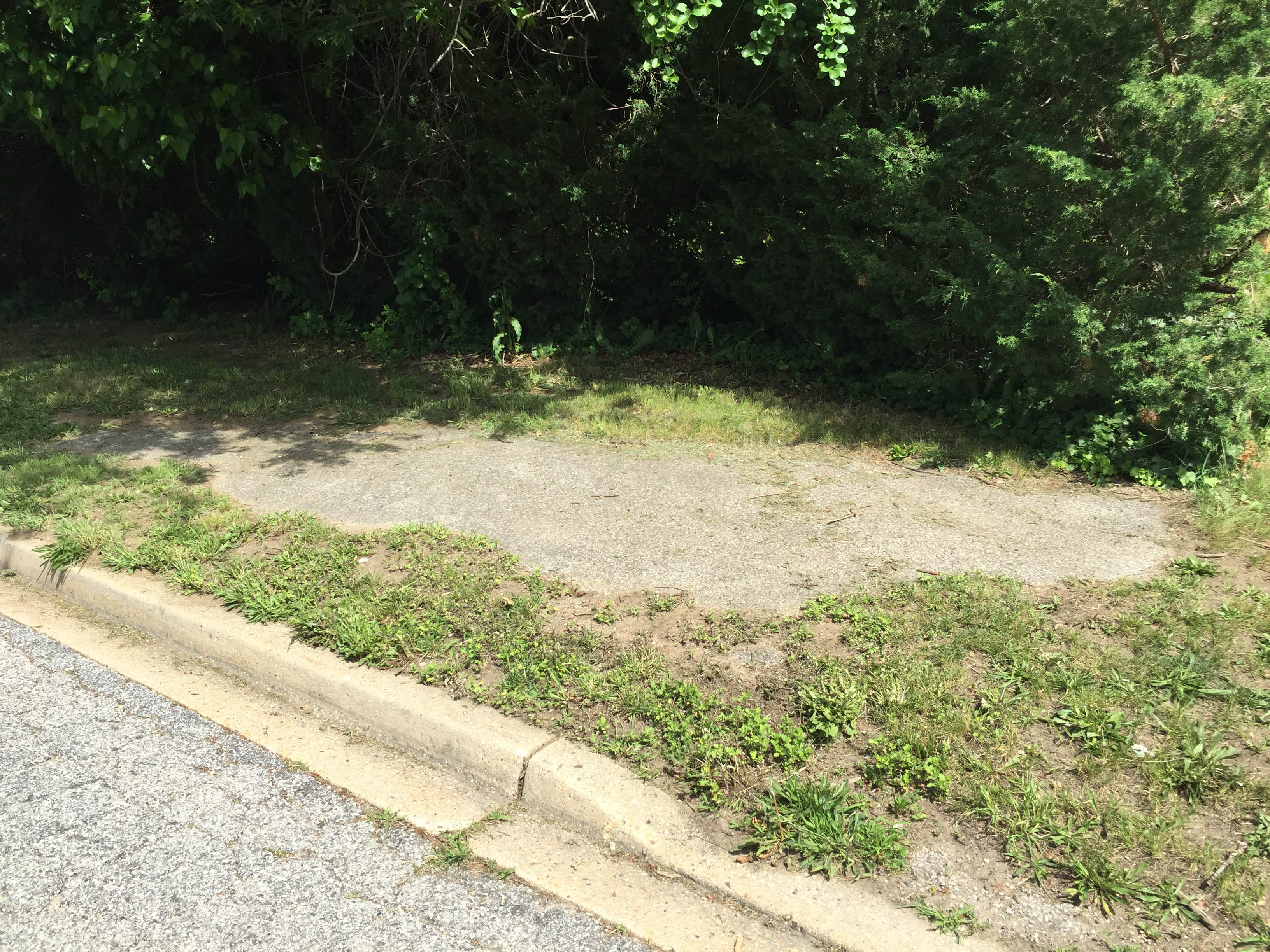
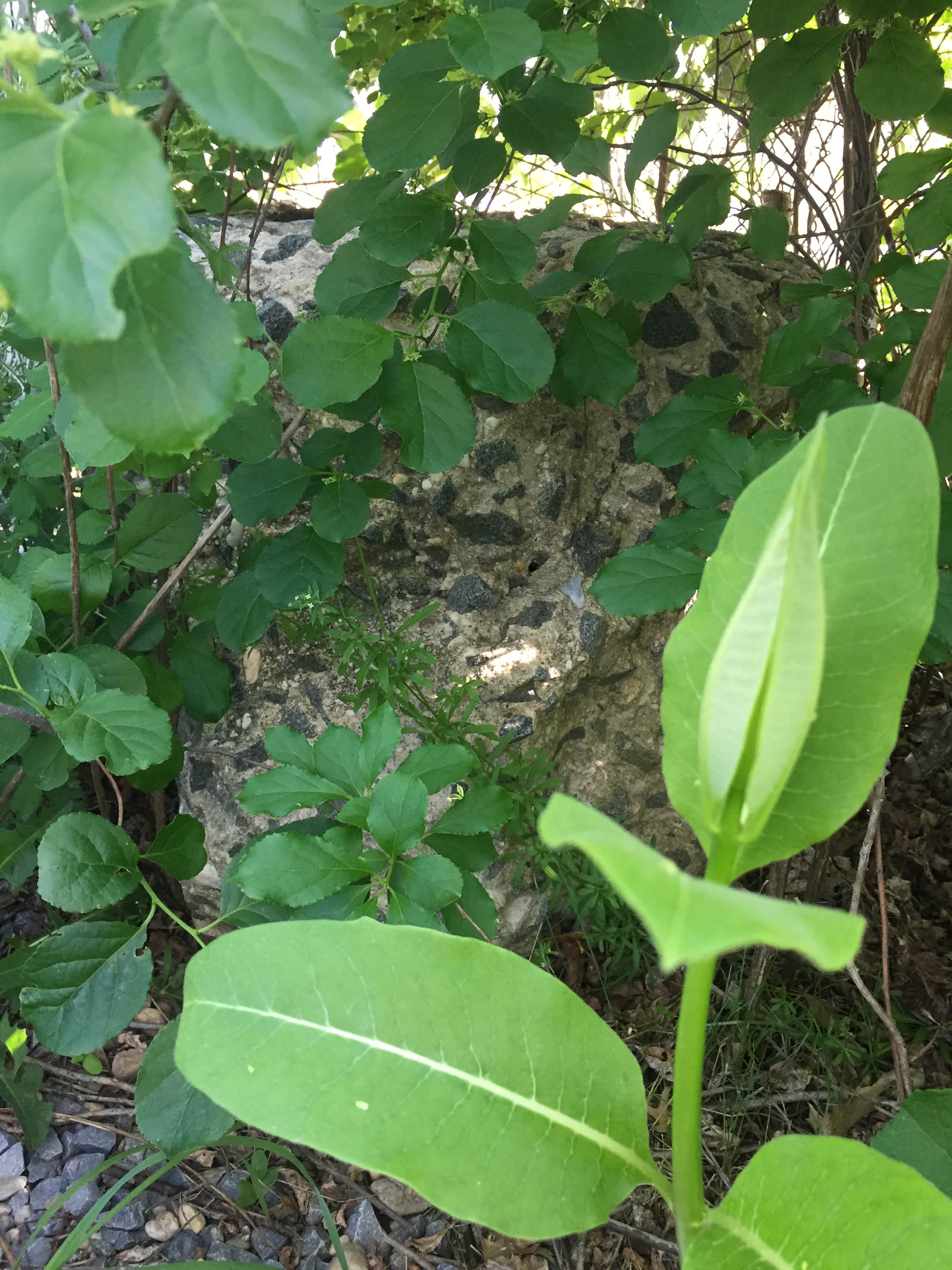
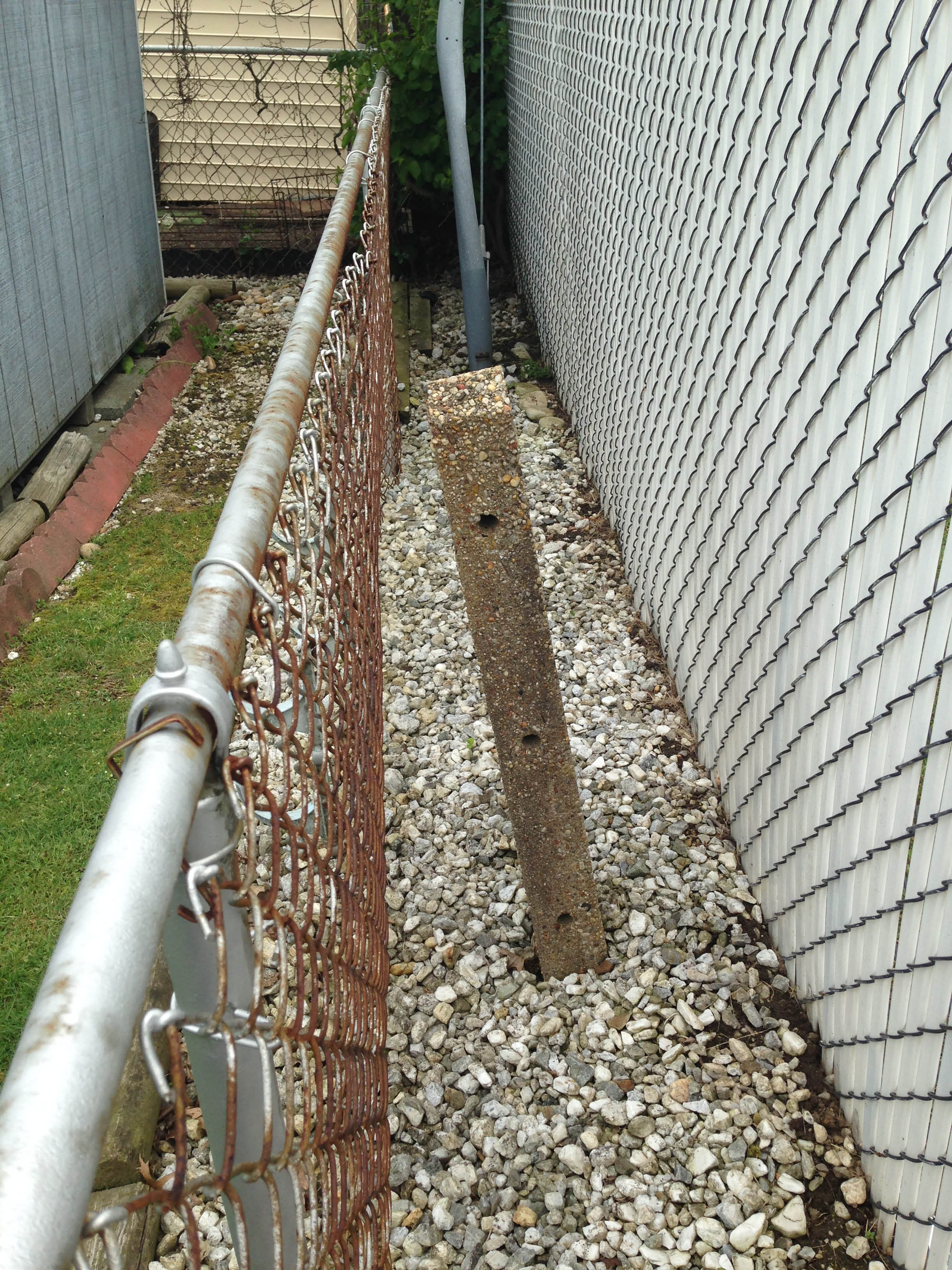
Dave Russo: Finally, close to where Polaris meets Solar Lane and right in line with the ROW, you see this small patch of concrete. Not sure if it's Motor Parkway but it's location is perfect. It is next to a sump entrance. Nassau county made several sumps along the ROW.
East of Wantagh Avenue
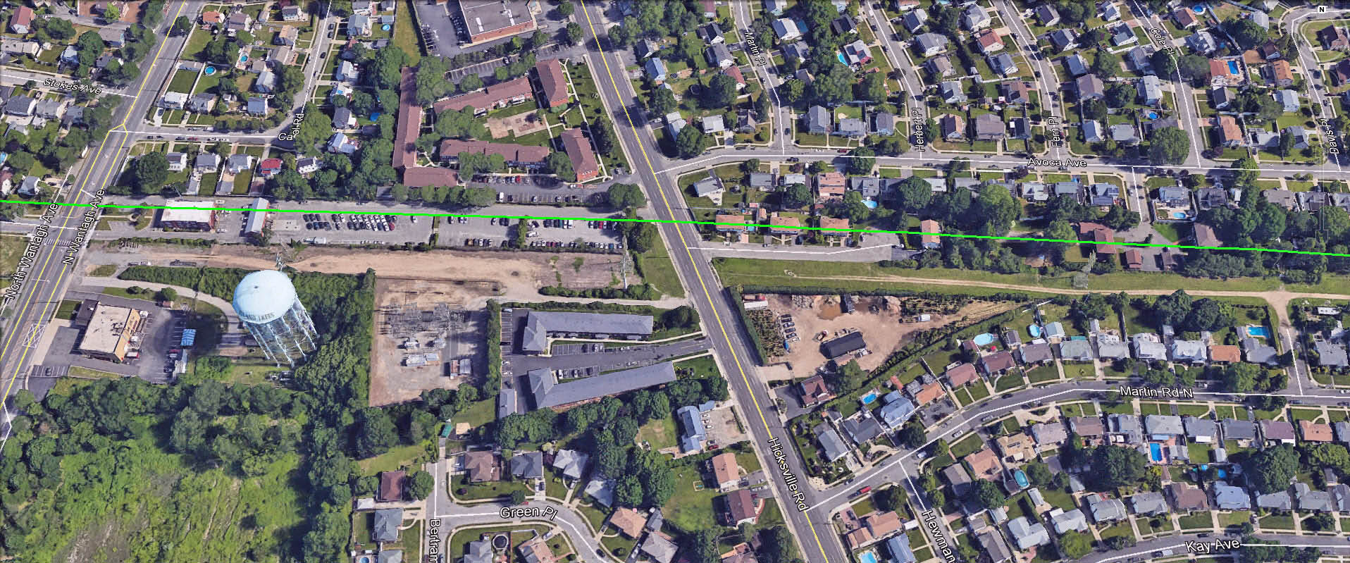
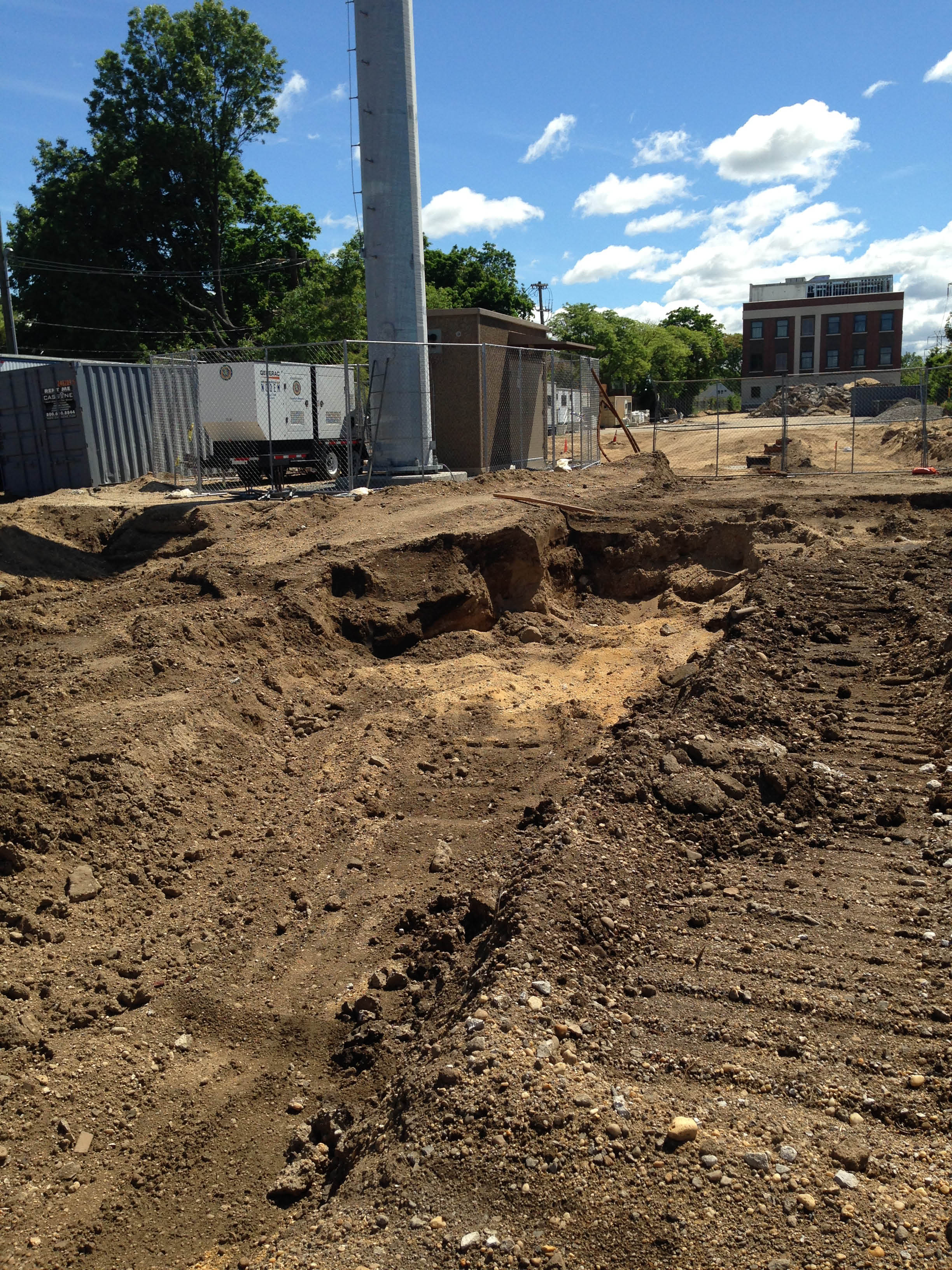
Dave Russo: Continuing east we come past Wantagh Ave. They are doing construction here (building a new police precint) and have dug up the entire Motor Parkway location from Wantagh Ave through Hicksville Road - 107. Parts of the pavement are visible.
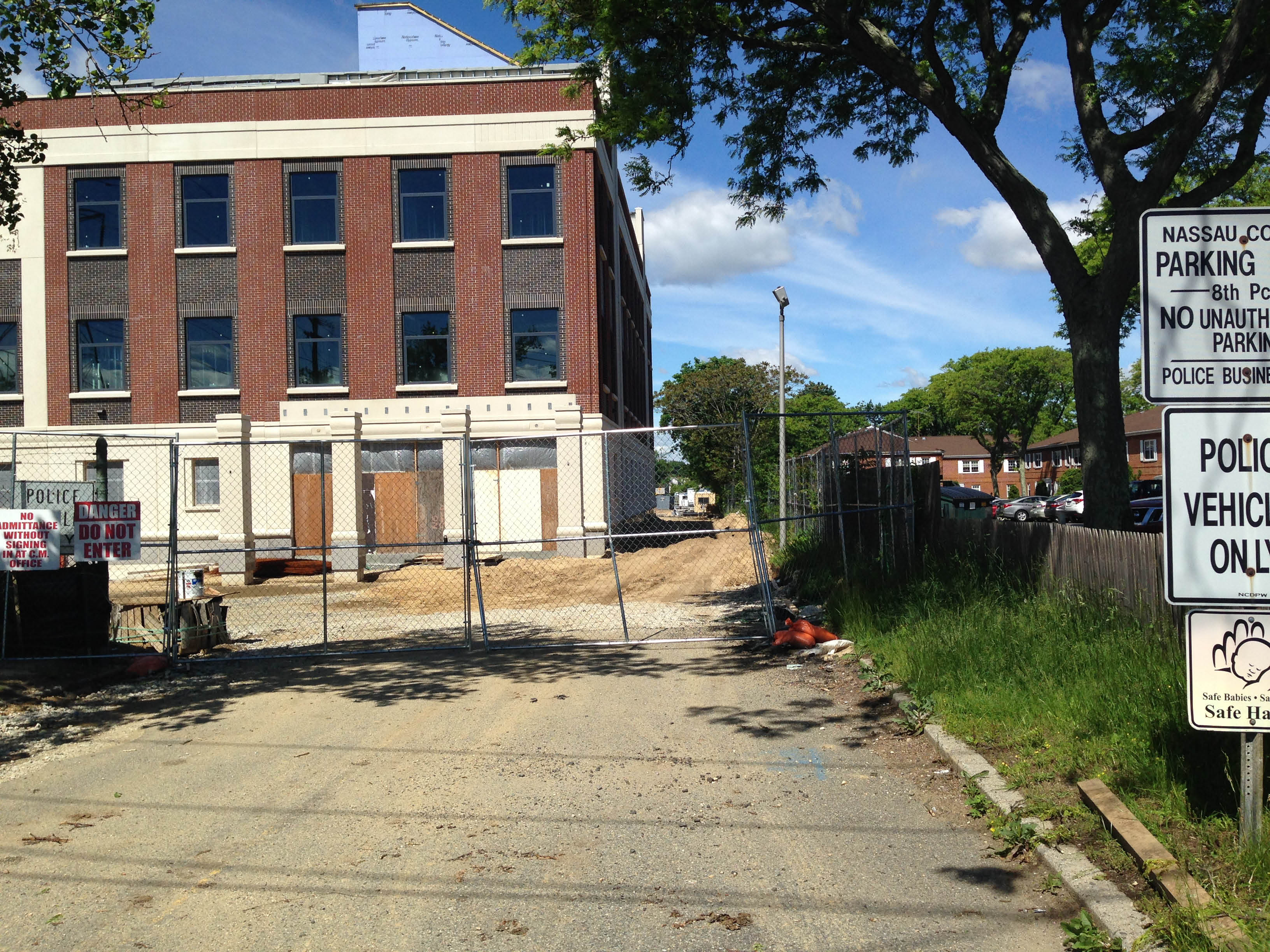
Art Kleiner: I stopped by the new construction and snapped some photos. View looking west on the Motor Parkway right-of-way.
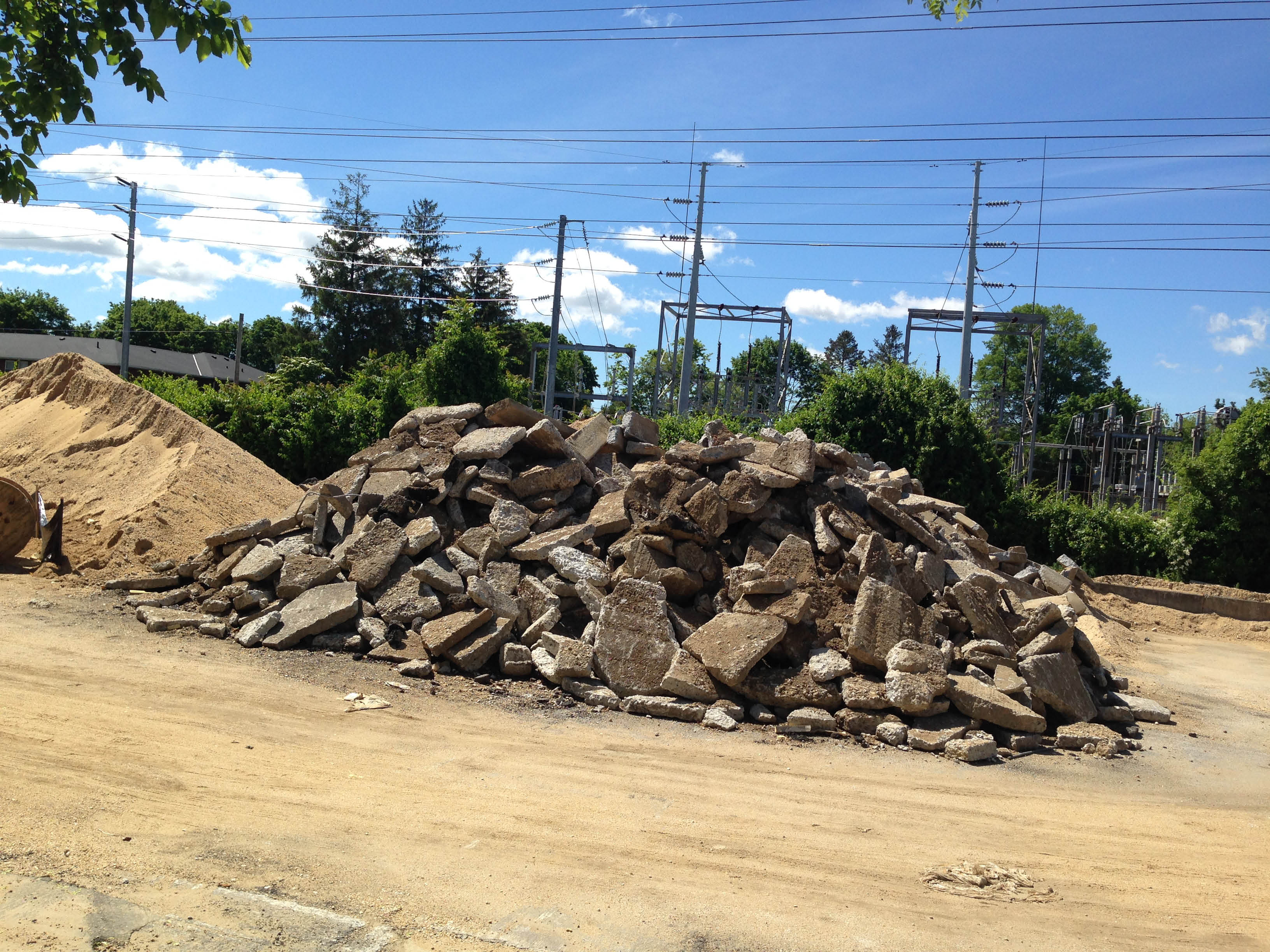
Art Kleiner: A lot of broken concrete pavement in the area but probably not the Motor Parkway.
Art Kleiner: I did find one piece that might qualify.
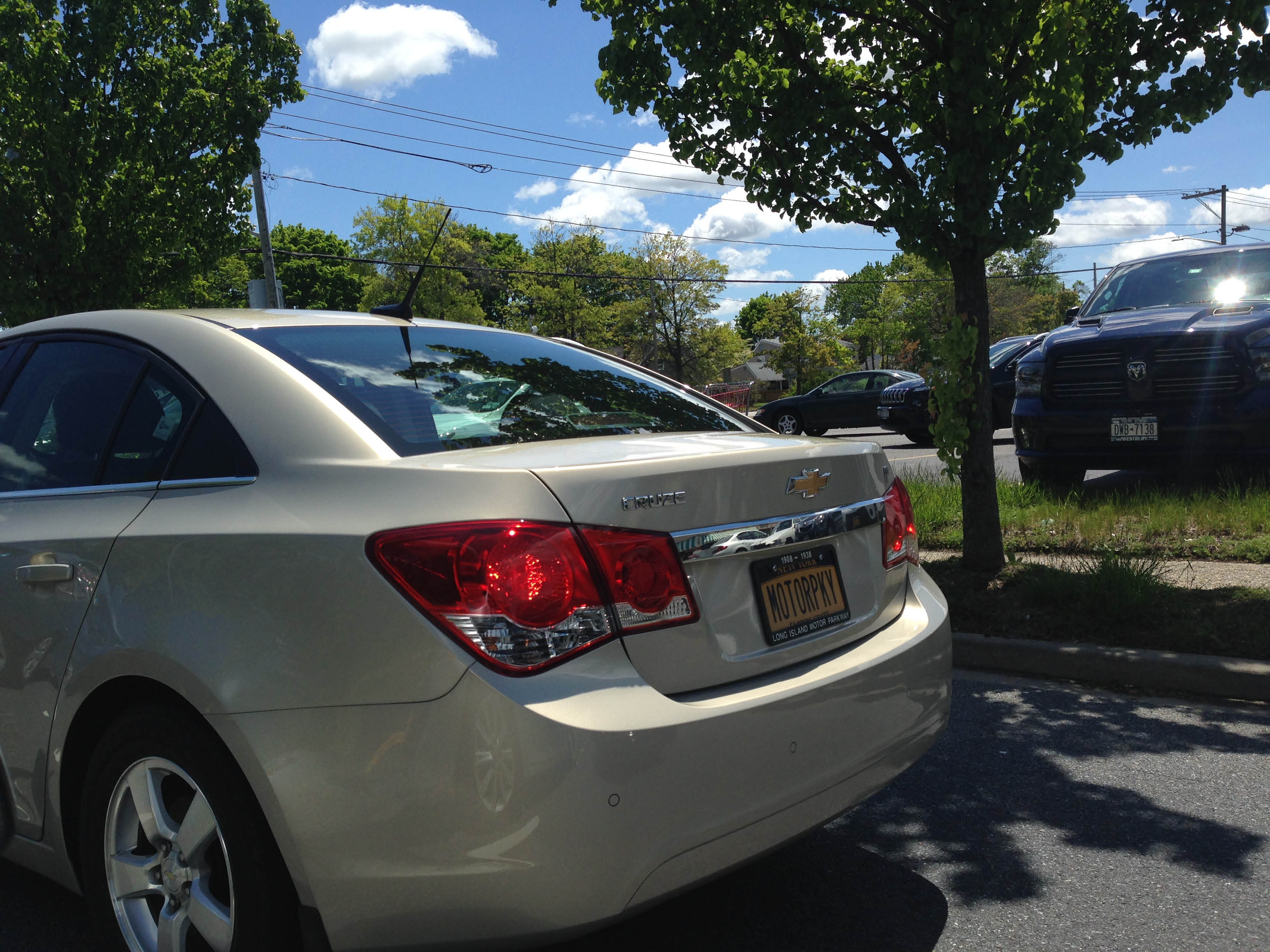
Art Kleiner: Check out the license of this automobile parked nearby!
South of Avoca Avenue
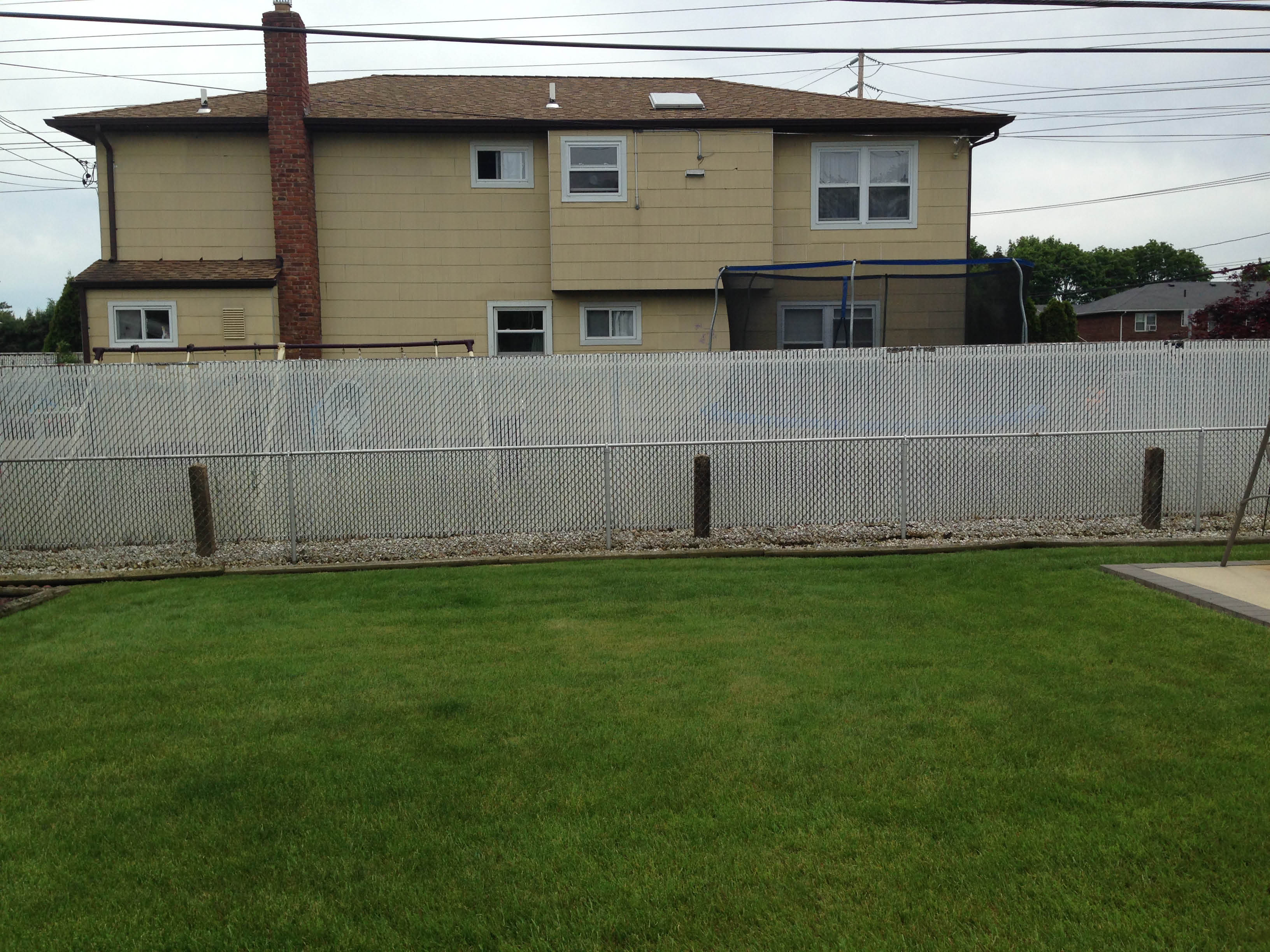
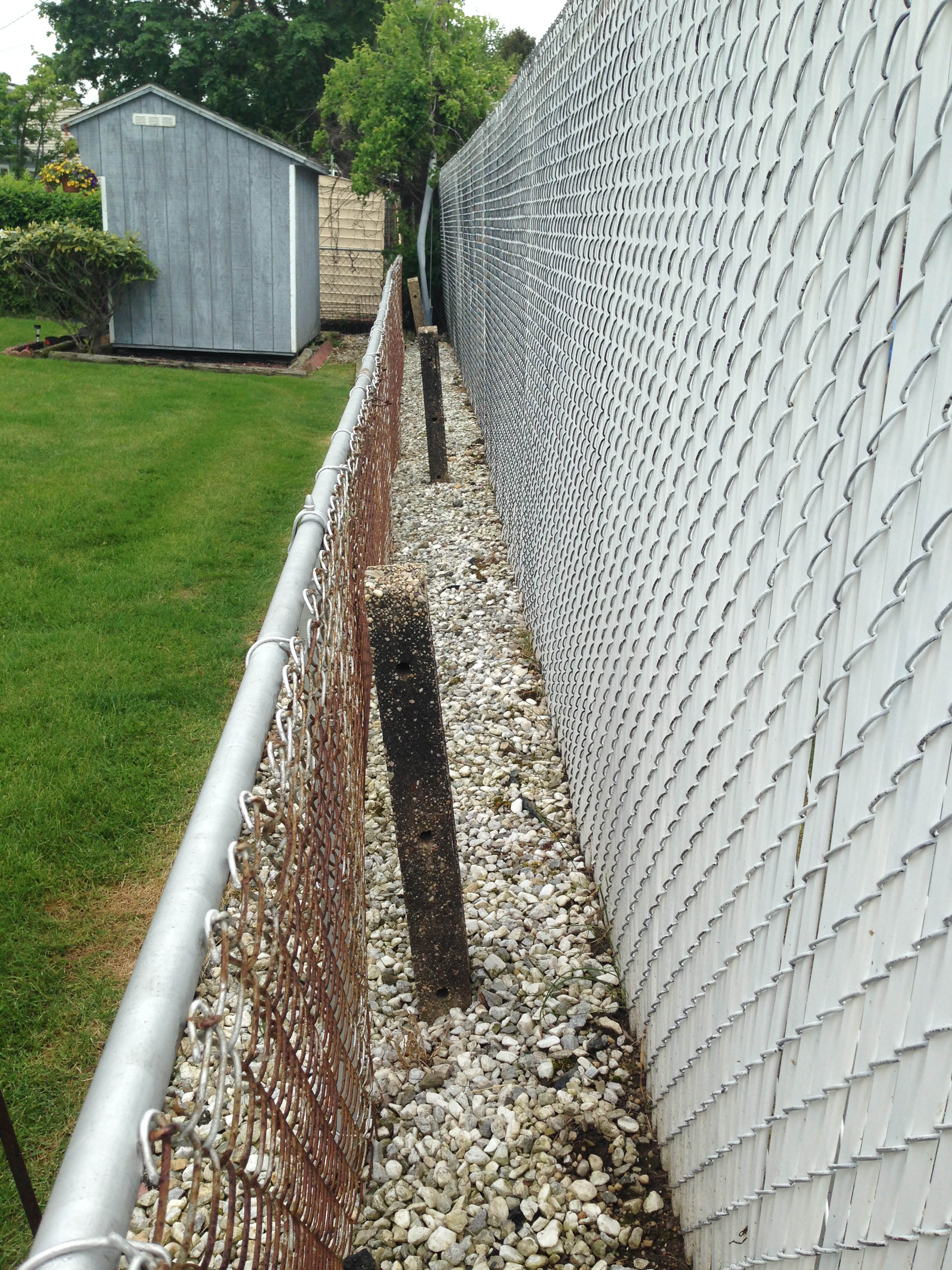
Art Kleiner: I met a gentleman who lives on Avoca Avenue. He invited me to take some photos of the posts in his backyard.


Comments
Great coverage guys! Google Earth measured the footprint at Polaris Field to 21.4 feet wide. That’s close enough for me. The road is sleeping down there! I’m pleased it’s in a ball field that’s momentarily safe and sound. How to connect these remaining remnants to Nassau County’s ongoing preservation efforts, to finally tie together this historic right-of-way?
Good coverage, guys! Dave….Like you, I bought myself a 2 ft shovel for the exact same reason. Less noticeable, but big enough for the job.
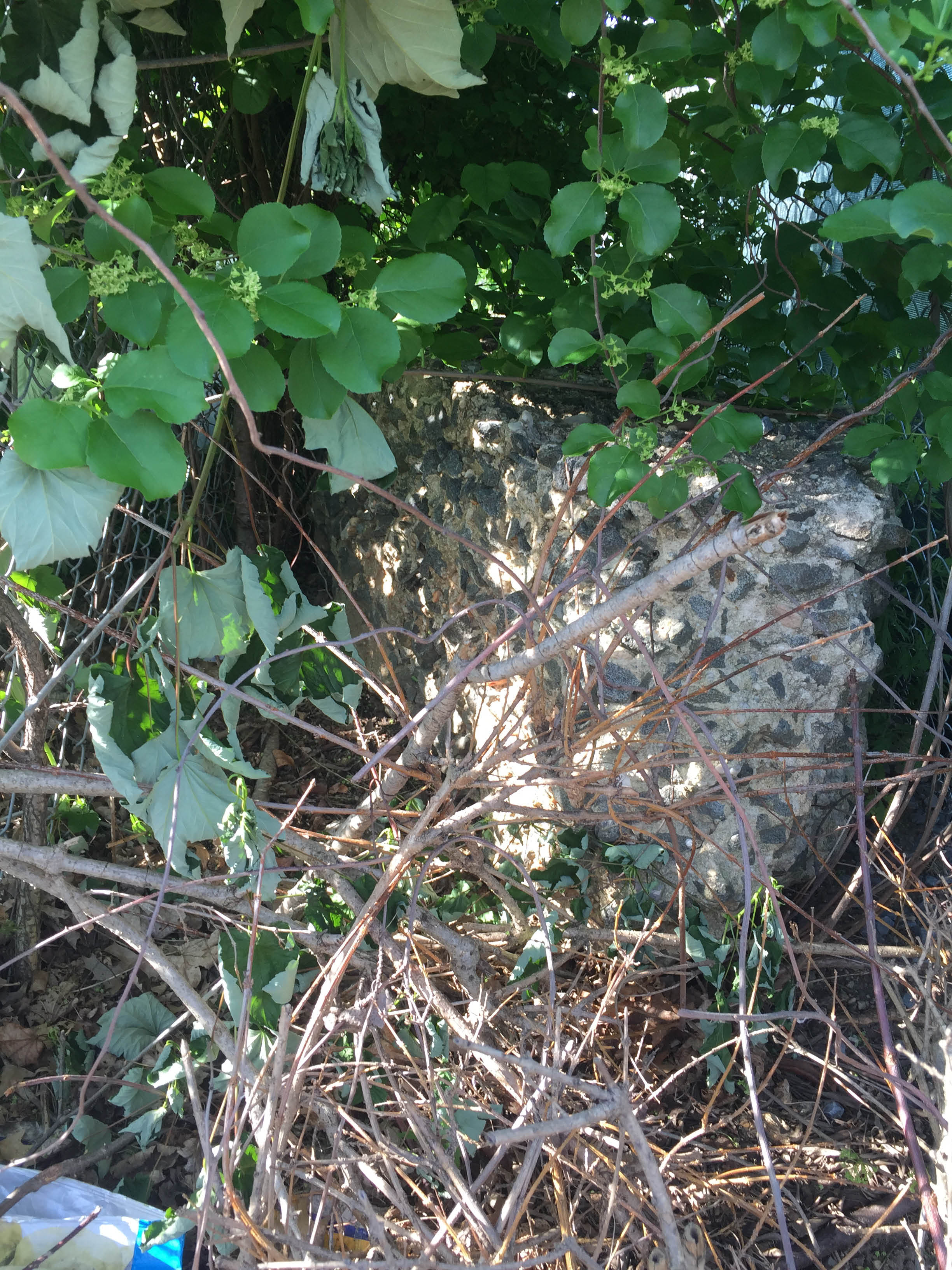
The pictures labeled east of Wantagh Ave…..it’s really hard to tell, the pics are pretty bad but those are not road remnant pieces. That is a small piece of a wall that borders the LIPA path and the LIMP ROW. I believe this is a small piece/remnant of a wall piece similar to those built and still standing in Bethpage, New Hyde park, and Roslyn. This was a former bridge location as wel and the construction of this piece appears to be the same as those others. I’ll get back there to take better pics one day.
Does anyone have any info on this location?
If there’s something to be found,you guys will find it,anyway you can,even getting outside help. That’s something with that car with that license plate,you can run into anything very unexpected,can’t you?
Howard you have to buy out that license plate. That thing belongs on your car! You must at least know this guy? I find it hard to believe he wouldn’t be an avid viewer / participant of your site. Someone fess up to this plate!
Art…. I can only guess that’s your car. Unless there’s someone else dedicated enough to pay extra for specific license plates$!
Sorry Brian, not me! I’ll leave it to the owner to self-identify. Was seen on Levittown Parkway (not the Motor Parkway) on 5/13 or 5/14.
Then I like to sum this up as “Findings We Come Across When It’s Not Expected”, Art.
And I agree, Dave. Whoever is the owner of this car HAS to be someone here? Would make an excellant Mystery Foto.
Brian, any thoughts on that wall piece? I figured you might have seen that before in your LIPA path. Maybe it was larger several years ago? I’m surprised there’s been no interest / discussion about this.
Hi Dave. At first glance, these look like chunks of LIMP pavement. Is the wall piece (if it’s still there) situated between the original entrance to the precinct and the PSEG LI ROW on the E/S of Wantagh Ave? I don’t recall a larger wall section in the past. I guess you tried moving it,etc. If it didn’t budge, then I guess it’s set in the ground? It could’ve been a “barrier” like you suggested, similar to the ones that were constructed to keep autos off the closed LIMP.
Told Frank if I was around in 1938, I would’ve drove or biked the LIMP with a camera soon after it closed. The oldest camera I ever had was a polaroid, lol.
A shame Nassau County didn’t have easements on properties they sold, which closed off inside-the-block sections of the Parkway. That’s why they must do the arrow and path bit a goodly distance from the actual rights-of-way.
Brian, definitely piece of a wall. It is in the ground. It looks like a remnant of a once larger wall that was cut and this small part of it remains.
Regarding the Polaris pictures, concrete by sump at field 2, that is not pavement.
If you notice, the fencing posts are in the concrete. Typically, fence posts around a sump (recharge basin) are cast in a concrete curbing. That is what you are seeing, a concrete curb for the fence.
I don’t think concrete made in that era here on long island had crushed bluestone in it. Pretty sure they used native gravel.