Favorite Website: NYCityMap - New York City’s Online Map and Aerial Portal
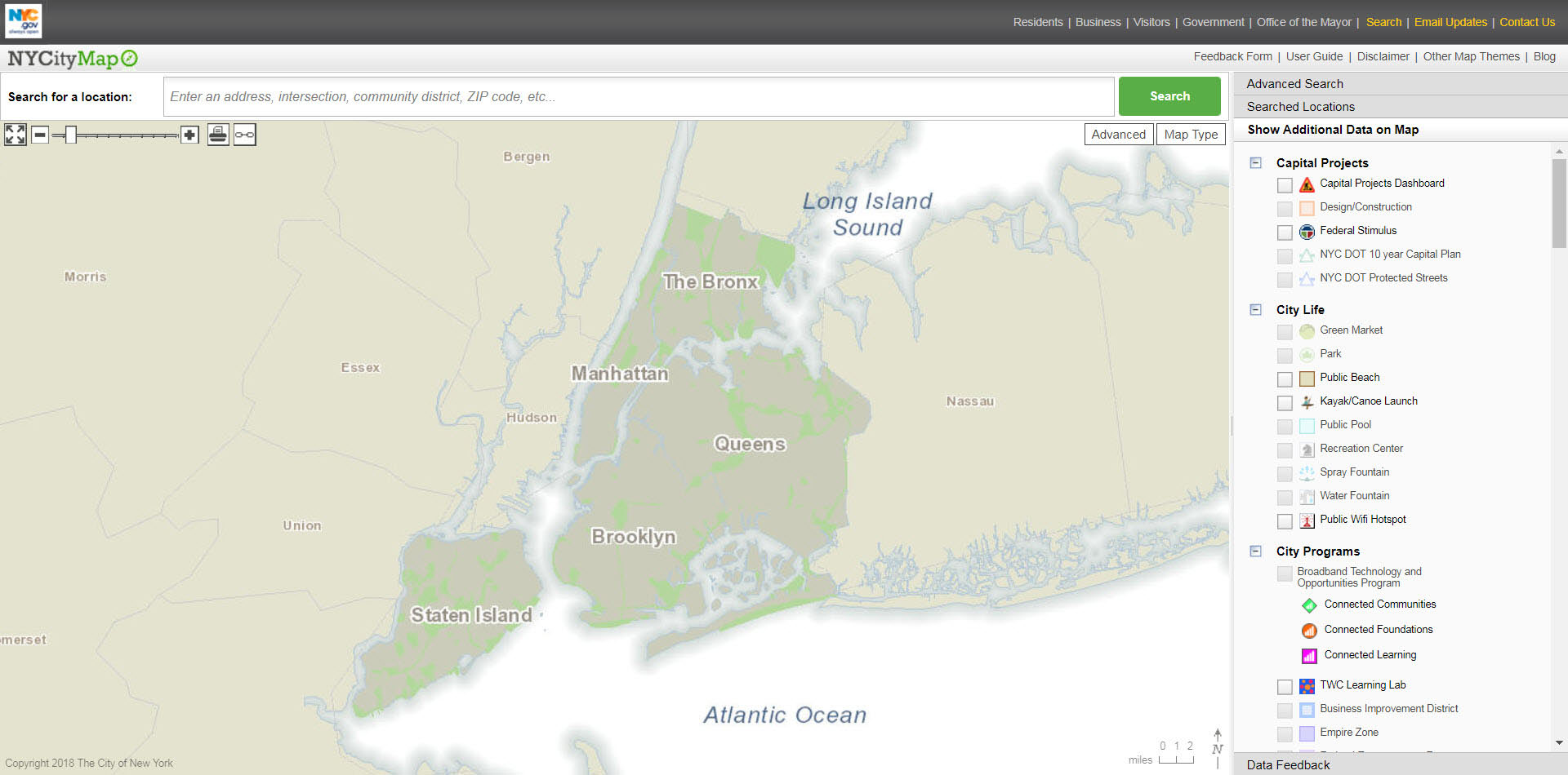
Tom Padilla has forwarded a link to NYCityMap, which provides a wealth of information on all properties within New York City. The amazing map type feature on the website offers New York City and the Long Island Motor Parkway aerials from 1924 to 2012.
Enjoy,
Howard Kroplick
How to Start
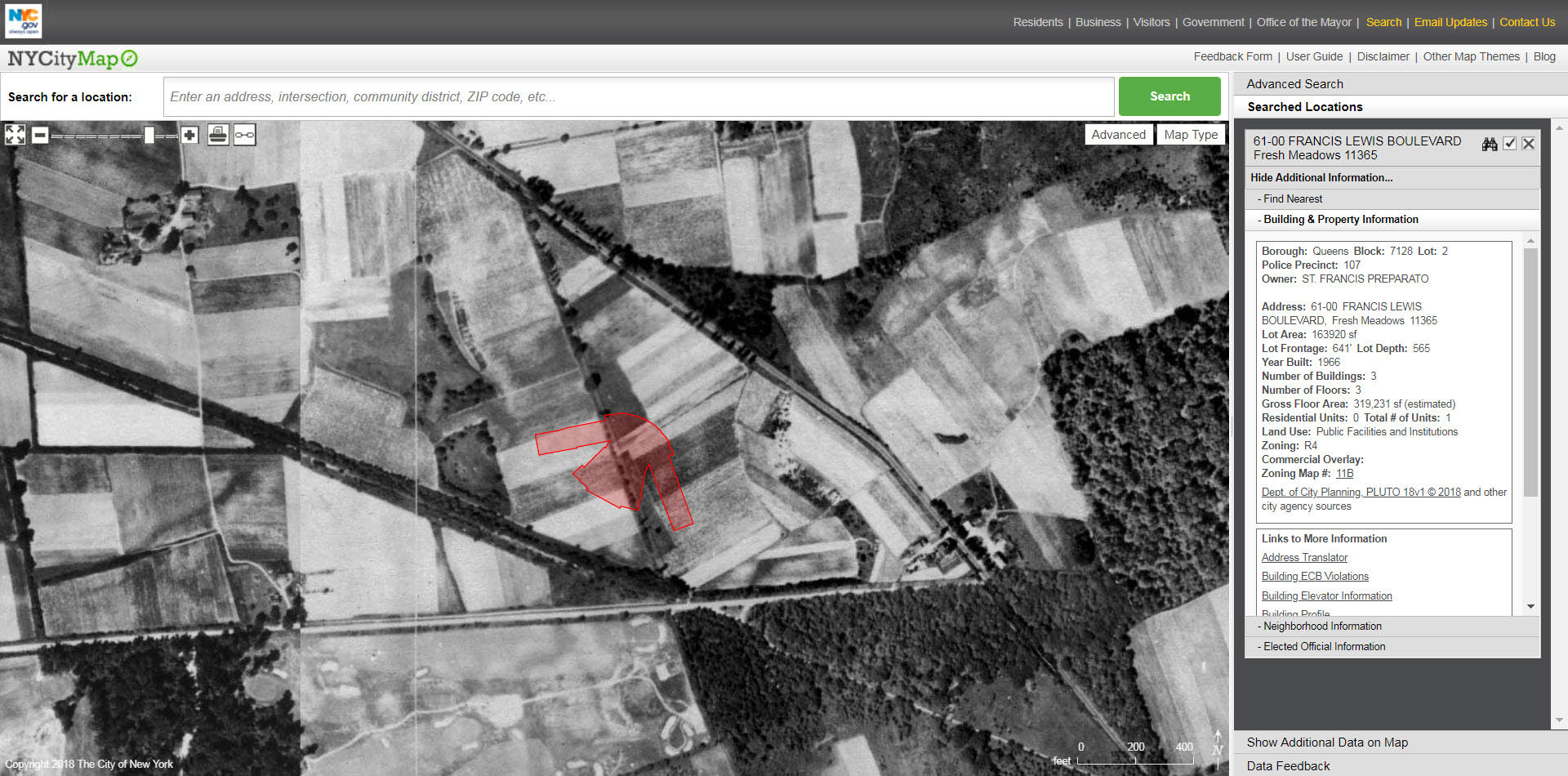
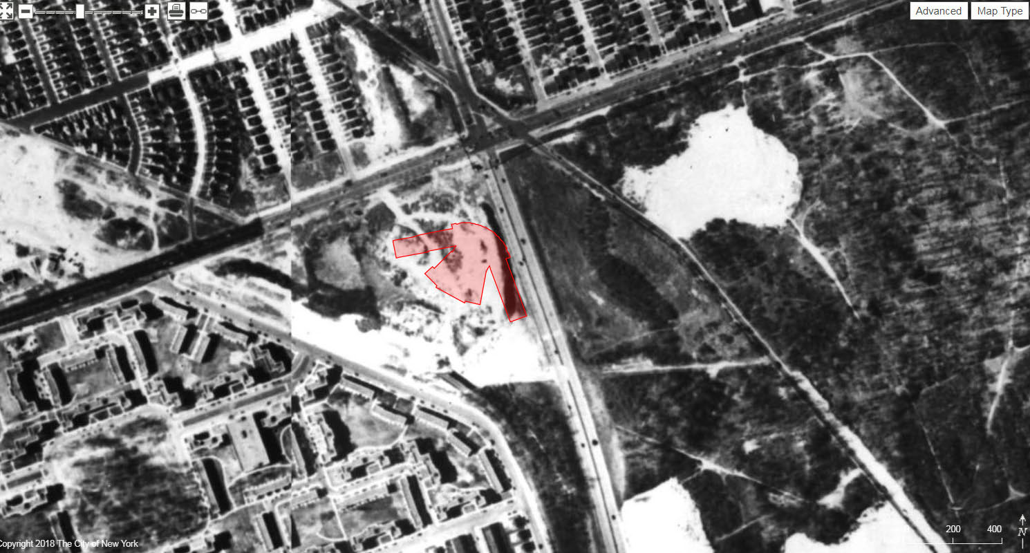
As an example Tom Padilla suggests entering the address of St. Francis Prep (6100 Francis Lewis Boulevard). This will get you near the Western Terminus of the Motor Parkway. Using the Map Type button to the right of the map and click on the various aerial option.
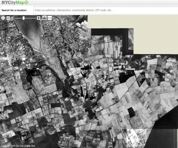
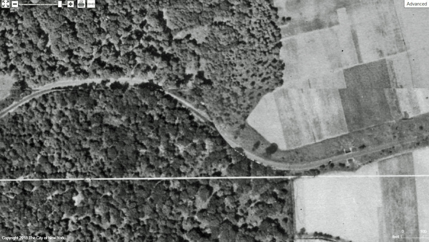
This 1924 aerial shows that the Motor Parkway still had not yet been built in this section.
Tom Padilla: "I think you will be blown away by how much was still farmland."
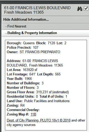
Information on the St. Francis Preparatory School building built in 1966.
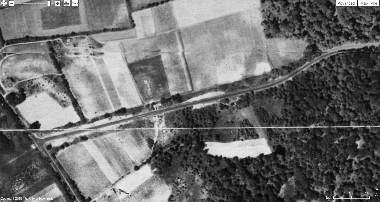
1951 Aerial
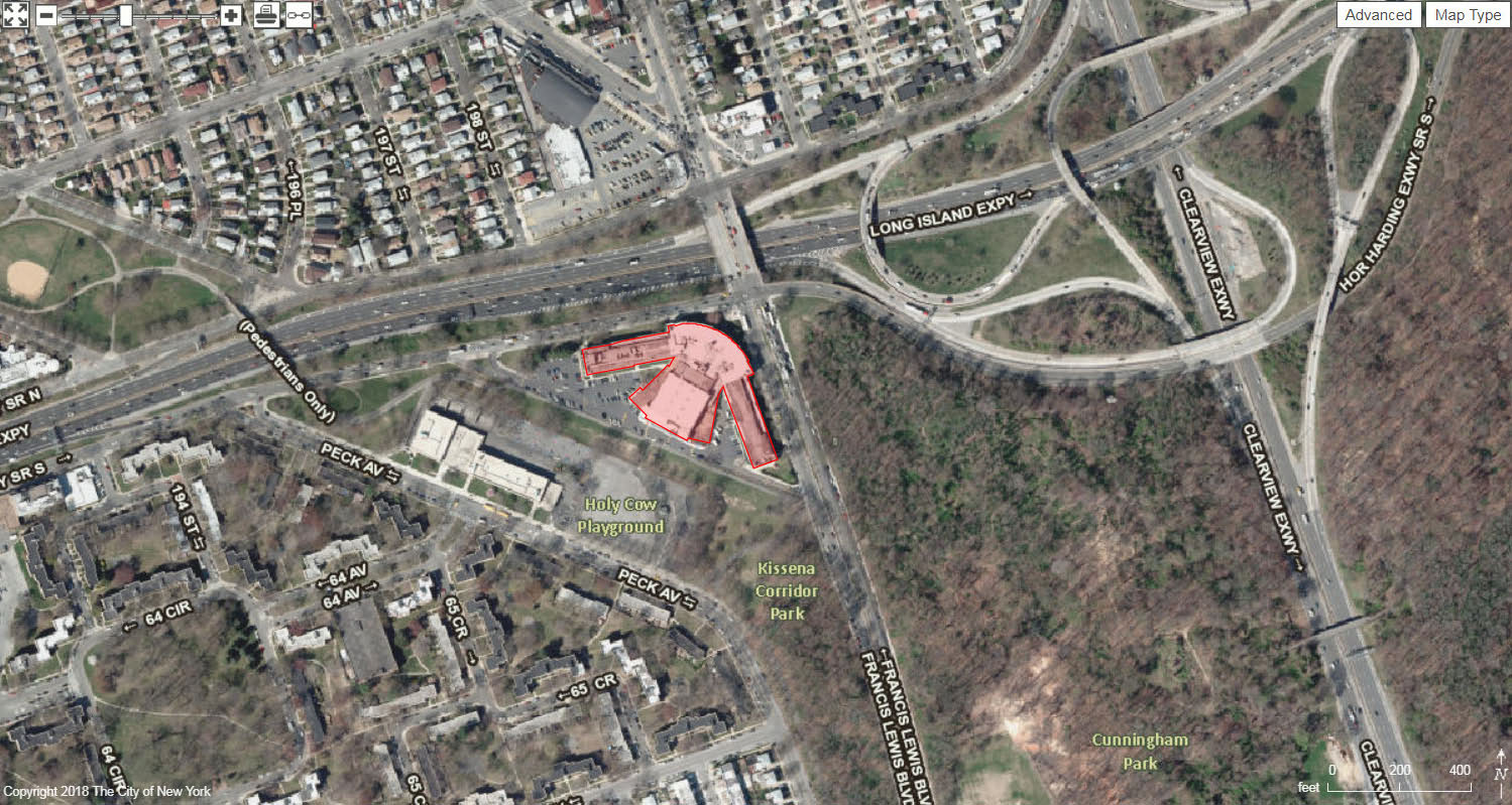
2012 Aerial
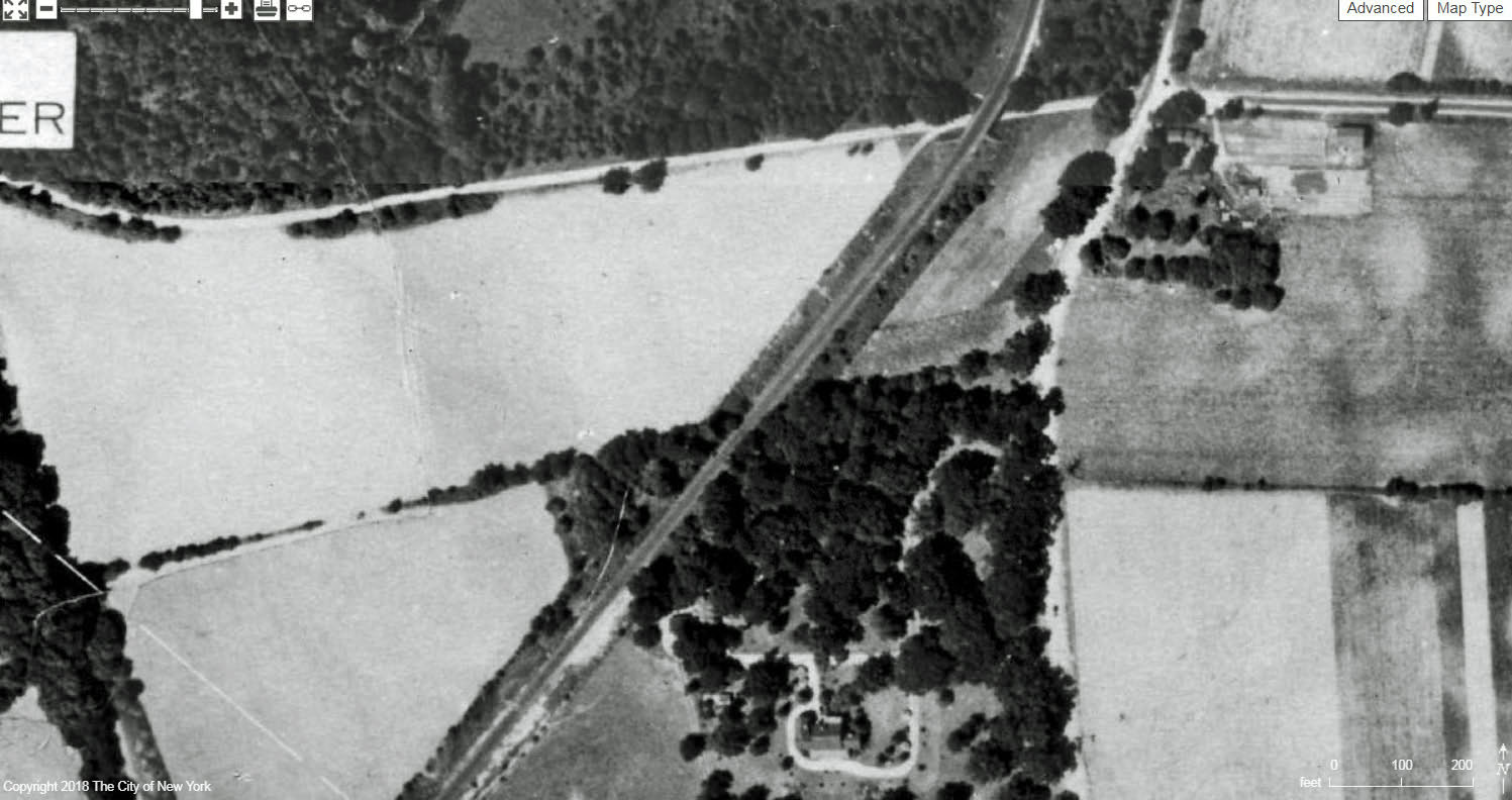
The Motor Parkway in 1924 (Springfield Boulevard to Lakeville Road)
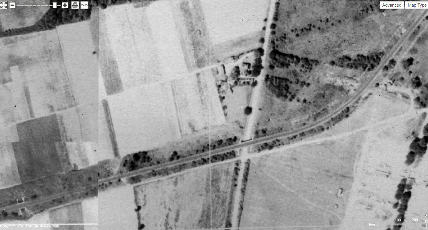
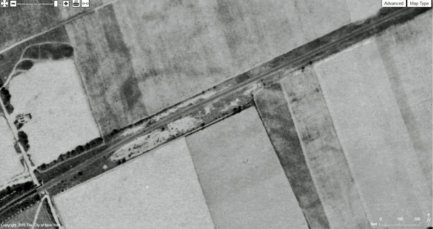
Use your mouse to move east to Springfield Boulevard, which was the Western Terminus of the Motor Parkway in 1924. Heading east, the first bridge that can be seen in the Wheeler Farmway Bridge #1.
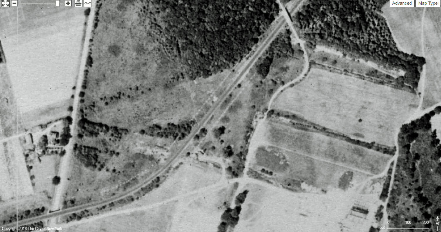
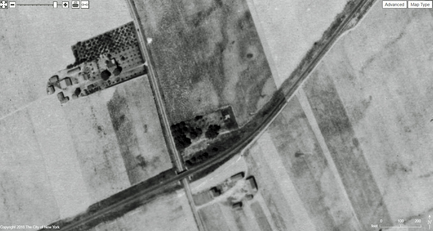
Wheeler Farmway Bridge # 2 (far left) and Winchester Boulevard Bridge.
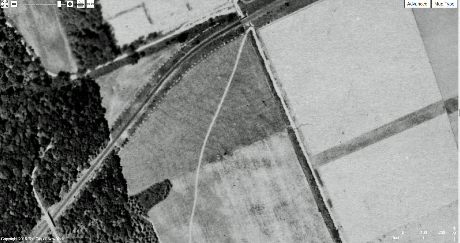
Winchester Boulevard Bridge and Creedmoor Bridge.
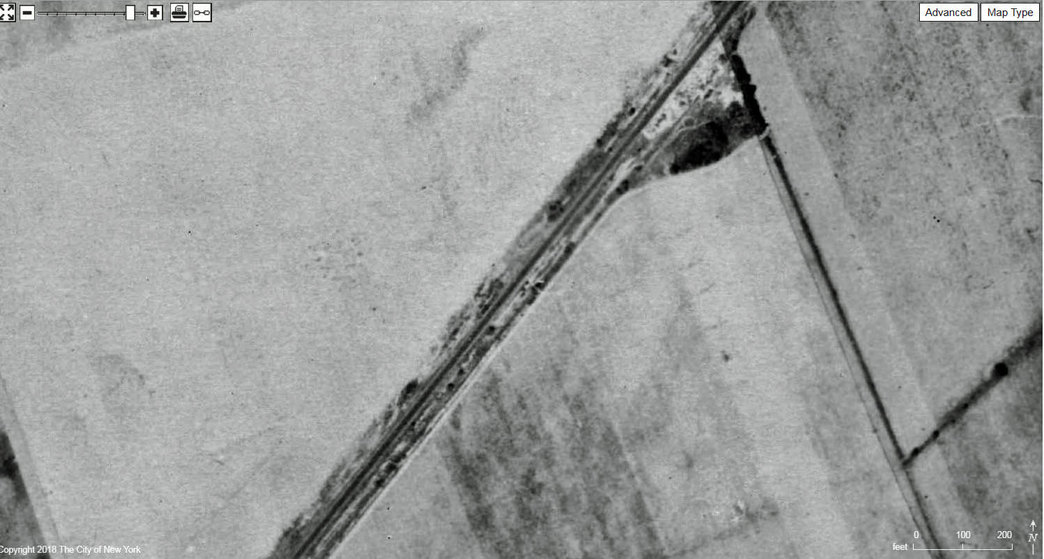
Creedmoor Bridge and Commonwealth Boulevard Bridge
Commonwealth Boulevard Bridge.
Little Neck Parkway Bridge.
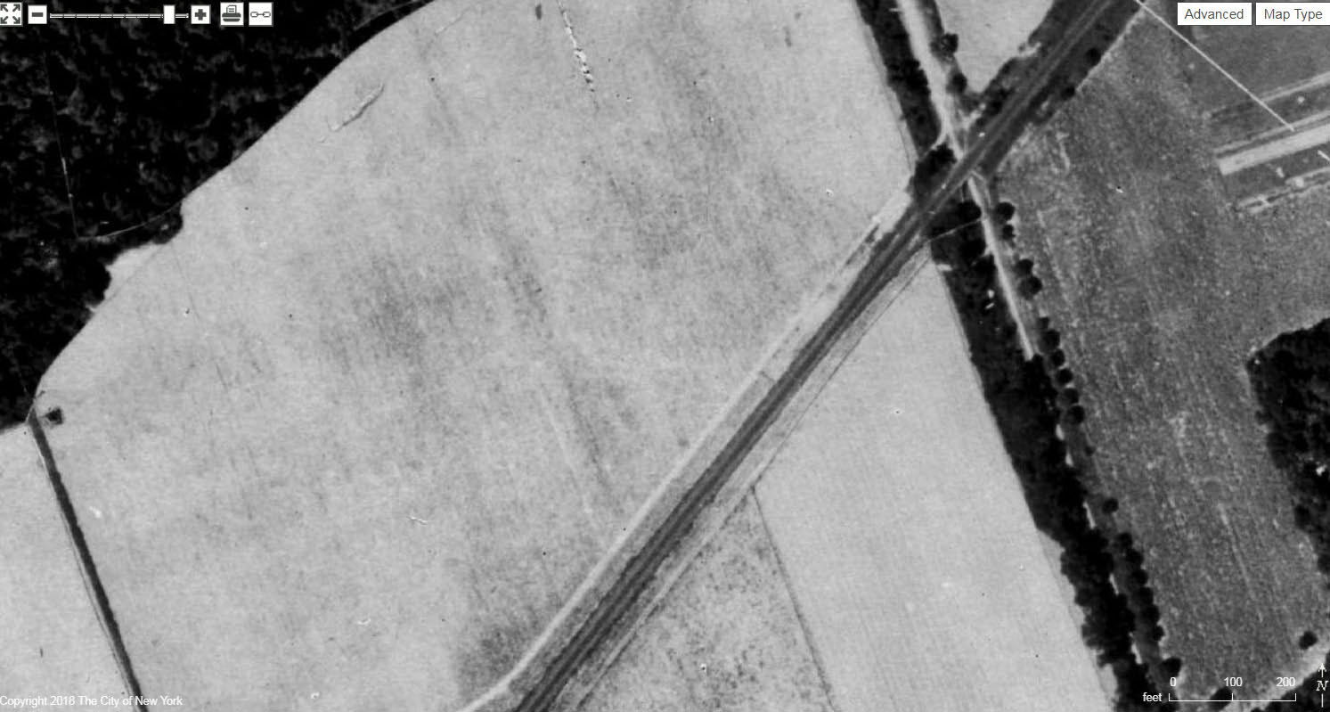
Vanderbilt Farmway Bridge
Marcus Avenue Bridge.
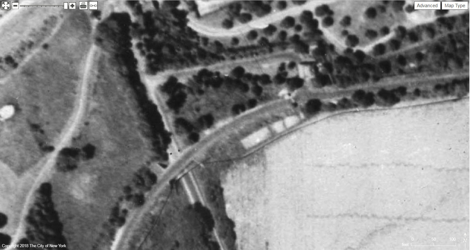
Lakevill Road Bridge
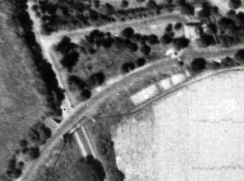
A close-up showing the Lakevill Road Motor Parkway Bridge, the Great Neck Lodge and its entrance off Lakevill Road.


Comments