Then & Now- The Western Terminus to the 73rd Avenue Motor Parkway Bridge
Dee and Greg Oreiro last April decided to duplicate the 1970 Queens walking tour of J.J. Conroy as posted on Sam Berliner's Motor Parkway site. Fifty years after Conroy's tour, Dee and Greg explored the the Western Terminus.
My favorite co-author Al Velocci has provided images of this area that he photographed in 1998 and 2007.
Enjoy,
Howard Kroplick
199th Street to the 73rd Street Motor Parkway Bridge
June 24, 1938
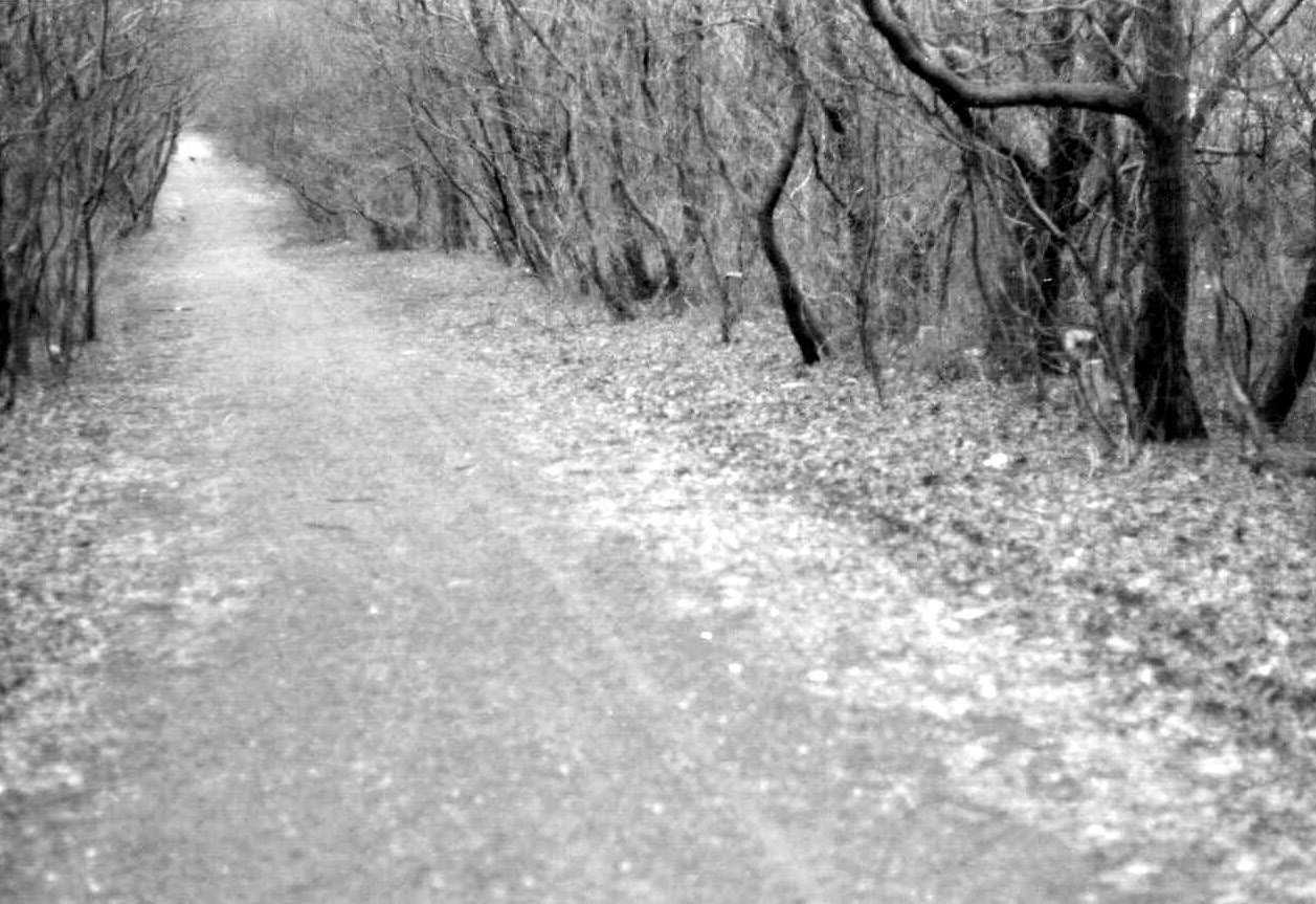
Then: 1970
1998
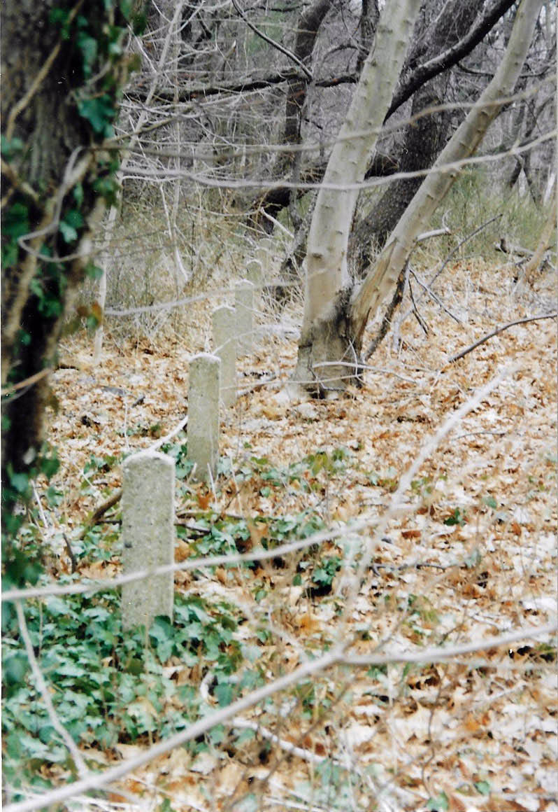
Al Velocci: Parkway posts on the west side of the Right-Of-Way south of 67th Avenue.
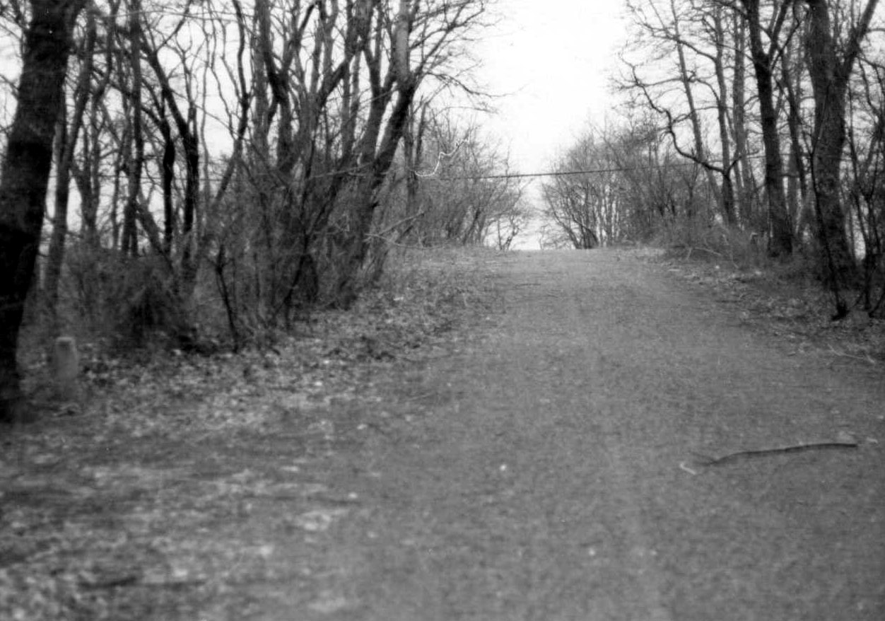
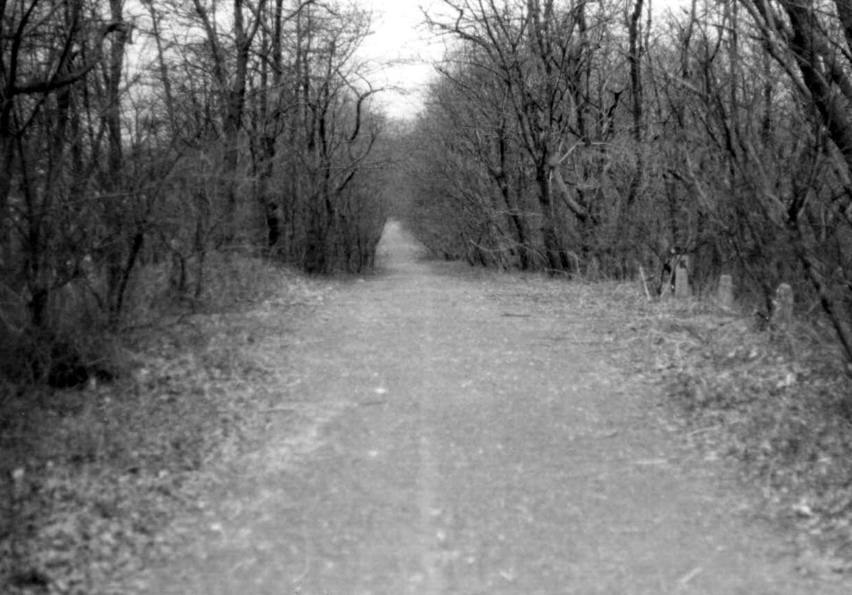
Al Velocci: Parkway R.O.W. looking South from 69th Avenue.
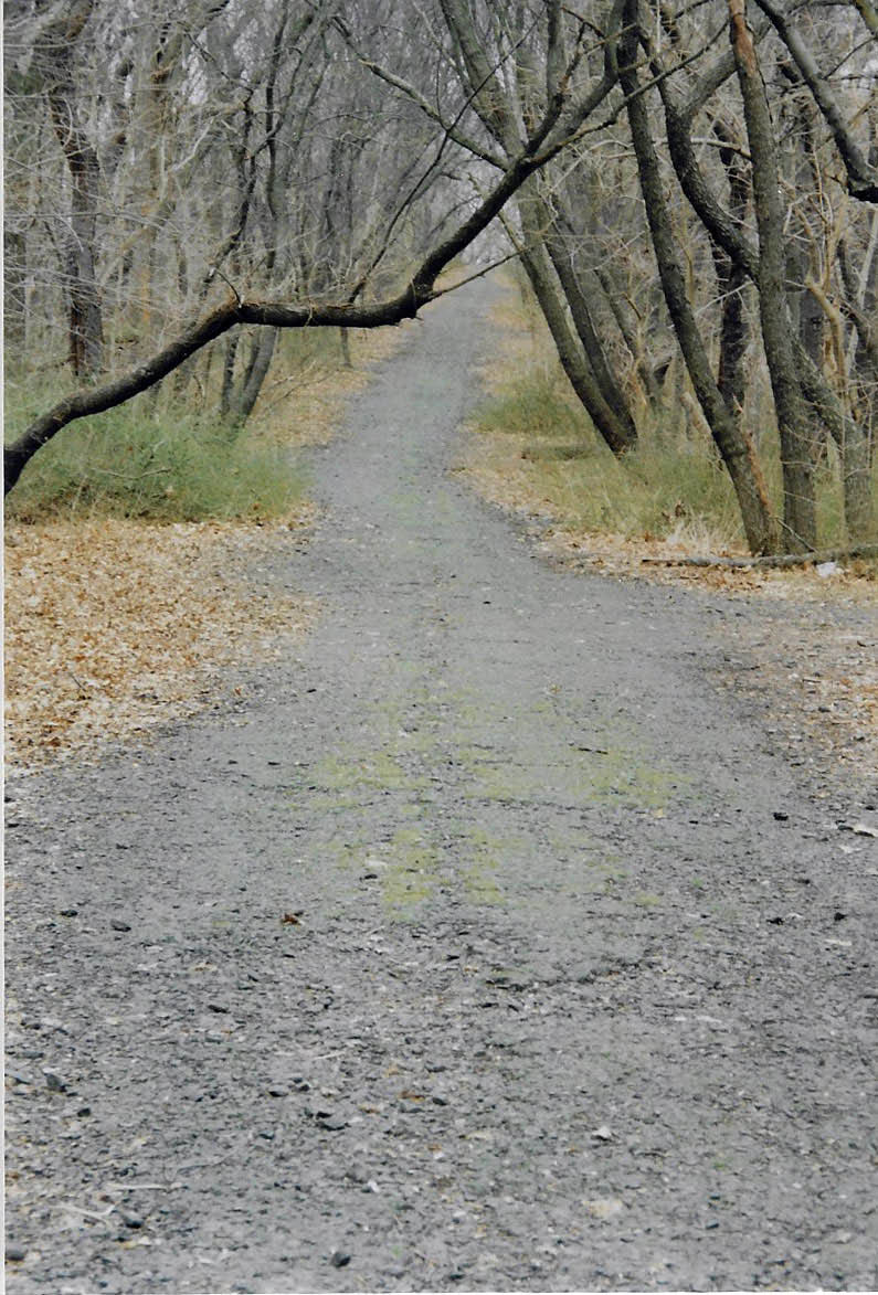
April 2007
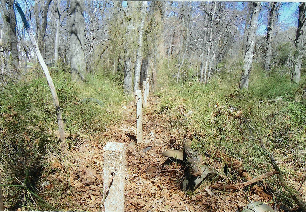
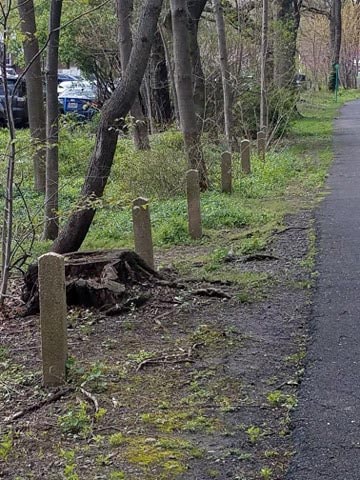
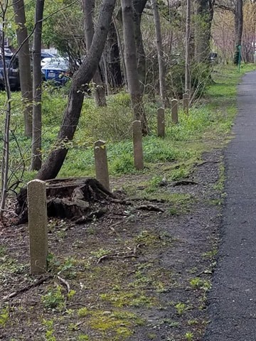
Al Velocci: Parkway boundary posts north of 69th Avenue on east side of R.O.W. in the late 1920's. There were at least ten of these posts in place in 2007.
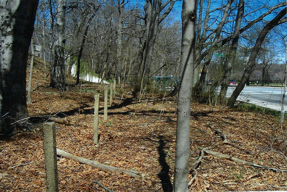
Al Velocci: Triangular-shaped post on the east side of Parkway's right-of-way south of 73rd Avenue . Frances Lewis Boulevard is on the right. There are more of this type of post north of 73rd Avenue on the east side of the R.O.W.
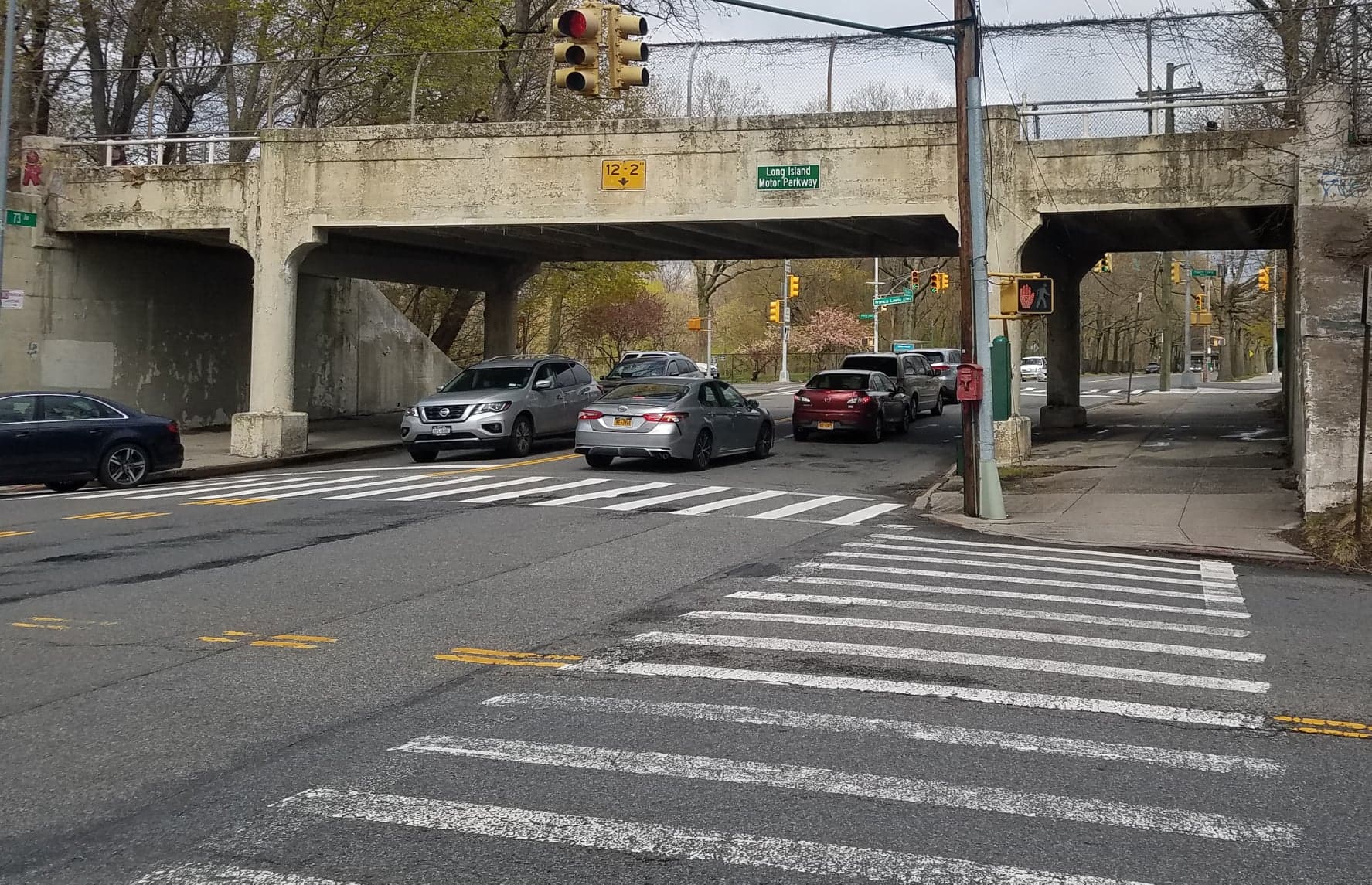
Now: April 2020
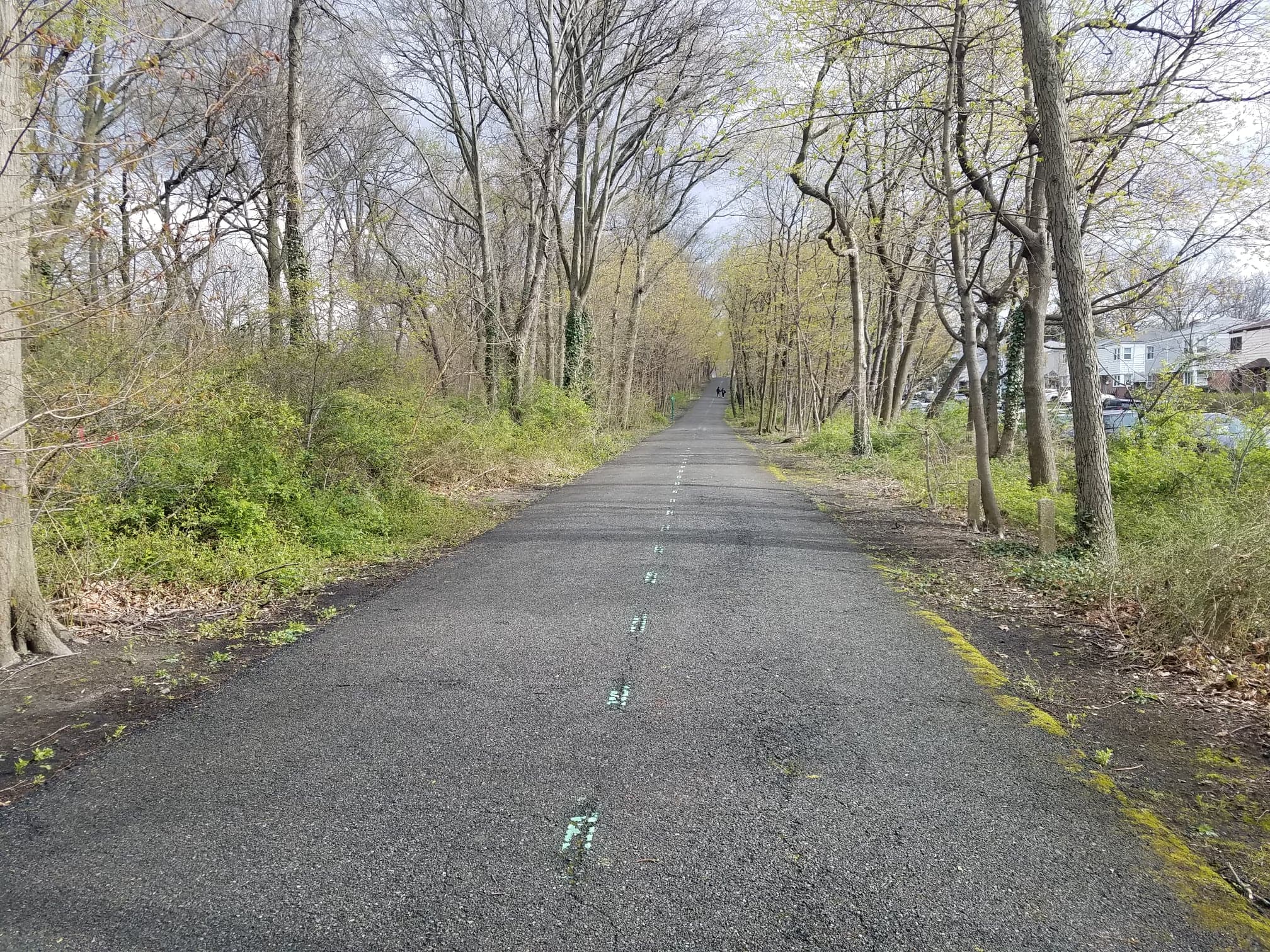
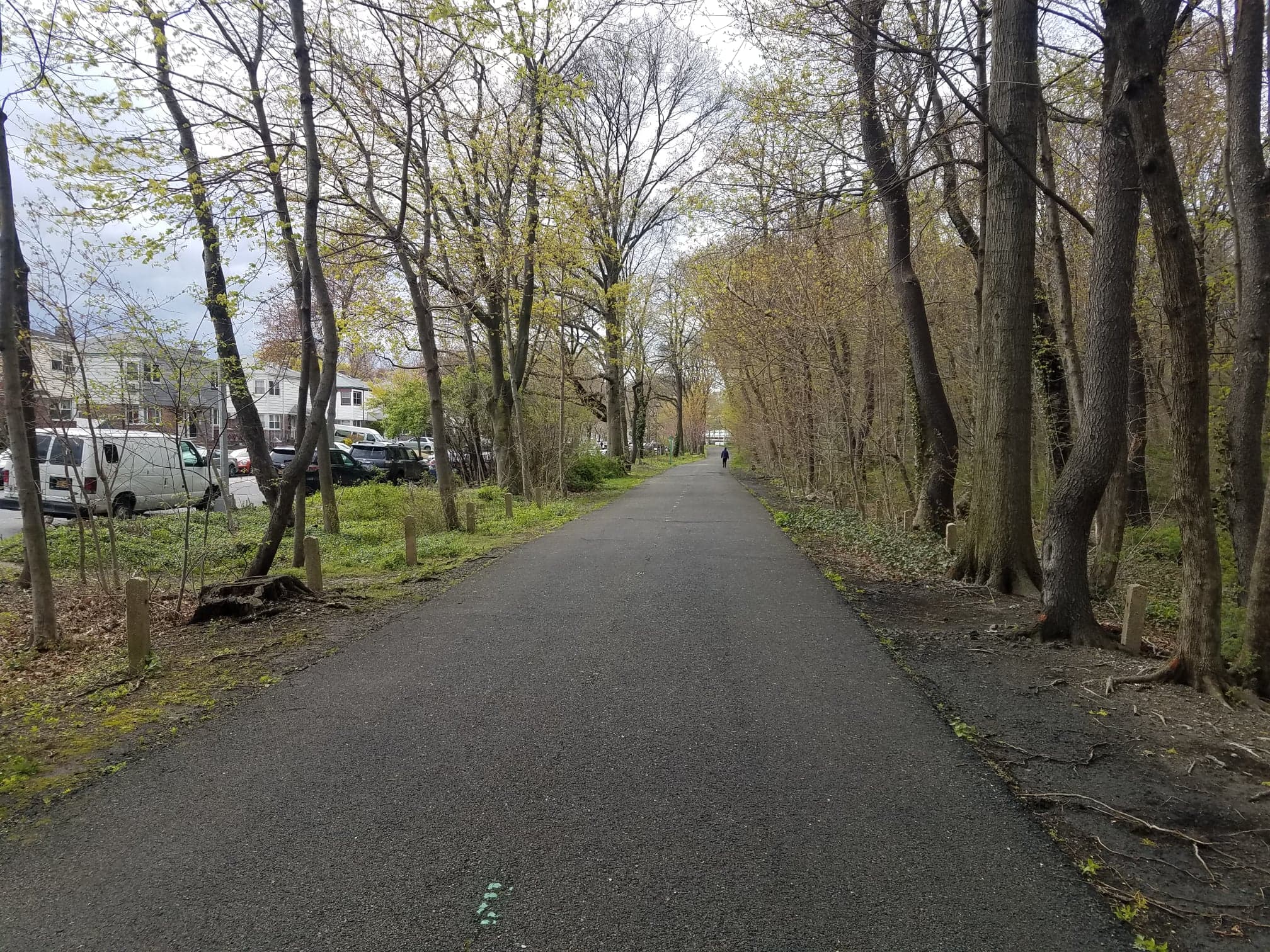
Greg O.: Same posts as in 1970 looking in the opposite Northward direction
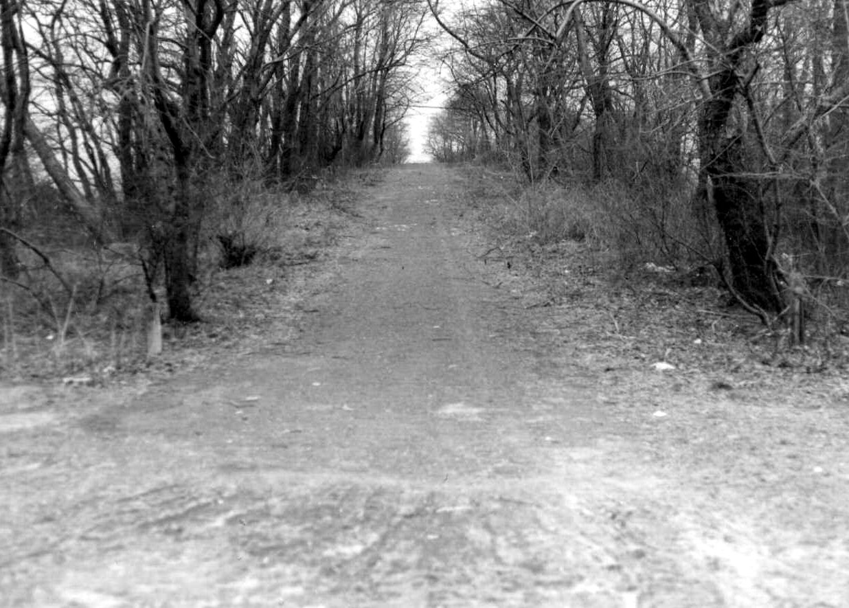
Then: 1970
Now: April 2020
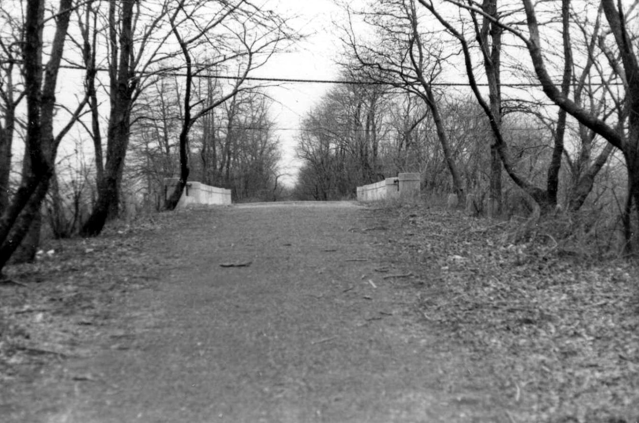
Then: 1970
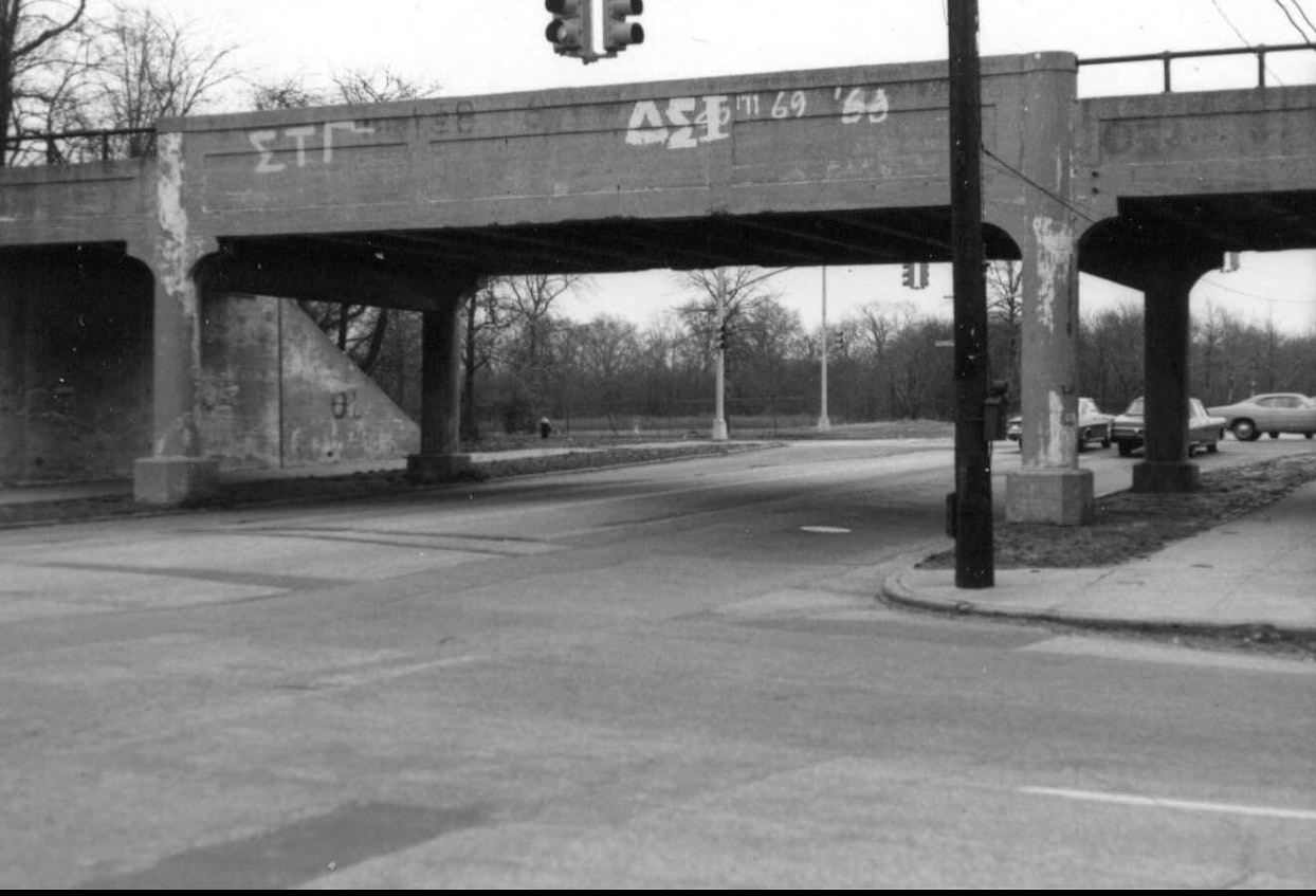
Greg O.: Then: 73rd Avenue Motor Parkway Bridge looking east. Francis Lewis Boulevard can be seen in the background.
Then: 1998
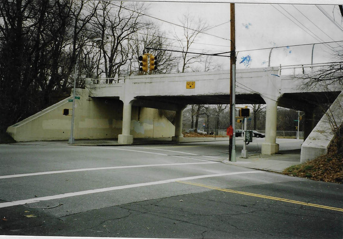
Al Velocci: View looking north west.
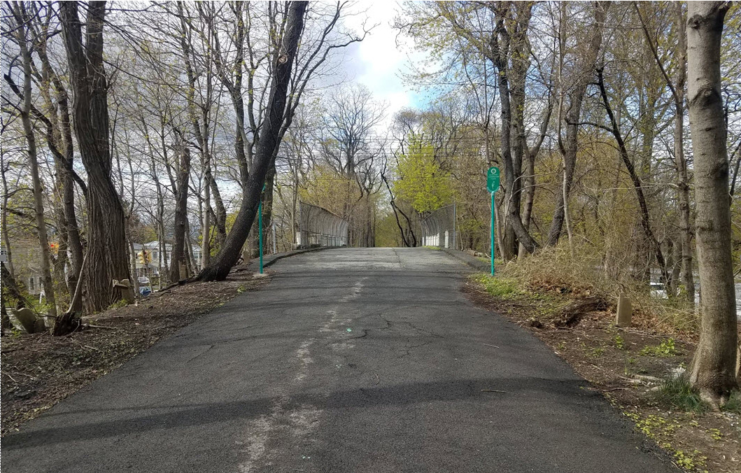
Now: April 2020
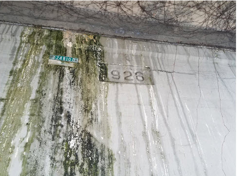
Greg O: Date of construction clearly seen as 1926. This section of the Motor Parkway in Queens wasn't even constructed until after 1924.


Comments
Exactly where was the actual entrance on today’s streets? I envisioned it somewhere near the L.I.E. at 199th, but I recall someone had said it was in the Garden Apartments west of 199th Street. That seems to differ from Al’s map. Thank you
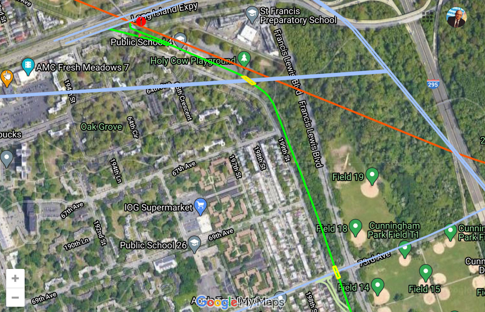
Bruce, I’m one of those (if the only one) who claims it was further west, say around 193 (see <http://sbiii.com/limp-qns.html#westterm>. Al V. said it was at 195th. I maintain the entry was between the row of trees and the HHB pavement. My site has many old photos of the area but they’re scattered (or lost); the 73rd St. bridge in 1955 and 2001 is on <http://sbiii.com/limp-qn2.html> and the area and bridge especially in 2002 on <http://sbiii.com/limp-qn1.html> and in 2008 on <http://sbiii.com/limp-qn3.html>. Wherever the entry was, it was definitely westward along the south margin of Horace Harding Boulevard, NOT south of it, although the toll gate itself and the kiosk WERE located some 300’-400’ to the southeast; this may account for some of the confusion. The 05 May 2018 blog post shows the entry ca. 1938. CHALLENGE - LIers - has anyone checked in detail on the ground around Peck Ave. just southeast of the merge with HHB? Google Maps shows all sorts of interesting traces (possibly just sidewalks - see attached). Sam, III
Bruce, pin pointing the very exact location of the western terminus of the Motor Parkway at the LIE. is a little tricky The City had acquired a 160 feet wide swath of land for what was originally Nassau Blvd. later renamed H.H. Blvd. At the time the Parkway reached Nassau Blvd., only the center part of that roadway was developed, (roughly 40 feet wide ), so some guess work is involved. but… after studying many maps, surveys, photos and drawings, I put it closest to today’s 195th St. and I’m willing to go out on a limb and put it at the east bound middle lane of the L.I.E One needs to look at the L.I. E. construction drawings of the area to get a clearer picture.
Here’s a screenshot of Frank’s online map zoomed to the western terminus. The red line is the Central RR ROW.
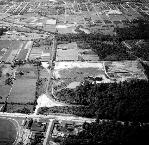
A nice aerial from the site here.
Amazing to me how there don’t seem to be any good OLD aerials of the terminus area WEST of 198th or thereabouts. I’d like to see the area of HHB around 194th to 198th, with its border of heavy trees and the margin on the south side, say around 1926-28. Anyone? Sam, III
Sam, check out Al’s amazing 1938 aerial of the western terminus below, stretching to 194 St., and possibly beyond. The distance measured from the former CRR RoW to the LIMP Row was only 60 feet, center to center. The LIMP entrance ramp off Nassau Blvd was ~230 feet at its widest, and narrowed as it approached the kiosk. It was 22 feet width thereafter.
Bruce, my best guess, the LIMP entrance was just east of Peck Ave, alongside the current ped overpass. The LIMP roadway ran through the middle of the school.
Al’s aerial was found here:
https://www.vanderbiltcupraces.com/blog/article/the_motor_parkway_western_terminus_in_fresh_meadows_curca_1938
Thanks, Frank; I missed that one. This just adds to my point. Getting to pixellation, you can’t see any demarcation between the south verge of NB/HHB and the LIMP entry ramp. Those missing pix showed just that from the ground - a continuous entry from the west. Is a puzzlement. Sam, III