Interactive 1924 Aerial Survey of New York City and the Motor Parkway in Queens & Lake Success
David Stephan has forwarded links to interactive high-resolution aerials of the July 1924 Fairchild Survey of New York City. The aerials were conducted for the City of New York Board of Estimate and Apportionment and are available on the New York Public Library website. Below are scans of the 1924 aerials of the Motor Parkway in Queens and Lake Success.
Check out Map 11C. David may have discovered the elusive Hillside Avenue Lodge! Be sure to click on the map links highlighted in red. You can enlarge each aerial by clicking on it.
Stay Safe, Stay Home, Save Lives,
Howard Kroplick
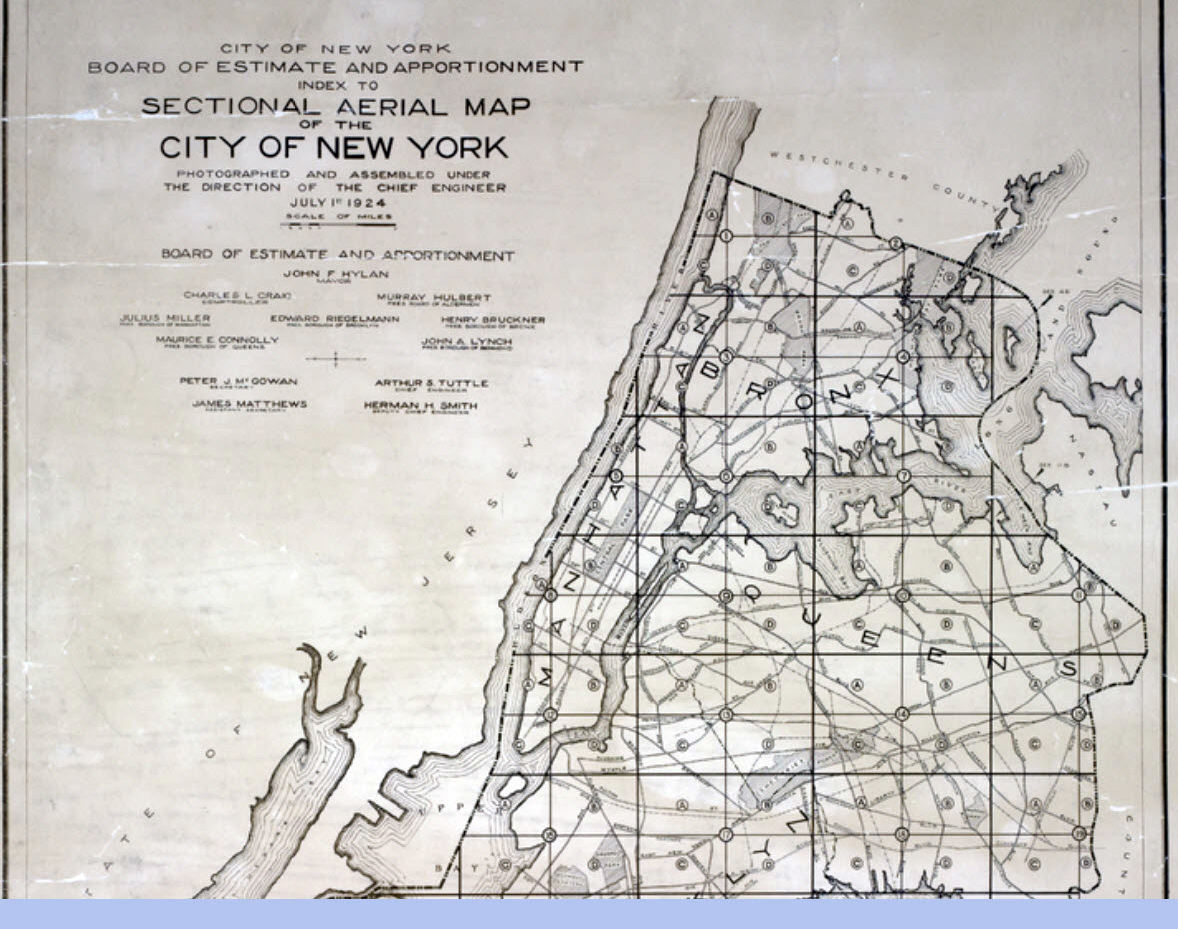
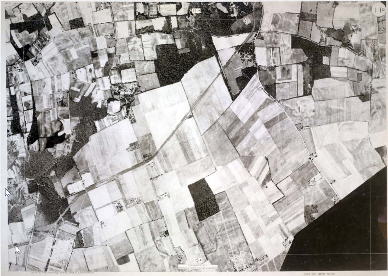
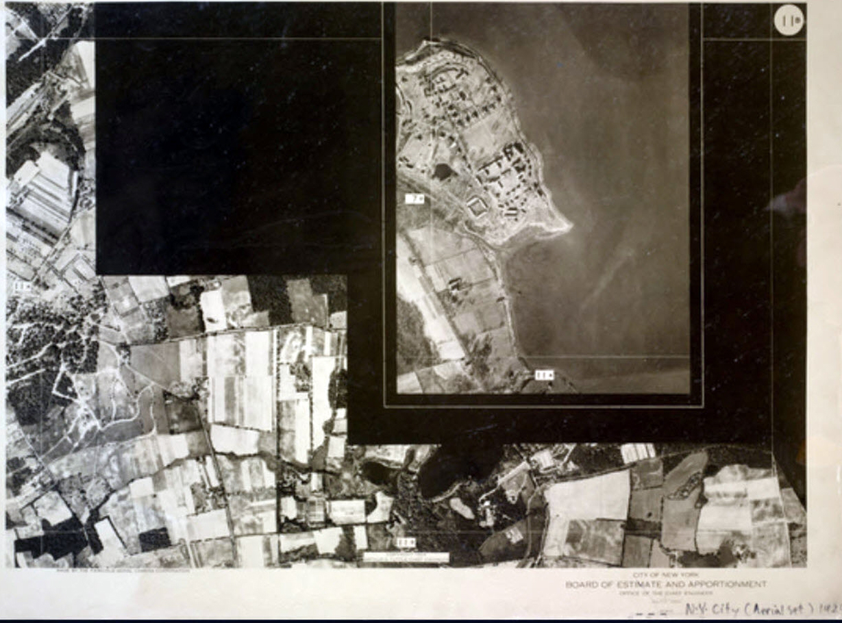
Index to Sectional Aerial Map
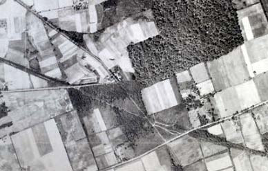
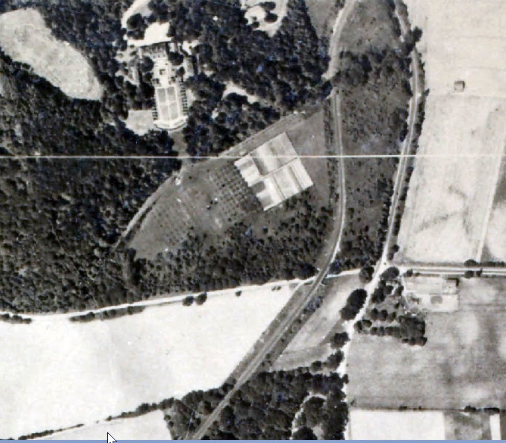
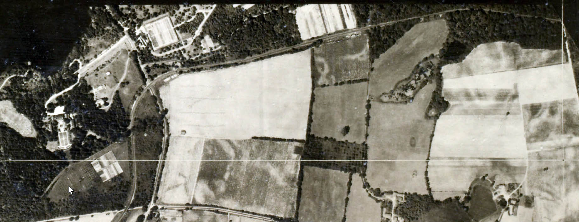
Map 11C
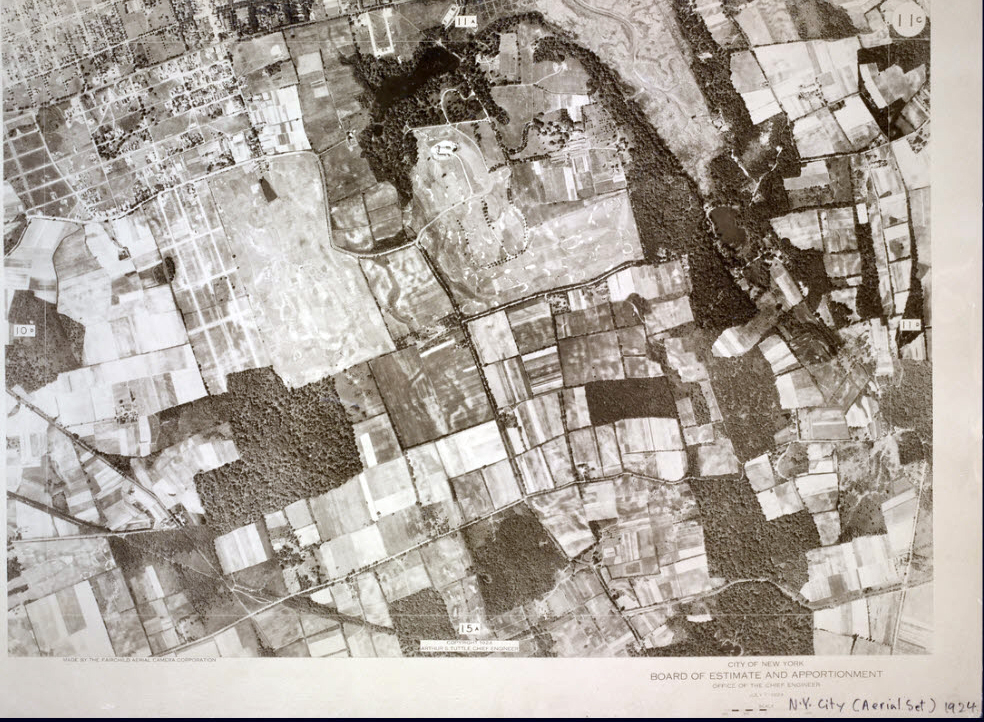
Motor Parkway is in the lower right corner.
Click on the above link. You can enlarge the image by clicking on the aerial and the aerial.
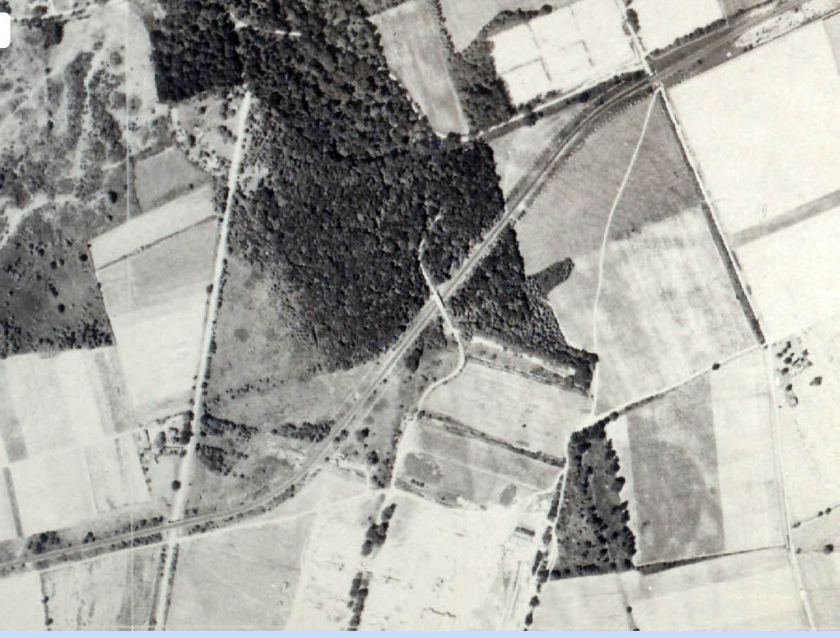
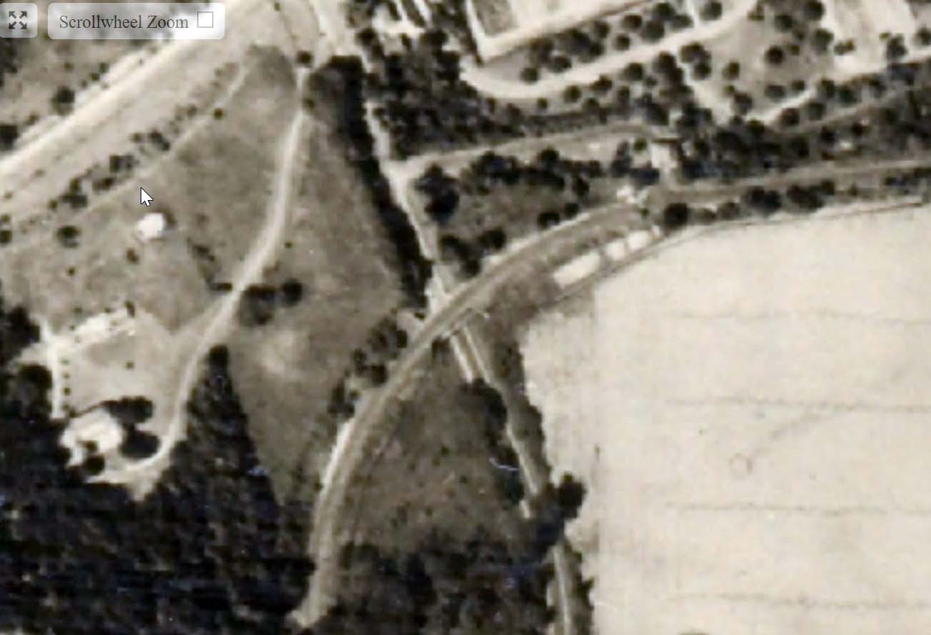
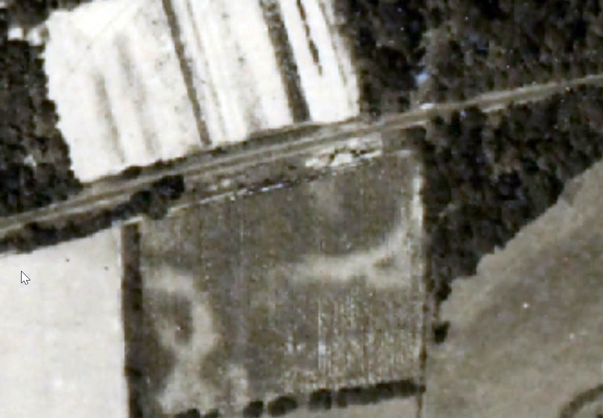
David Stephan: I believe the slide shows a car that has just started eastbound on the Motor Pkwy. The dark rectangle below the white grid line. You can clearly cars on Hillside Ave, and on the modern-day Braddock Ave (that forms a triangle with the modern-day Springfield Blvd.). Cars on Braddock enable me to match the scale of the dark rectangle.
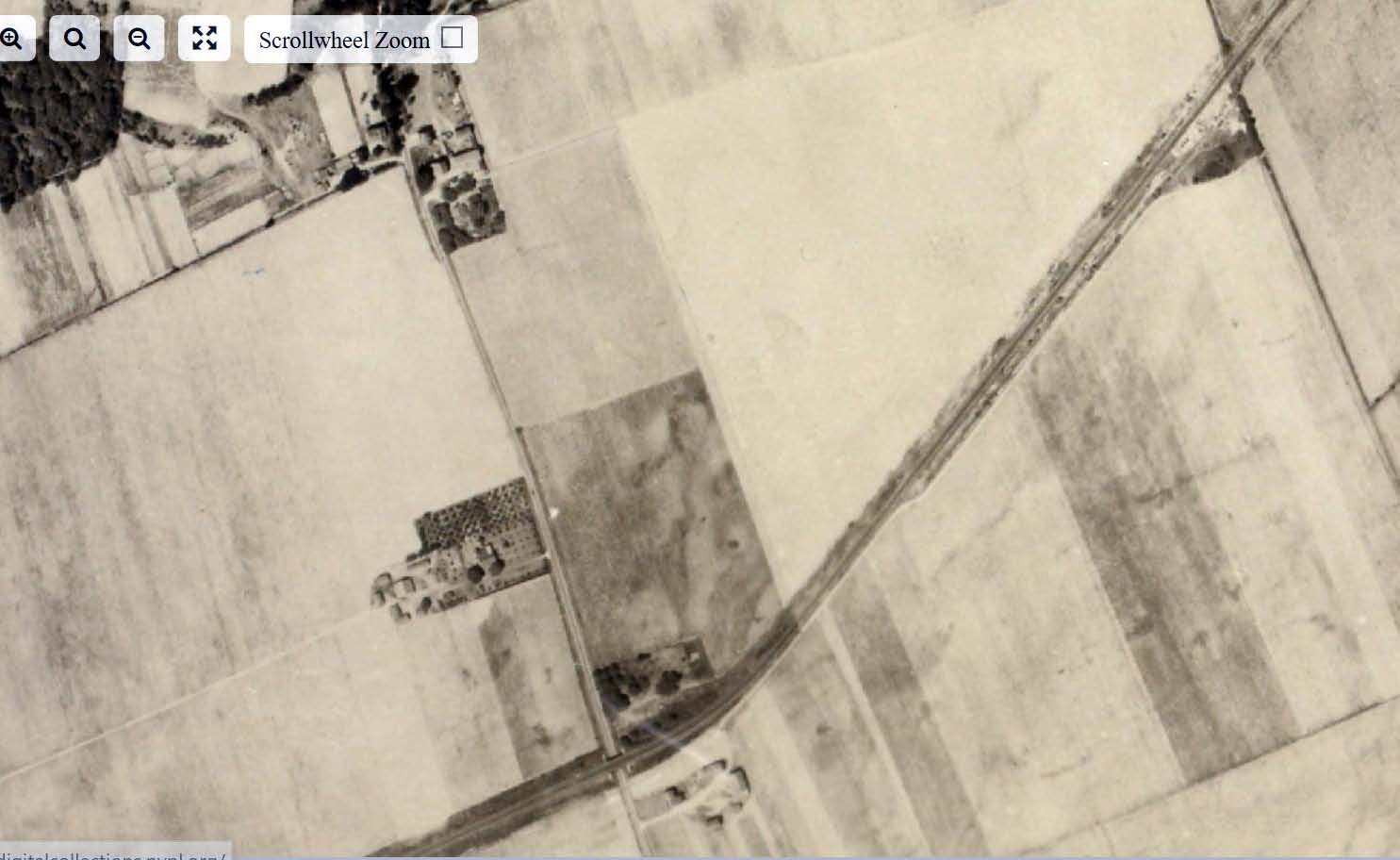
The Western Terminus of the Motor Parkway at Rocky Hill Road in 1924. Four years later the road would be extended west to Nassau Boulevard.
The future Western Terminus of the Motor Parkway at Nassau Boulevard.

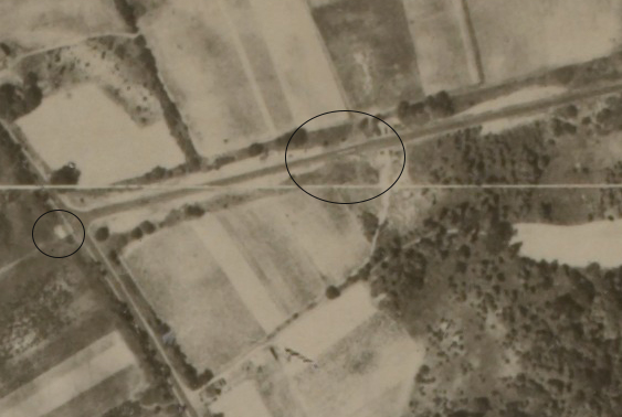
David Stephan notes two structures that may be related to the Motor Parkway.
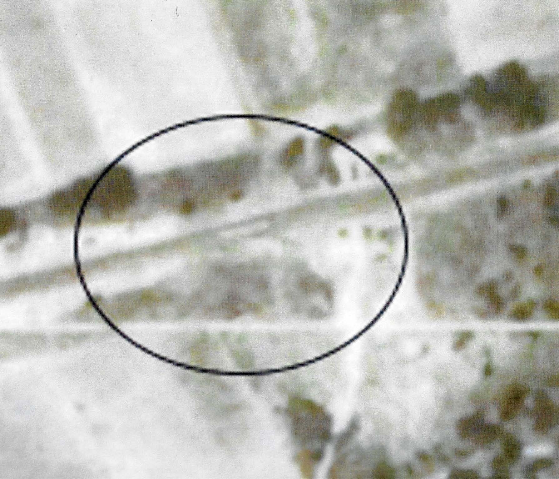
Check out the middle of the large ellipse. Just to the west of the Wheeler Farmway Bridge #1 is a line or structure in the middle of the Motor Parkway and possibly a building on the south side. This may be the elusive Hillside Avenue Lodge (ticket booth).
Another mystery is the rectangular structure or land in the circle just west of the Rocky Hill Road terminus. Any thoughts?
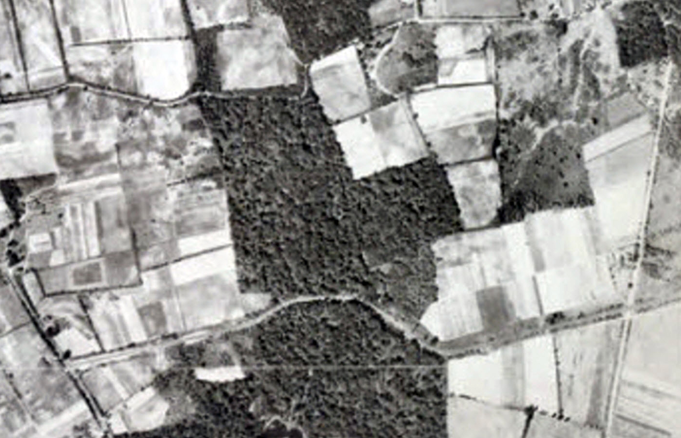
Map 15A West Queens
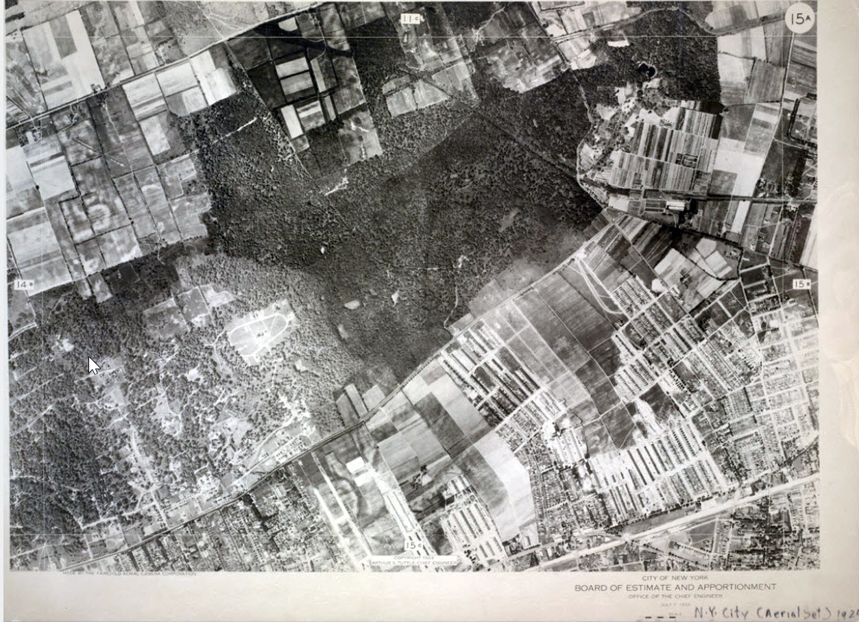
Motor Parkway can be seen in the upper right corner.
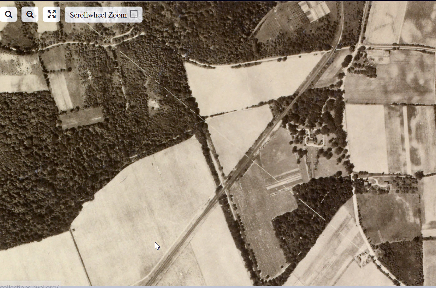
Map 11D
Map 11D East Queens and Lake Success
Winchester Boulevard to Marcus Avenue
Motor Parkway Bridges: Winchester Boulevard, Creedmoor and Commonwealth Boulevard
Motor Parkway Bridges: Vanderbilt Farmway and Marcus Avenue
Marcus Avenue Bridge and the Deepdale Estate
Map 11B
Motor Parkway can be seen in the lower right corner of this map.
The Lakeville Avenue Motor Parkway Bridge, the Great Neck Lodge and the entrance to the Great Neck Lodge from Lakeville Avenue.
The Smith Farmway Bridge can be seen to the right of the white farm land.
Manhattan
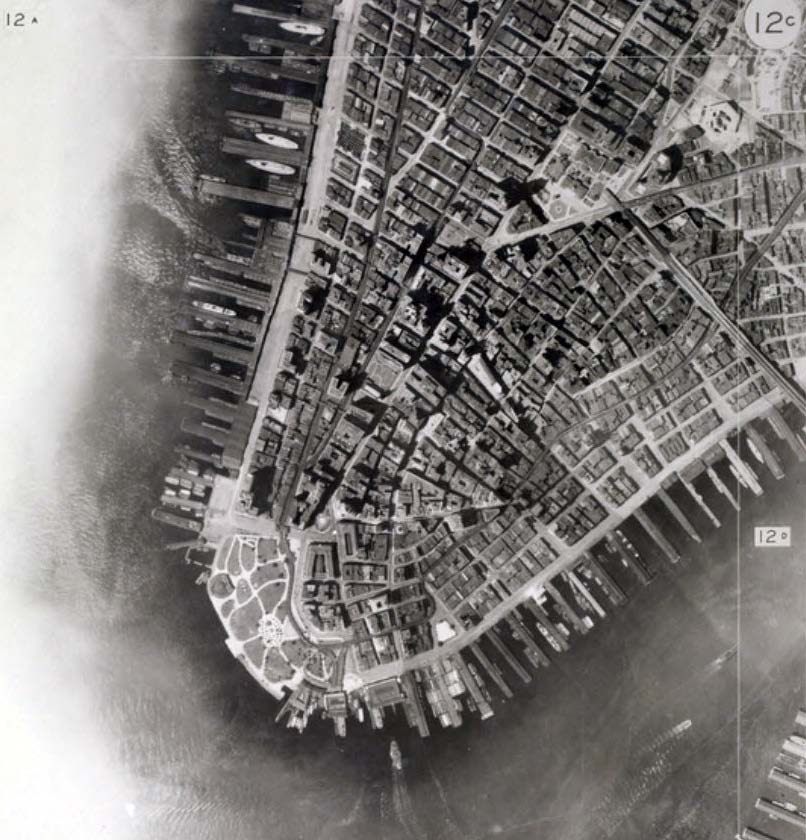
Brooklyn Bridge is far right
Brooklyn
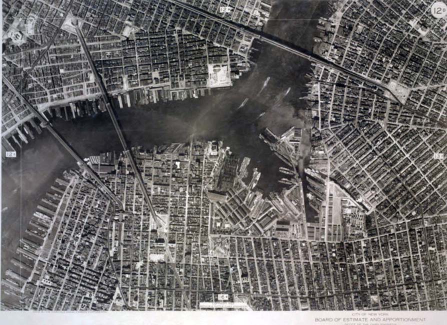
Brooklyn Bridge, Manhattan Bridge, and Williamsburg Bridge


Comments
David Stephan:
See Map 11C: I believe the slide shows a car that has just started eastbound on the Motor Pkwy. The dark rectangle below the white grid line.
You can clearly cars on Hillside Ave, and on the modern-day Braddock Ave (that forms a triangle with the modern-day Springfield Blvd.). Cars on Braddock enable me to match the scale of the dark rectangle.
Aerials on the library website are very clear, as good or better than the 1926 aerials of Nassau County LRV. Thinking the narrow white area on the parkway just w/o the farmway bridge is a temporary toll/kiosk, still enough room on each side for cars. Makes sense where it’s located ( before Rocky Hill Rd ). If a toll wasn’t collected here, they were sure to be stopped at the Great Neck Lodge. The area circled just w/o Rocky Hill Rd I’m not sure, maybe a ‘footprint’ showing the future extension of the LIMP : )
Great find David Stephan! The horizontal line may well be the Hillside lodge. Amazingly, the same approximate location of the future Rocky Hill lodge. The rectangular patch could’ve been a clearing to prevent obstruction of the Motor Parkway entrance sign below. LOVE the LIMP!
http://www.vanderbiltcupraces.com/blog/article/mystery_friday_foto_6_can_you_identify_this_motor_parkway_location
Also, could this be lodge keeper Sidney Jones’ home on the Right-of-Way?
The chimney was on the east side of the house, as in the aerial
In 1923 a toll booth was erected on the south side of the ROW 700 feet east of Rocky Hill Rd.