Mystery Photo #4 Solved: A 1928 Aerial of Old Bethpage and Melville Looking North
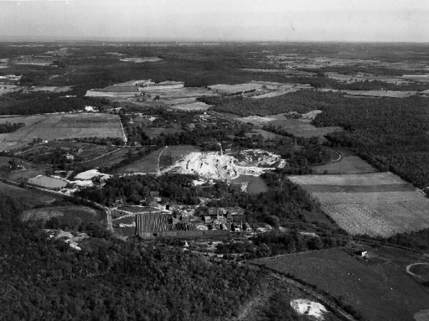
The fourth in our series of Friday mystery photos is a classic aerial of the Motor Parkway: Old Bethpage and Melville looking North.
Shot on October 27, 1928, the Claremont Avenue Motor Parkway Bridge can be seen in the background. Moreover, an abutment for Melville "Sands Pit" Motor Parkway Bridge (before it was a sandpit) is also visible.
Congratulations to Brian McCarthy, Greg and Frank Femenias for solving the mystery photo. Brian and Frank have correctly identified three of the four Mystery photos.
Enjoy,
Howard Kroplick
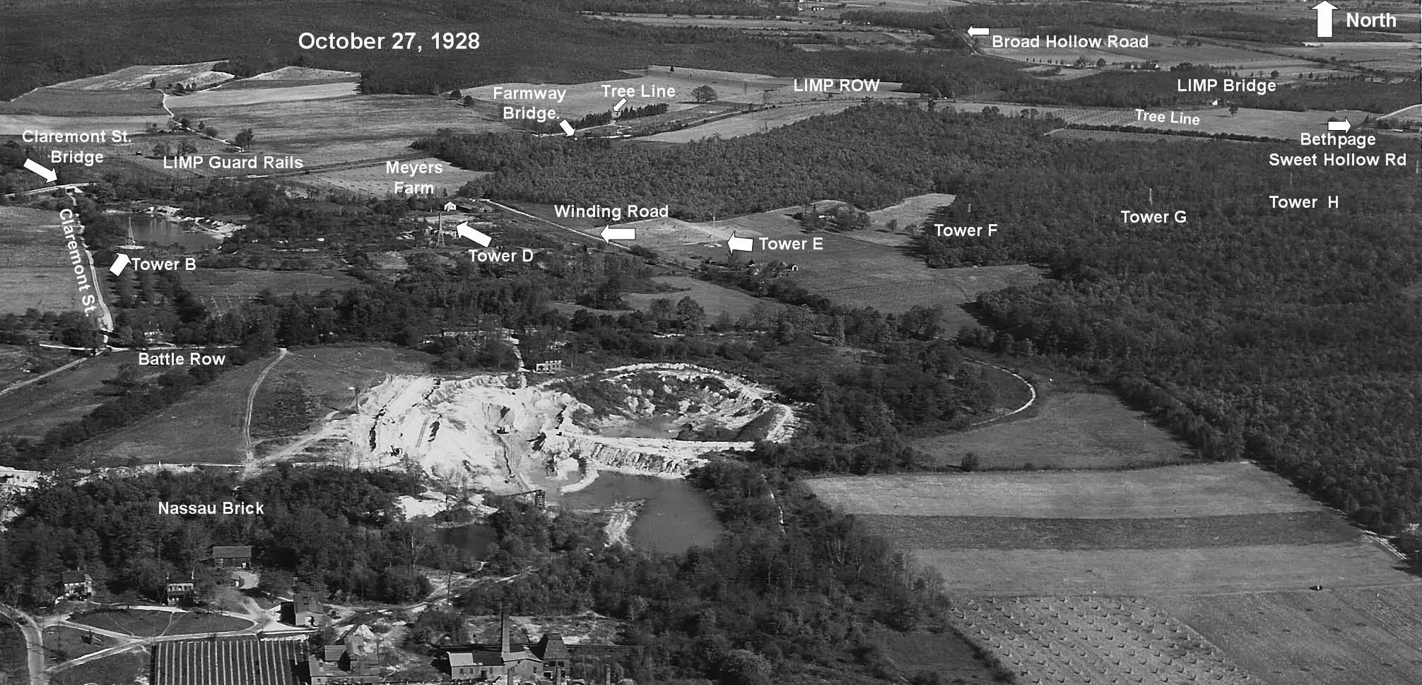 The aerial with captions.
 The best known view of the Claremont Avenue Motor Parkway Bridge.
 An abutment for the Melville "Sands Pit" Motor Parkway Bridge.
 The curve of the Motor Parkway as it turns south.
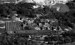 The Nassau Brick Company now operating as a concrete mix plant for Seville Central Mix Corporation.
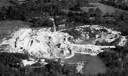 The sandpit for the brick company.
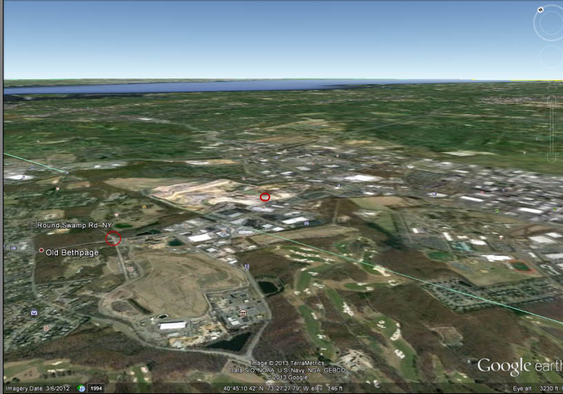 A Google Earth view matching the 1928 aerial with the location of the two bridges. Note the green line dividing Nassau and Suffolk Counties.
Long Island Motor Parkway Preservation Society Meeting-February 28, 2013
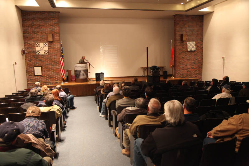 A wonderful meeting of the Long Island Motor Parkway Preservation Society was held on Thursday at Old Bethpage Village Restoration.
 Historian Bob Miller, the "champion of the parkway", gave a wonderful presentation of "The Long Island Motor Parkway: A Trip Back in Time".
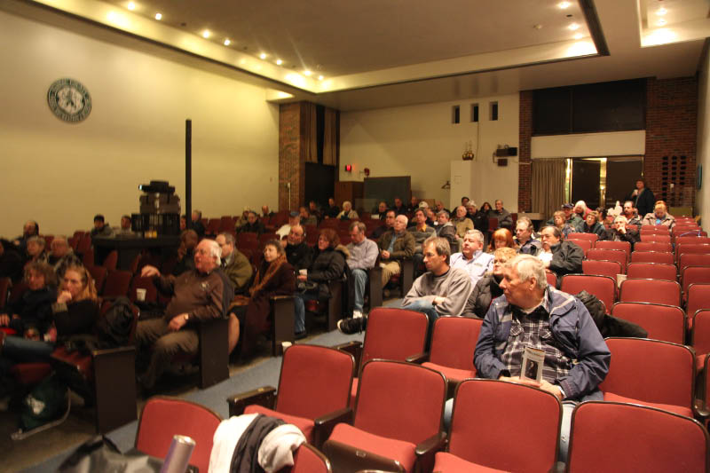 Over 65 people enjoyed Bob's insight and unique slides of America's first parkway.


Comments
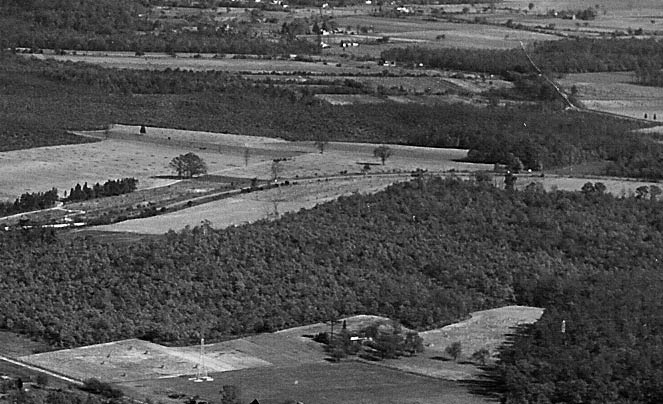
Okay. This 1930 something photo is in Bethpage. The road extending from the bottom right towards the middle left is Round Swamp Rd. (The brick yard is east of the curve ). The LIMP is in the upper part of the photo, with the bridge over Claremont Rd in the near distance.
It clearly does not match other 1928 & 1950 aerials of the Melville area you’ve posted, but I keep going back to it possibly being the Melville sand pits. Even Spagnoli Rd has a similar bend in the road, but again, other landmarks, dates for the pits and other things in the photo are wrong for that area. Darn it! I’m stumped!
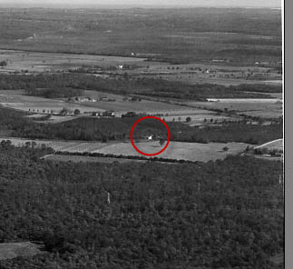
Tough one! My best guess for #4 mystery photo is Old Bethpage Village in the center and under construction. Not sure which year that happened. Photo is facing NW. The road at the bottom if correct would be the original Spagnoli Rd. Broad Hollow Rd 110 would be off the photo at the bottom right and the Melville sand pits at bottom right. I can’t see the motor pkwy bridge but would have to be Old Bethpage parkway br that was wonderfully restored by Howard and the LIMPPS and others. What is that structure in the center?
In the W.C. Fieds Movie, Is that the door or the big window on the building, Because I can not make it out from that picture and it will make a differents in north and south east and west and I don’t see a little piece of the port-cochere sticking out when he crashes threw the fence also. Keep up the good work Joseph(motorpky)DeBono
Robert Miller away puts on a great slide show, I’m glad he showed the surve map of eastern suffork between wading river and riverhead. Remember I showed photo’s I took many year ago of the markers (telephone poles) where the road would of gone to riverhead Keep up the great job Joseph(motorpky)DeBono Keep the momory alive
WooHoo! My third correct map guess also! Keep ‘em coming!
Also, Howard, awesome presentation by Robert Miller the other night. It was great seeing his personal photos since most of them have never been seen before! After seeing thousands of photos from either 100 years ago, or today, It’s nice to have seen them from the 60’s or from time periods when there aren’t many photographs.