Mystery Photo Solved #3: The 1908 Vanderbilt Cup Race on Ellison Road (Avenue) in Westbury

Last Friday's mystery photos of the 1908 Vanderbilt Cup Race were courtesy of the Witmer Photograph Collection of the Cow Neck Peninsula Historical Society in Port Washington.
Although the exact location of the photos is unknown, I am 95% sure where the photos were taken.
Congratulations to Frank Femenias who I believe also solved the mystery location: Ellison Avenue just south of Jericho Turnpike in Westbury.
Documentation is below.
Enjoy,
Howard Kroplick
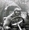
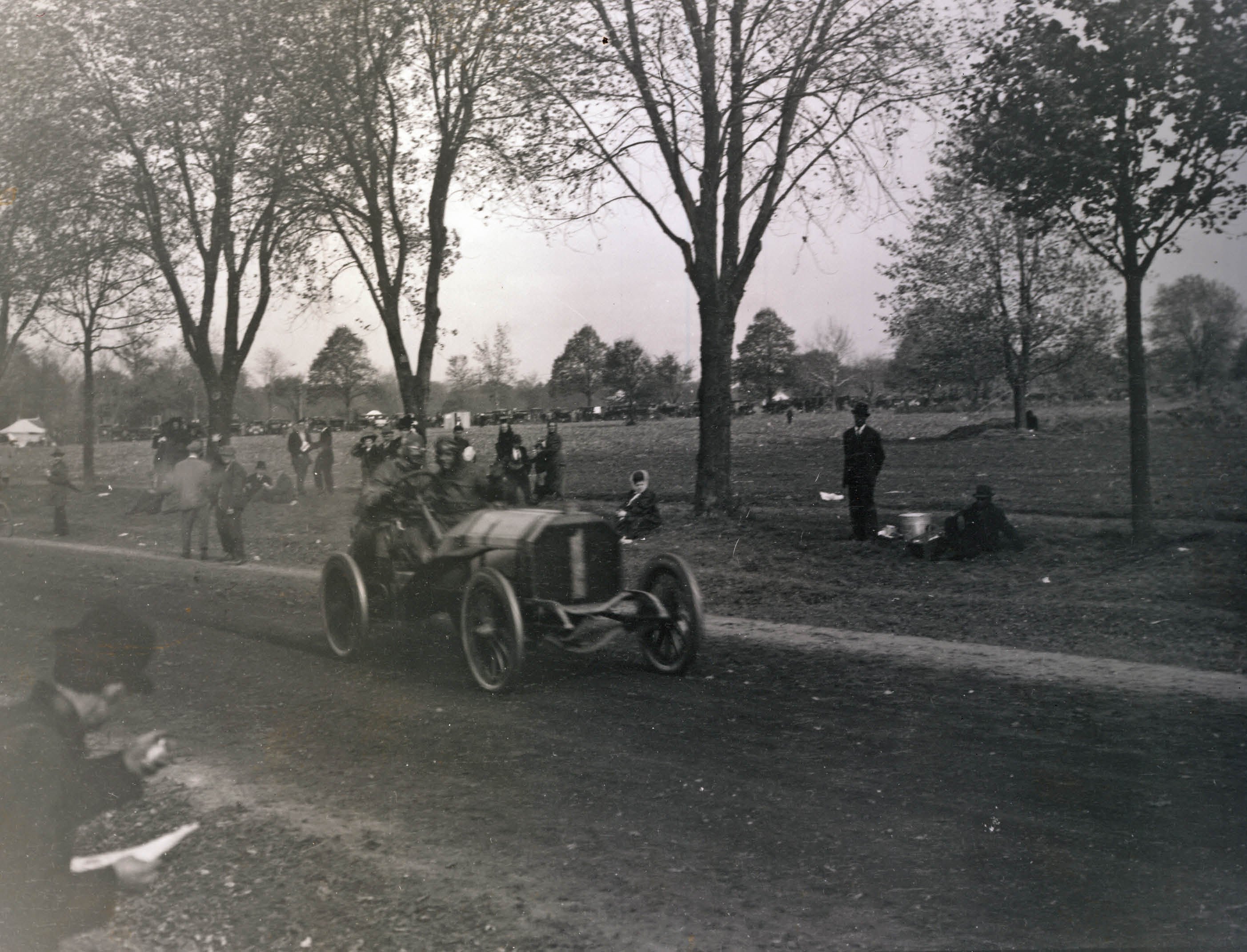 #1 Locomobile driven by Joe Florida
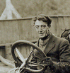
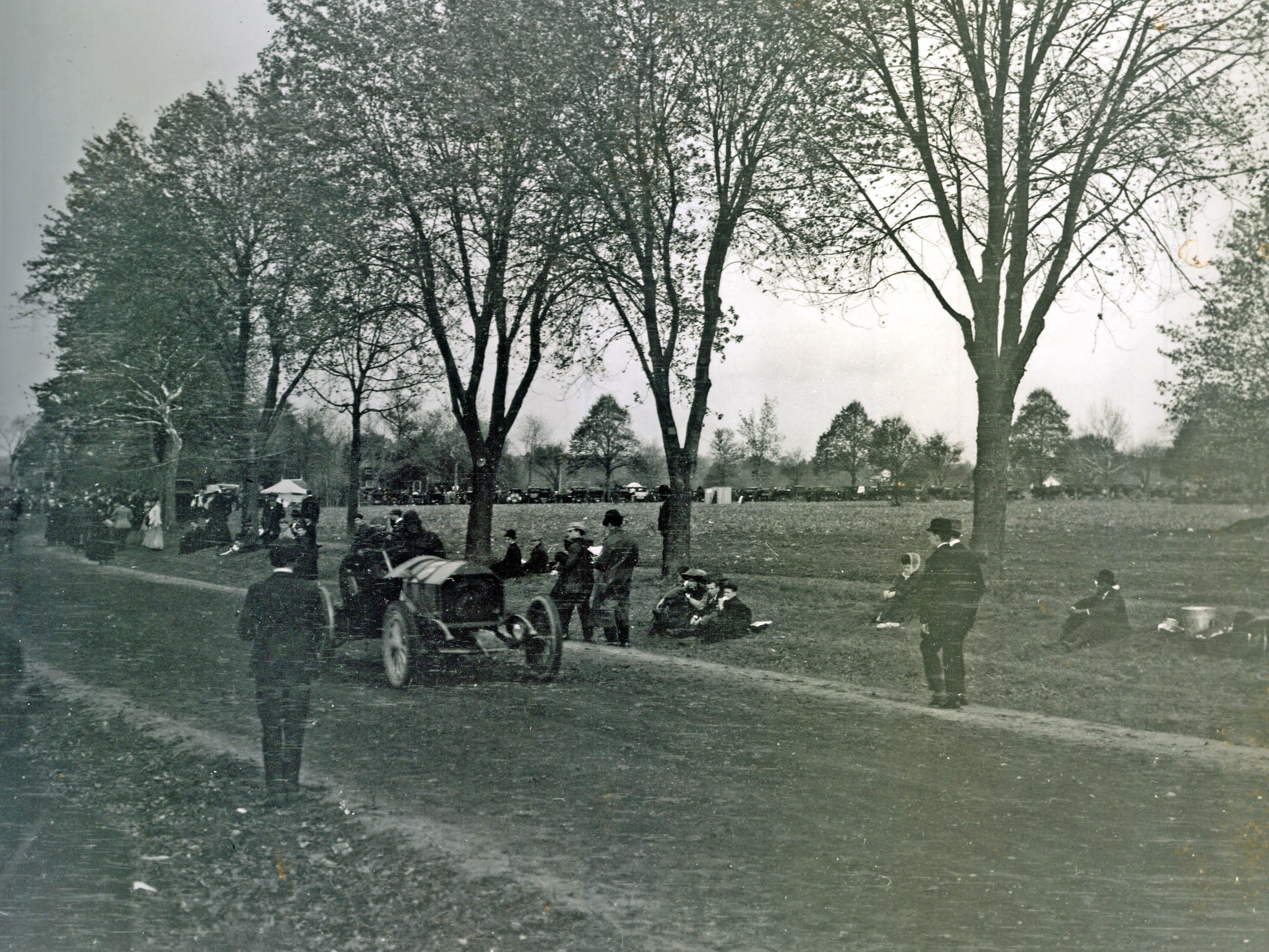 #2 Knox driven by Al Denison
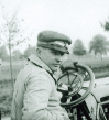
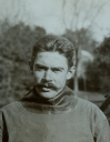
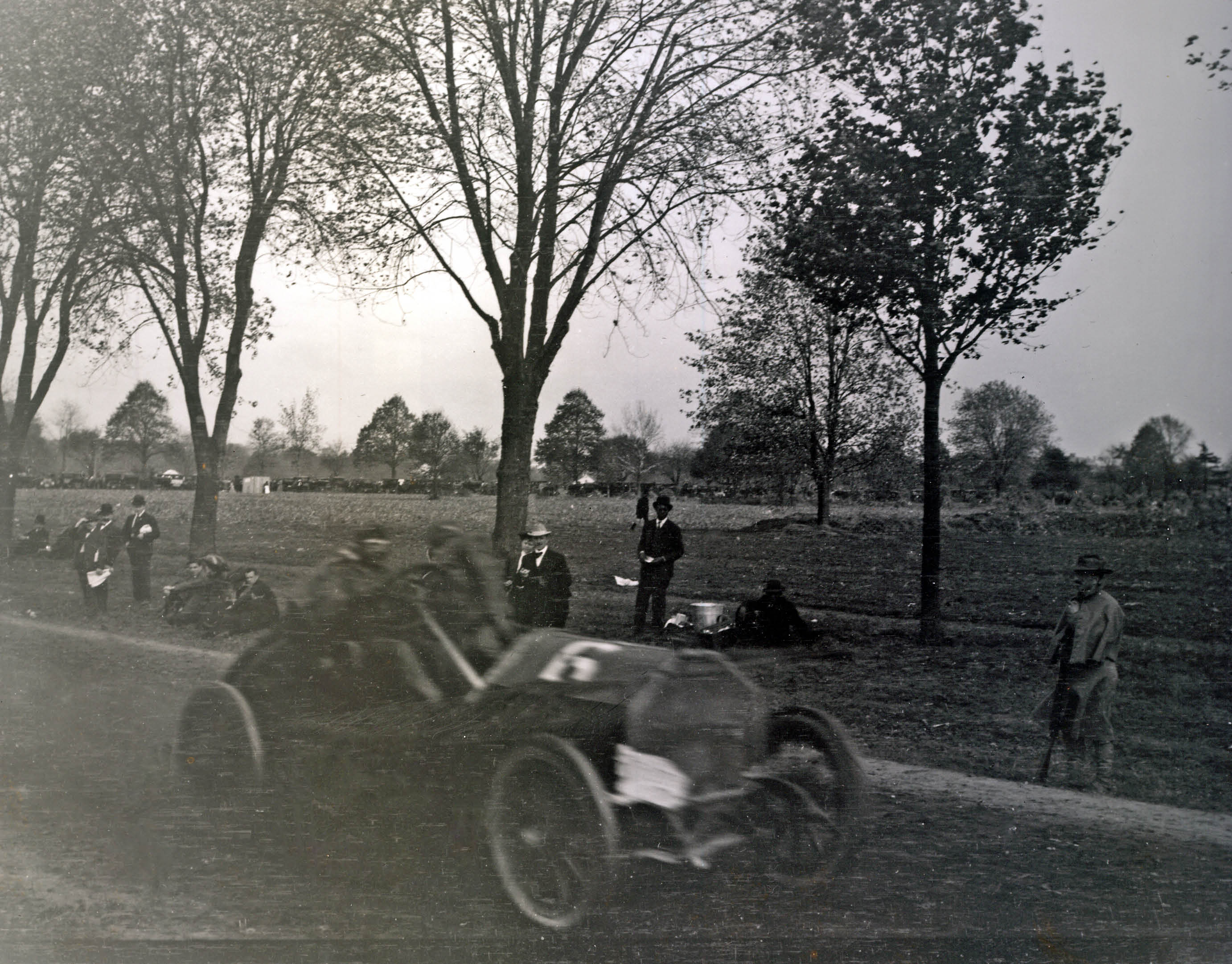 #6 Isotta driven by Herb Lytle
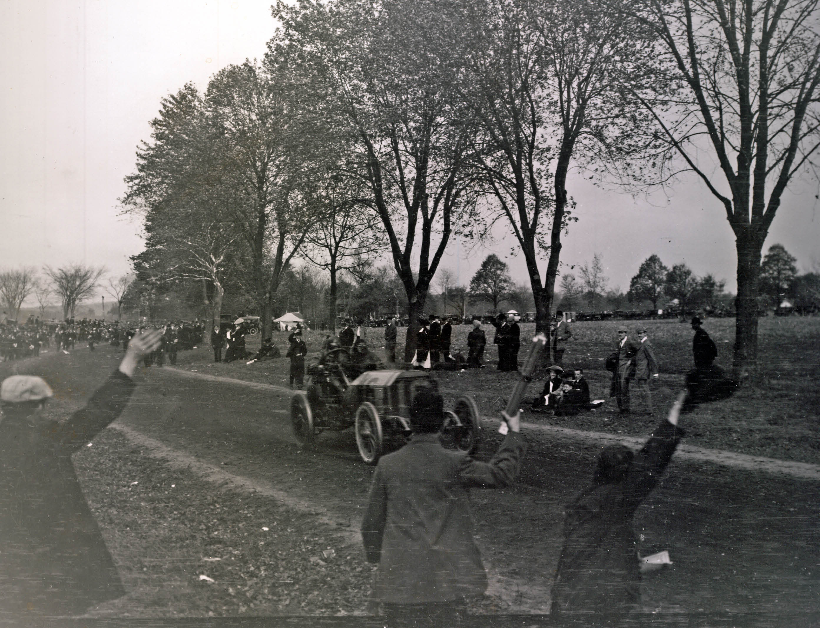 Winner #16 Locomobile driven by George Robertson
Update Hint: Now- February 24, 2013
As suggested by Mike LaBarbera, below is a "now" image of where I believe the above photos were taken in 1908
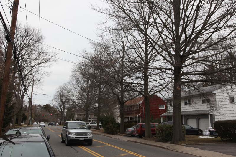 View on Ellison Avenue looking north towards Jericho Turnpike. The spacing of the trees match the 1908 photos.
Documentation
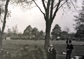
 All of the location hints are provided in the 1908 photo of "Old 16 Locomobile, the eventual winner of the race.
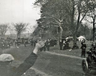 A close-up of the background on the left shows a larger number of spectators, indicating a curve on the course.
 A building can be seen near the curve.
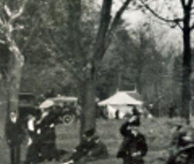
 A close-up of the background in the middle and right shows a line of cars and spectators...verifying the likelihood that the four photos were taken after a left turn on the course.
1908 Course
 There were six left turns on the 1908 course; the Westbury Turn (JerichoTurnpike/Ellison Road), Meadow Brook Lodge Turn, Massapequa-Hicksville Turn, Bethpage Road Turn, the Woodbury Turn and the Hamlet of Jericho Turn. However, only the Westbury Turn matches the terrain of the four 1908 photos.
Photos at the Westbury Turn
Photos of other racers making the left turn from Jericho Turnpike on to Ellison Road provide further evidence of the location of the four photos.
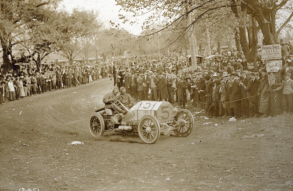 Luttgen's #5 Mercedes
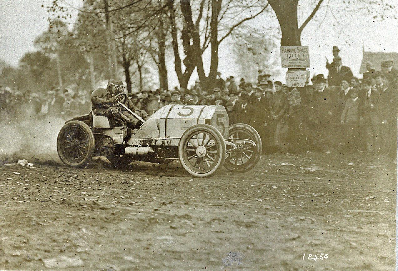 Another view of Luttgen's #5 Mercedes
 Check out the building on the right. It matches the structure seen in the "Old 16" photo.
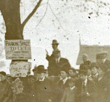
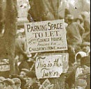 Note someone placed a "This is the Turn" sign over an Almond Tire sign during the race.
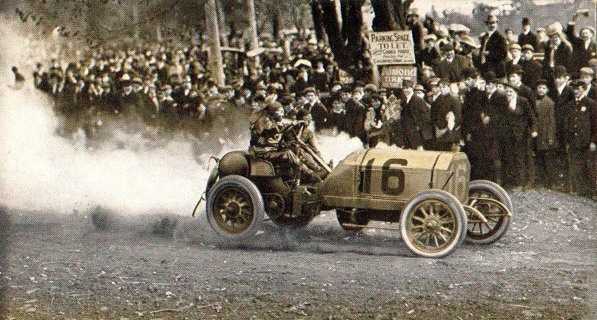 Old 16 in front of Almond Tire sign.
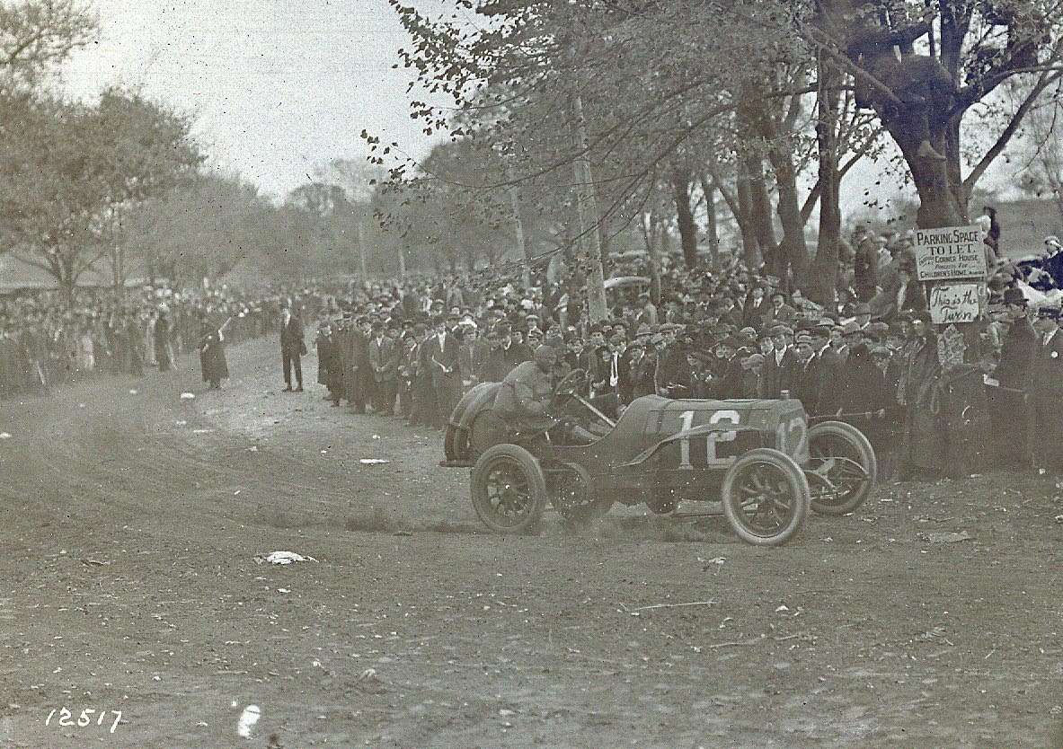 The #12 Thomas driven by Saltzman
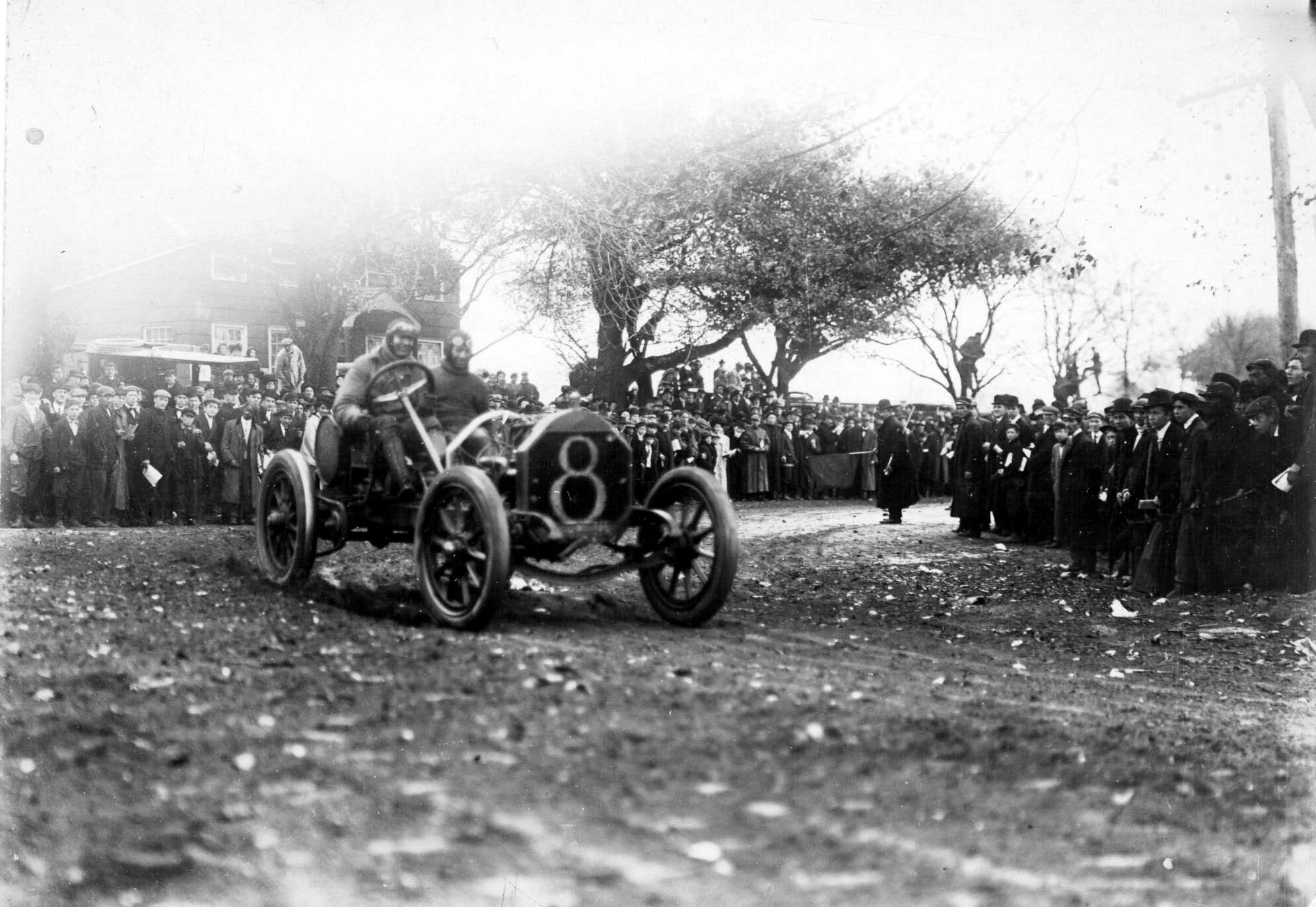 The #8 Thomas driven by Seymour
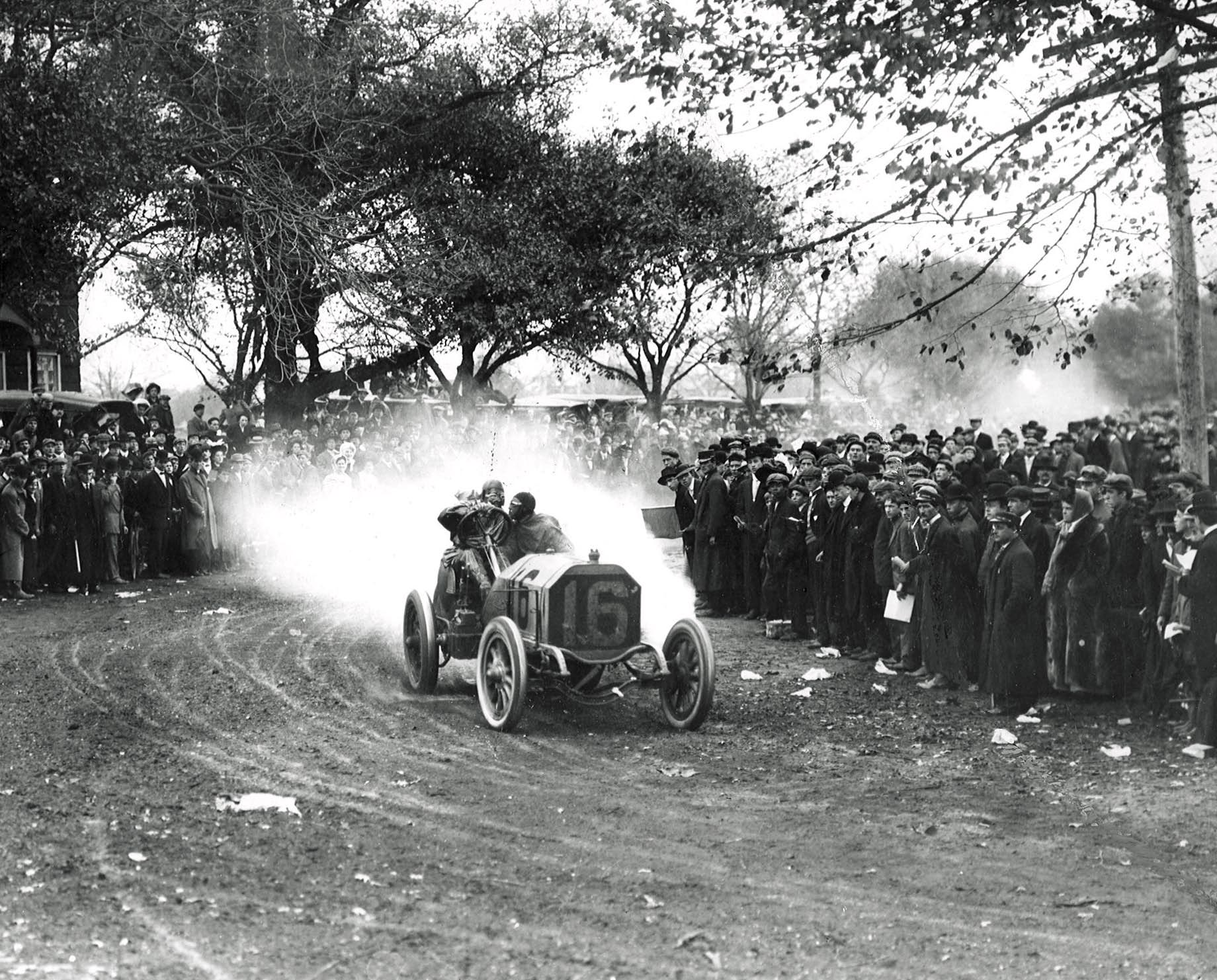 A spectacular photo of the Old 16 Locomobile driven by George Robertson at the Westbury Turn. Finally, this was the closest location to view the race if the photographer traveled from Port Washington.


Comments
This one is a challenge. I could not find many clues. I say it is not the motor parkway, which eliminates almost half the course. The only bend on Northern Blvd includes a railroad crossing, so that is not it either. At the top of Woodbury Ave the land does not seem as flat as the picture. So I am saying it is not there either. I suspect the picture is just north of the modern day Old Country Rd on Manetto Hill Road.
It looks like it may be Salsbury Park Dr. in East Meadow heading east toasted the finish line in what is now Levittown.
The width of this road is comparable to the LIMP in this time period ( 16 ft ) . The road curves in the background. And the surrounding area looks neat, manicured. I’m only guessing once, and I think this running through Salisbury Golf Course; furthest east section. I don’t see guardrails. Guardrails and boundary posts were probably installed after the entire LIMP was constructed. There was likely a lower speed limit in the golf course areas anyway, when the cup races stopped of course.
Hi it would be interesting to see a yesterday / today view for comparison. Mike
What fun! The “now” photo is on Ellison Ave and Woodcock Road just south of Jericho Tpke in Westbury. If this is the correct location it would have to be about 500 feet south of here, closer to Ellison Ave and Robin Road where the curve in the road is, as seen in the 1908 picture with George Robertson driving the #16 Locomobile. The photographer seems to have no significant location as he/she is only slightly elevated off the ground a few feet, and is on the side of the road that is not the LIMP. There are other possibilities on the course like Manetto Hill Rd in Plainview between Library Lane and Washington Ave in either north or south direction. Also Woodbury Rd between Jericho Tpke and Bristol Dr heading south. Westbury would also be my best guess for the photos location considering most spectators would crowd the western end of the course first because traveling around in those days was hard. Based on the size of the crowd and all the vehicles parked alongside Jericho Tpke to the north (the main road), Westbury sounds good to me. I look forward to see what other clues there were that I missed. Happy Motoring.
Man, I was way off with this one.
Awesome pictures Howard. If the spectators had only realized what danger they were in standing by the roadside like that. The young kid watching the race from behind the tree at the corner seems to be the wisest one. :D
As always,great pictures and explanatoin of them. As I saw there wasn’t much change from 1908 till now,except for sidewalks and houses. That was some sharp turn. By the way Howard,I’ll be at the Old Bethpage Restoration on Thursday nite.hope to see you for another nite of histoy in the making