Kleiner’s Kolumn: Investigating a Lost Road in Bethpage
As a follow-up to the record-breaking discussion of the Bethpage section of the Monday Parkway, Art Kleiner has researched relevant surveys, maps and aerials in my collection and discovered these gems.
Enjoy,
Howard Kroplick
Kleiner's Korner: Pine Street or No Pine Street
By Art Kleiner
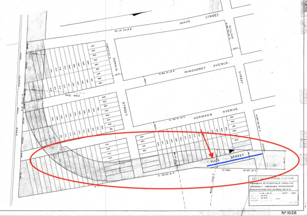
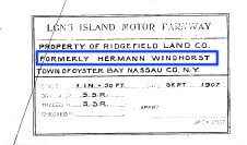
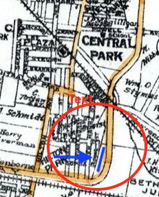
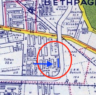
Since I've been investigating the Motor Parkway, one question I've had pertaining to Deadman's Curve is whether a street named Pine Street ever existed. Through the years, some maps show it while others don't. When it is shown its shown as being the last street before the Parkway veers north towards Central Avenue and only existed between Sofia and William Streets. I've always thought this was a street that was planned by the housing developers but never actually built. Looking at a September 1907 survey of the area, I have to concede that it was on the books way before the homes were actually built. Whether it existed at one time or not, I'm hoping someone with more knowledge can come forward and answer. What do you think?

1907 Survey of Deadman's Curve clearly shows the Motor Parkway being planned to go right over Pine Street.
Interestingly, the whole area was owned by Hermann Windhorst, whose first and last names are major streets leading to Deadman's Curve.
1914
1926
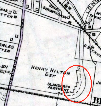
Pine Street is shown on this 1927 map.
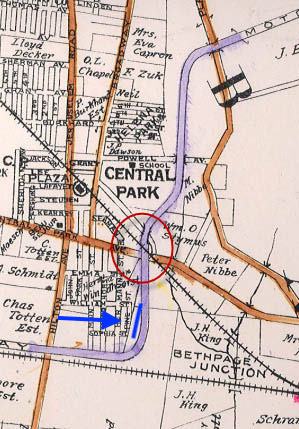
And shown on the 1938 map.
1938 - Is it here?
But not here on this 1939 map.
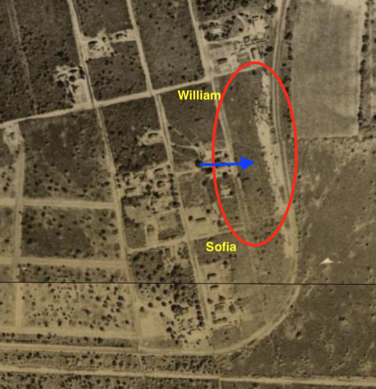
Here in 1946.
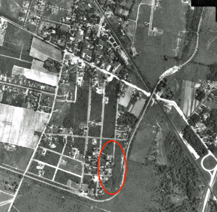
Two Photos of the location today
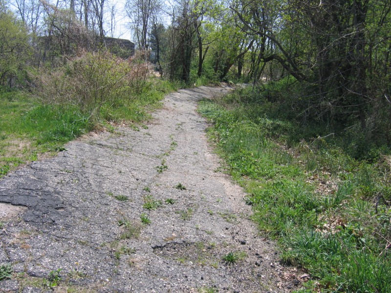
Looking south
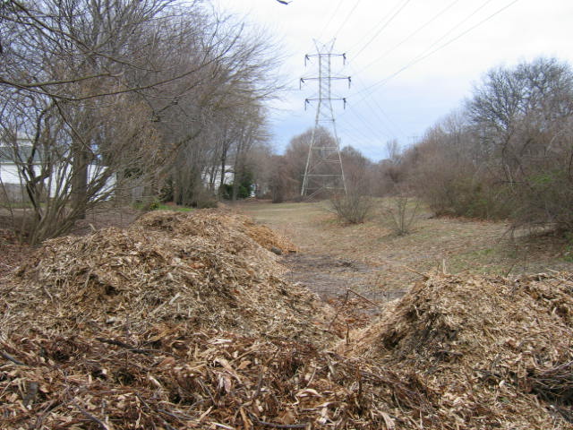
Looking north


Comments
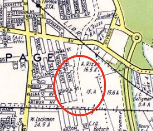
Great find Art. Looking at the 1907 survey, Windhorst Av., Hermann Av., and Pine St. appear equally spaced, so I measured them to be 250’ apart. That puts a tiny corner of Pine Street’s west side to just clear the LIMP roadway at Hermann Av. Not sure but I think this corner was destroyed when building the LIMP. A street view photo shows a Camaro blocking the view. This will require a personal visit for any remnants.
Interesting…At least see a path on the 1938 aerial, but more so on the 1927 map. Thinking where Pine was became part of the LIMP ROW. Fairly sure there’s boundary posts in line here on the west side along the property lines?
I was driving right by this area today so I had to stop and see if there were any remnants of this road. Nothing is obvious. See pics. That driveway (looking north from Sophia street) seems like the location the road should be in based on the maps. Maybe another “level” of house was added east to the road. Long Island is pretty famous for maximizing their property space (and subsequent tax dollars!)
Of course I had to poke on the other side of the fence to find a nice line of friendly posts waiting to say hello 😊
Poking my head on to the LIMP here one thing that was obvious is This area is a lot more overgrown then it has been in he past. The weeds, thickets, etc are really thick. It doesn’t seem like LIPA really maintains this section at all.
I walked over to the LIMP from sophia street, notice the vegetation. It never was this bad. First pic is looking north, second looking south.
PSEG is utilizing drones to inspect their transmission circuits on ROW’s & RR tracks, Dave. Nifty way of inspecting, but it takes away the patrol truck from flattening the brush and maintaining a wider path. Maybe the drones don’t look down ? Used to joke that I should be driving a Sherman Tank instead of a truck!