Sam & Dave’s “Excellent 2019 Vanderbilt Day”- #9 East Meadow and Levittown
In the ninth post of the series, the father and son team of Sammy and Dave Russo explored the Motor Parkway section of my childhood hometowns East Meadow and Levittown.
Enjoy,
Howard Kroplick
2019 Vanderbilt Day
March 30, 2019
Dave Russo :
So we did it yesterday. After a one year hiatus, Sam and I resumed our annual Vanderbilt Day tradition.
What better starting point than the Deepdale Mansion in Lake Success, William K. Vanderbilt, Jr.'s residence in the early 1900s. The home is still standing, just steps off of the Motor Parkway. I'm sure not by coincidence.
Moving west to east as always, we traveled 18 miles by bike from Lake Success to the Maxess Road Bridge in Melville We had a great time!
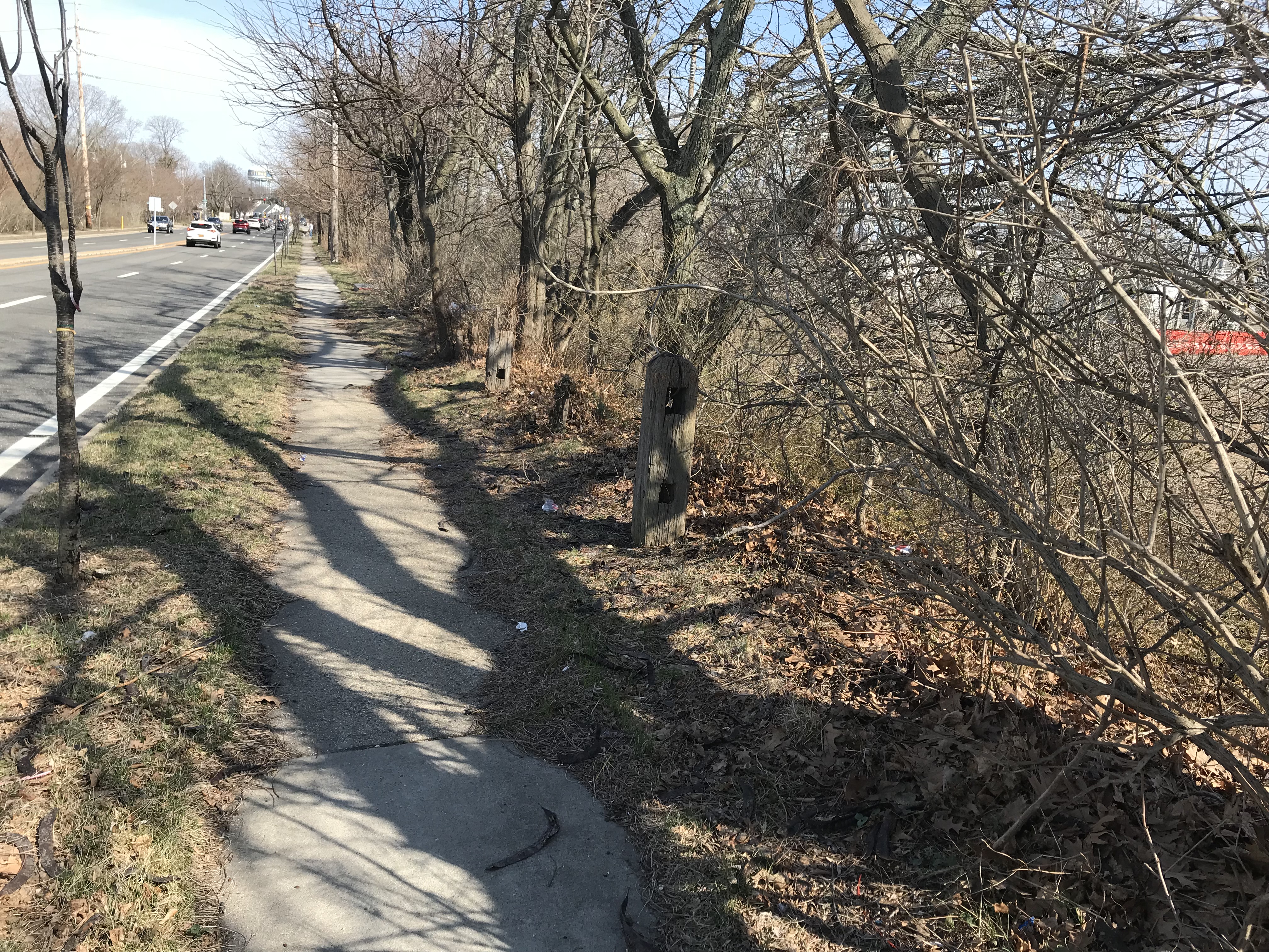
Dave Russo: Not much to see from Raymond Court location eastward - we've discussed behind Stewart Ave location many times and we've been back there many times and not much going on---there are other location that might be worth looking into but we are limited in time and have to keep moving so we also skip the toll lodge location on Merrick Ave - go through Eisenhower Park and end up on Salisbury Park Drive continuing.
Leading up to the Wantagh Parkway - there is pavement underneath here.
Former bridge location
Wood posts that align the bridge - I'm skeptical that these are LIMP posts as these exact same old wood posts exist on other bridges that cross the Wantagh
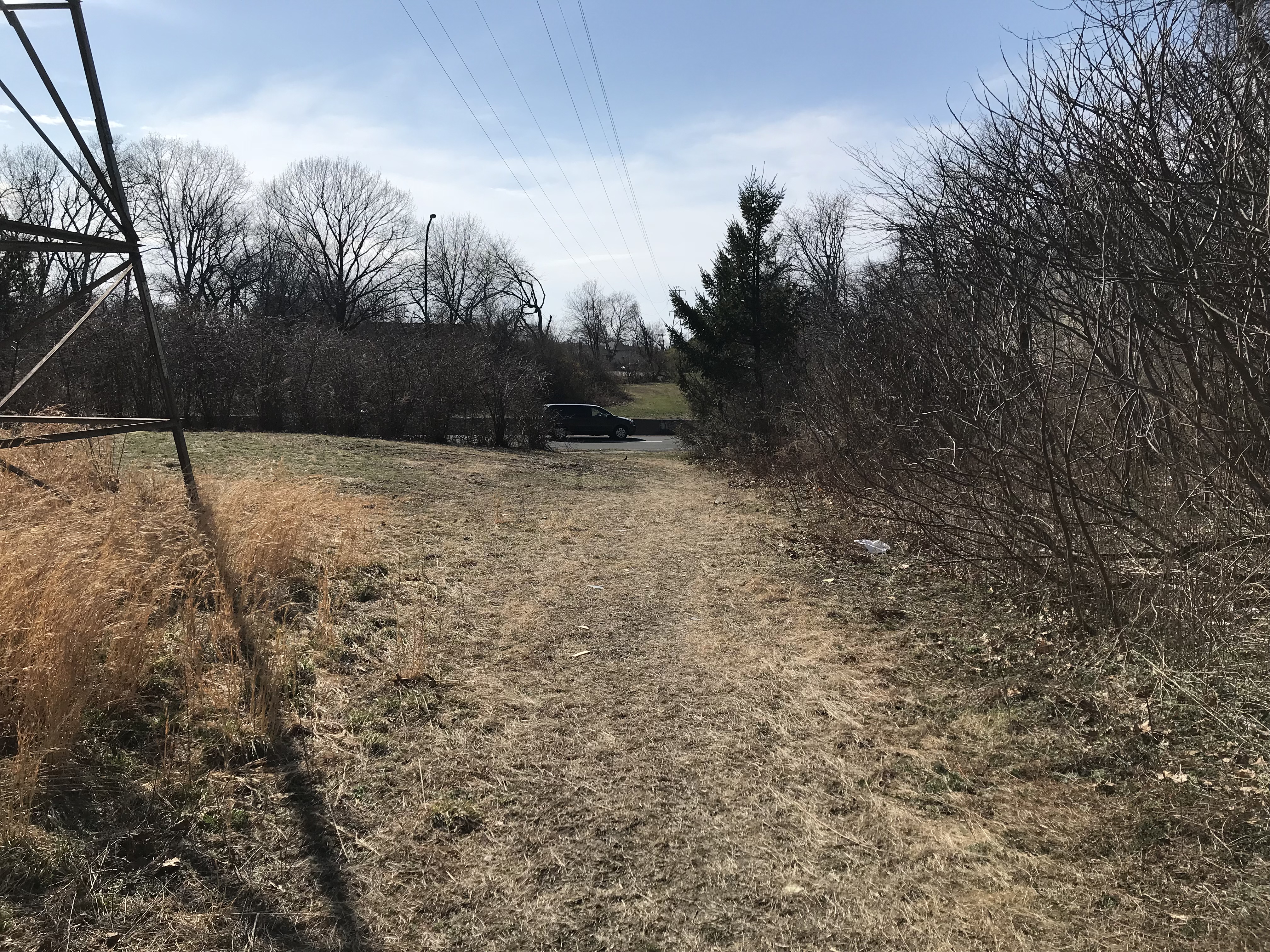
On the east side of the Wantagh Parkway now looking east
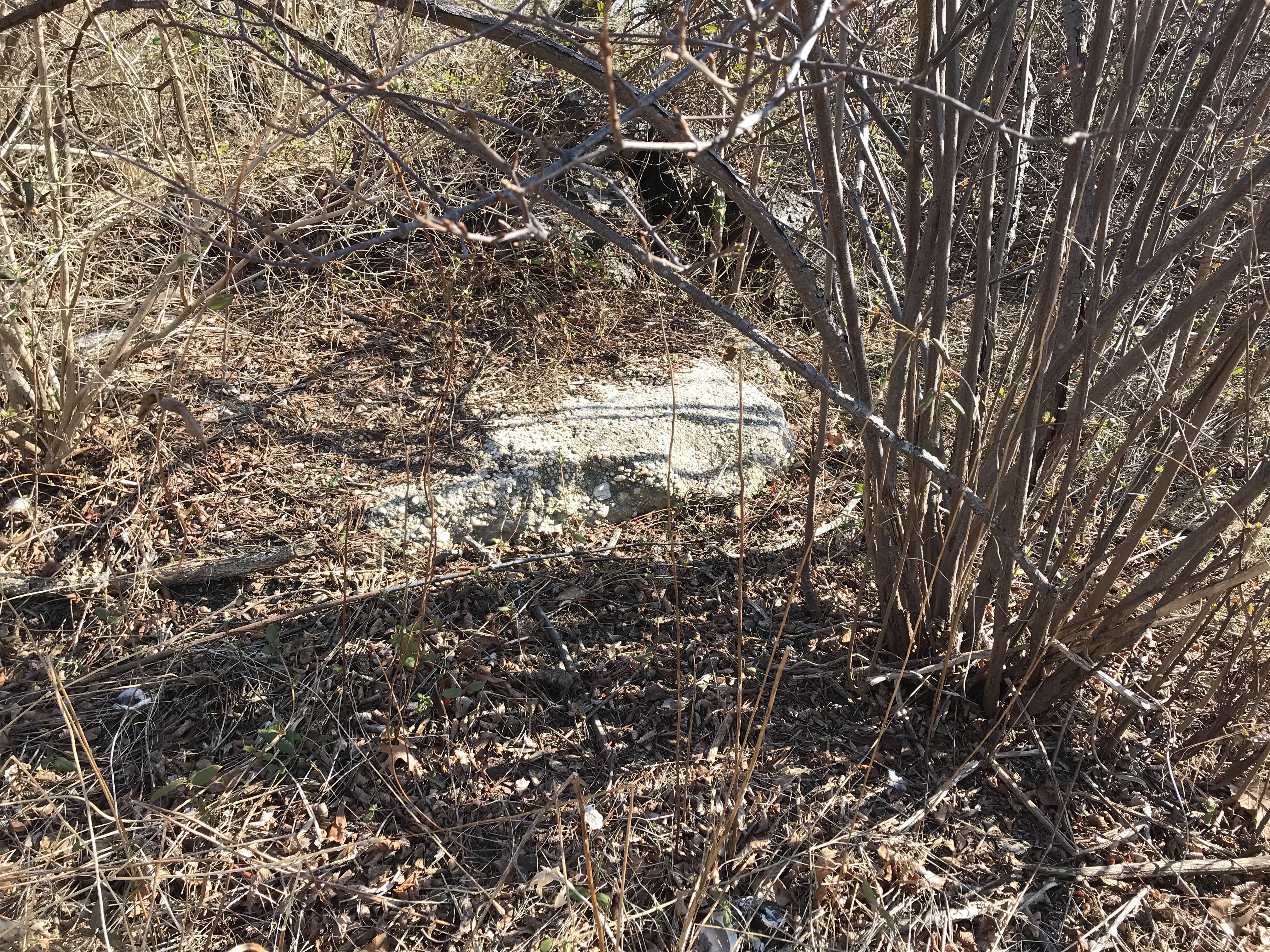
Fragment
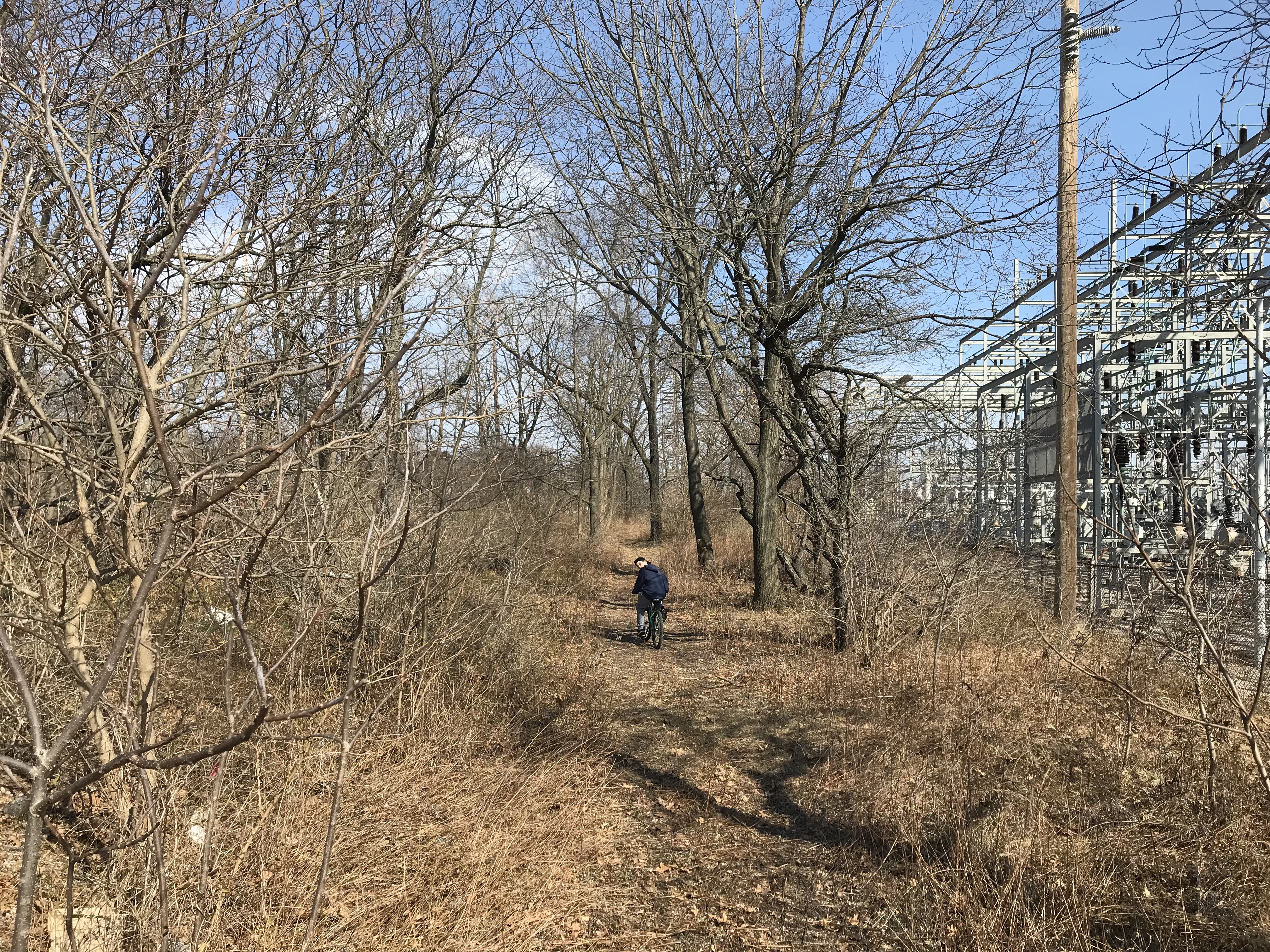
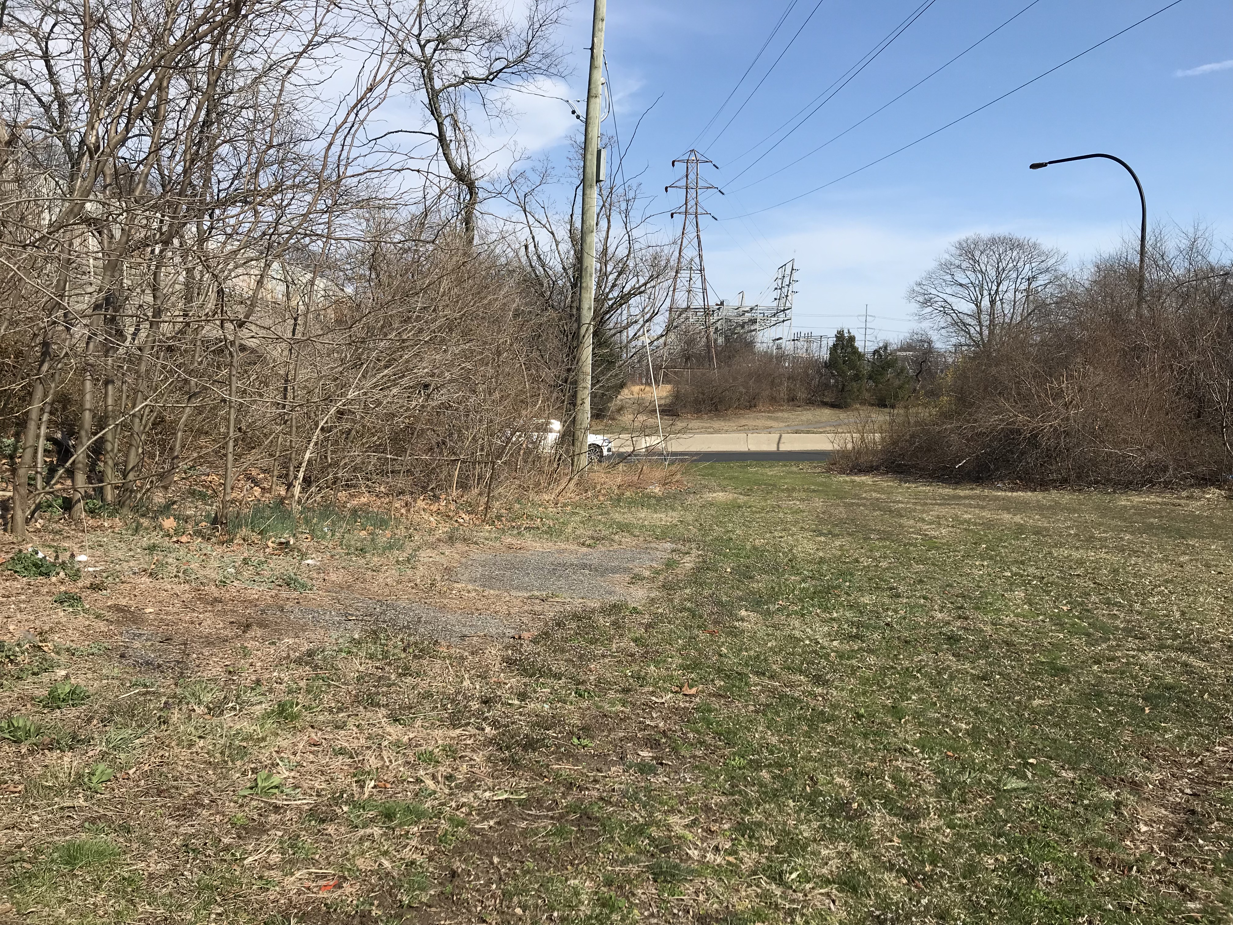
ROW
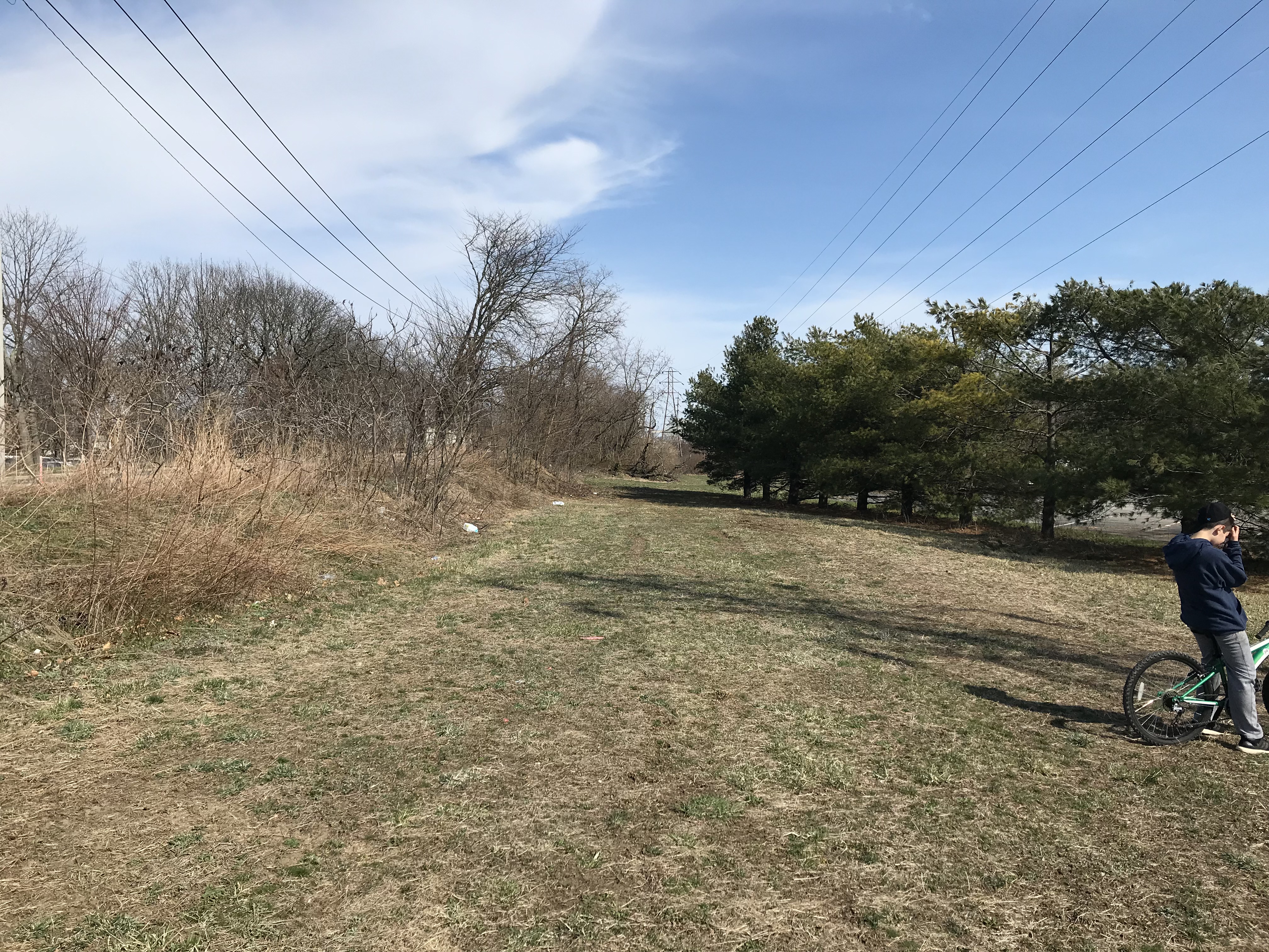
Moving ahead....
In Levittown now on Heron Lane looking east
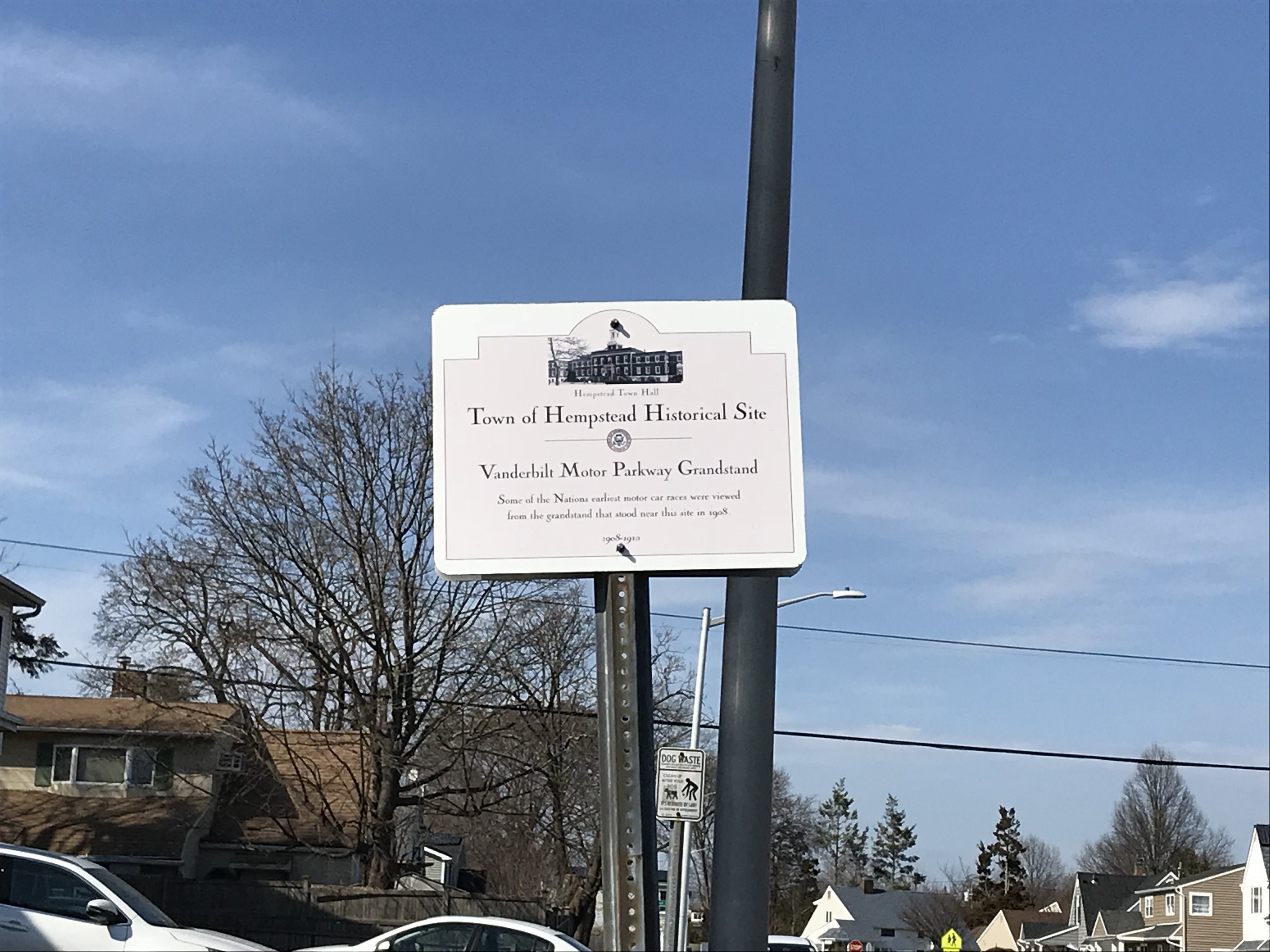
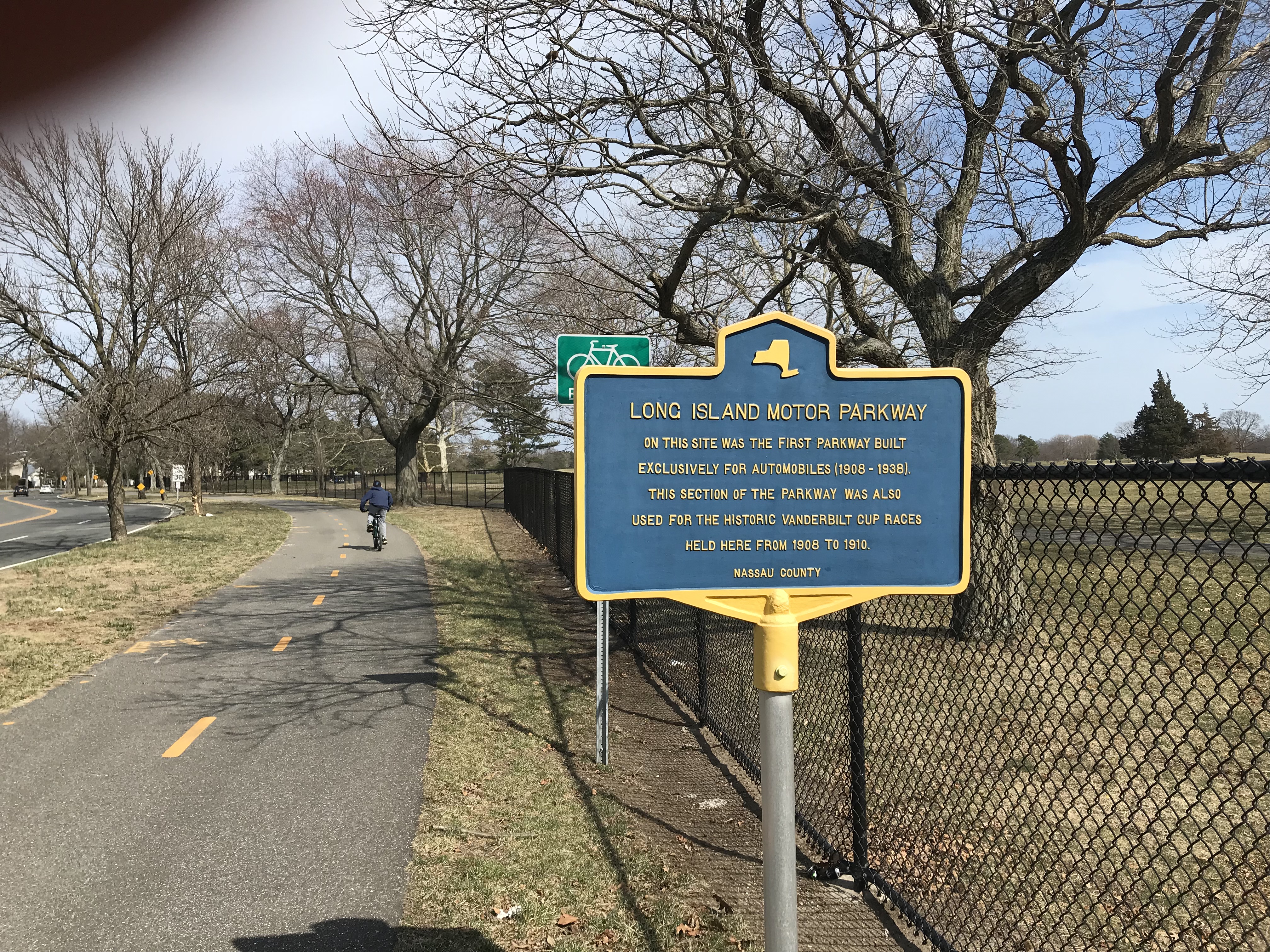
New historical marker that replaced one all covered up with weeds is not very visible but nonetheless, nobody knows about this location
Historical marker that used to be all covered up with weeds is not very visible but nonetheless, nobody knows about this location
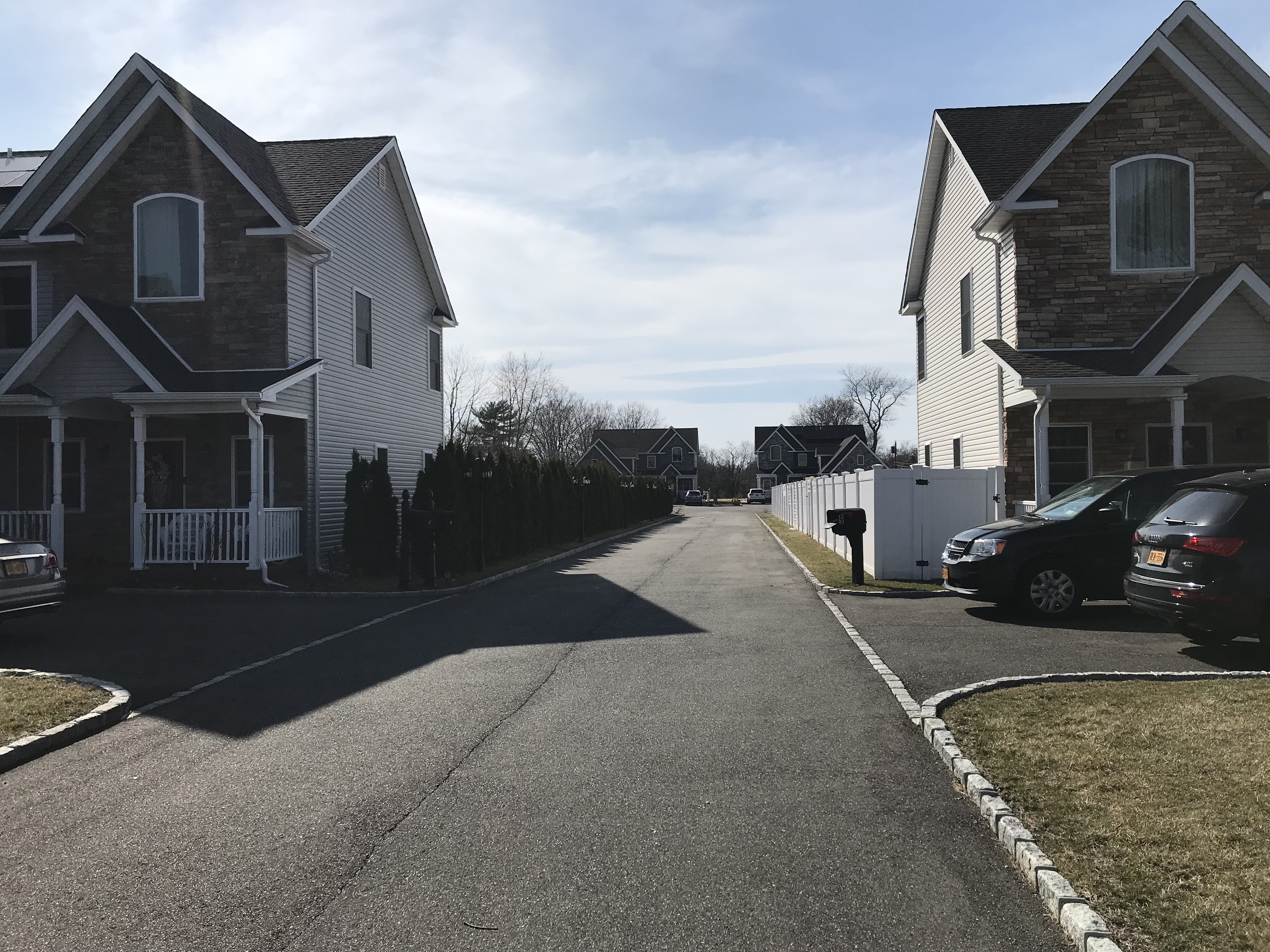
New homes on the grandstand location are completely built/done /inhabited and the residents were looking at us like we were criminals as we drove down this roadway. The backyards are all developed now where the exact location of the grandstand was - someone installed a full court basketball court there, too bad tens of thousands of people can't be sitting right next to them watching the game! This piece of Long Island history is forever lost.

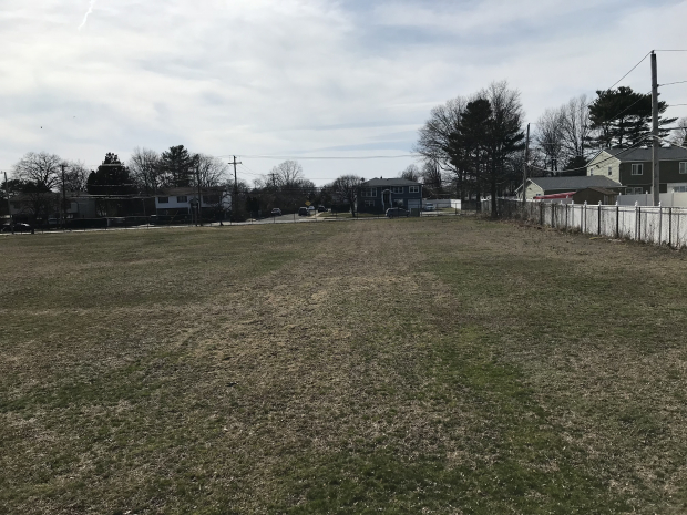
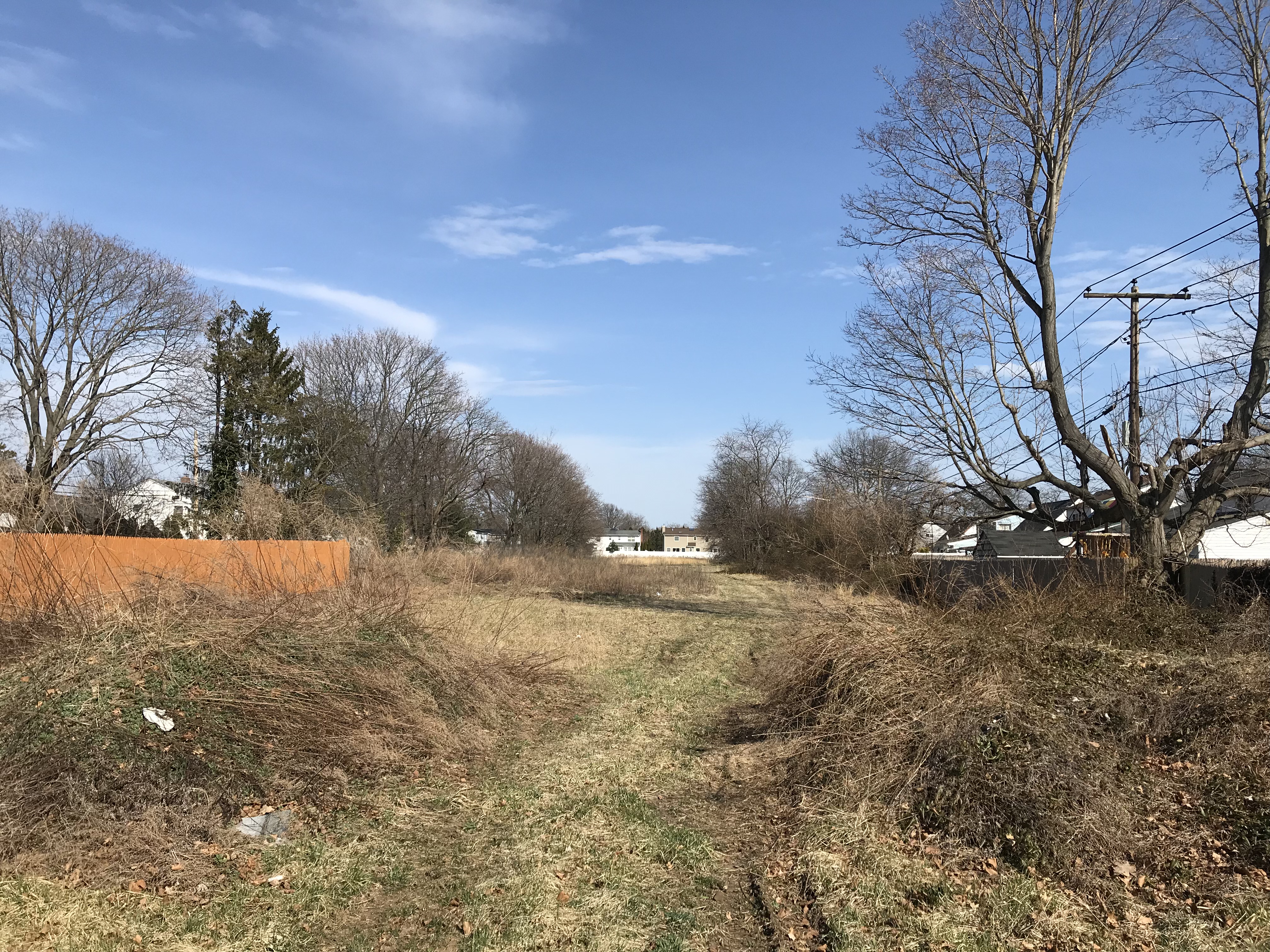
Just east of Jerusalem Ave there is a baseball fields called Polaris field - and we uncovered actual LIMP on previous journeys here but this is a neat pic sitting on top of a fence looking west and you can see the entire LIMP shaded under the grass, it's all there.


Comments
Dave and Sam, always love your explorations and observations along the old LIMP. Your discoveries help assist in locating the actual roadway and its structures, and any changes to the roadway up to this current point. Your contributions are always most appreciated. In regard to “Leading up to the Wantagh Parkway - there is pavement underneath here”, I believe at this point, you guys were just over the Central Railroad RoW (CRR), with the LIMP RoW approx 60’ just north, on the eastbound lanes of Salisbury Park Drive. That’s my thoughts. I could be wrong.
Can someone help me out: Where is the precise location/directions to Willie K.‘s Deepdale Mansion? Is it approachable by car? Who owns it today and how is it purposed? Does anyone have a link to present-day photos of the mansion? Thanks!
_______________________________________________
Howard Kroplick
Here is a link to a current view: http://www.vanderbiltcupraces.com/index.php/blog/article/mystery_friday_foto_20_a_parking_lot_for_a_long_island_meeting
I always found the ROW’s for the LIMP & Central RR interesting East & West of the Wantagh Parkway. Feel that you’re going to find something that you haven’t before.
Too bad they gave the ‘how you dare look’ when passing through the grandstand area. Takes more than that to break us.
Perfect time of the year to witness the road bed E/O Jerusalem Ave. Nice images guys.
Hi Tom, here is a map link to Deepdale’s location.
https://www.google.com/maps/d/viewer?mid=1396j0_672hYkvbcNFJInbc1mXNJspD9f&ll=40.76128665219122,-73.70715602543396&z=17
Regarding the posts—-I certainly thought these wood posts had to be original to the LIMP. Then one day while on a run, I go over the Stewart Ave bridge over the Wantagh, the first bridge north of this location, and found these exact same posts still there. These must have been original Wantagh Parkway bridge posts, but it seems like they are not original to the LIMP.
I like the picture of Polaris field, yes you can see and imagine the parkway there!