Sam & Dave’s “Excellent Motor Parkway Hike” IX:To the Finish Line at Half Hollows Hills

In the ninth and final post of the "Excellent Motor Parkway Hike" series, Dave Russo and his then 11-year old son Sammy explored the Motor Parkway east of Bagatelle Road in Half Hollow Hills.
On Sunday, April 2, 2017, Dave Russo and his 12-year old son Sammy embarked on their third annual "Vanderbilt Day". Instead of duplicating the Queens to Melville route, they decided to hike the "unknown" sections of the Motor Parkway from Bethpage to Dix Hills.
Dave Russo April 2, 2017: "The original plan was to start at the Maxess Road Bridge and work our way east but we feared that would not be long enough so we decided on a new starting point.....The starting point was Stewart Avenue in Bethpage and we made our way to Dix Hills. This time we left the bikes at home and walked 13 miles. And not a normal 13 miles, there were large portions of the exploration through woods, thorns and thickets. We both came out with many scratches and bites, but at the end of the day we completed our mission and can add another chapter to the memory book!"
Enjoy,
Howard Kroplick
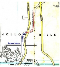
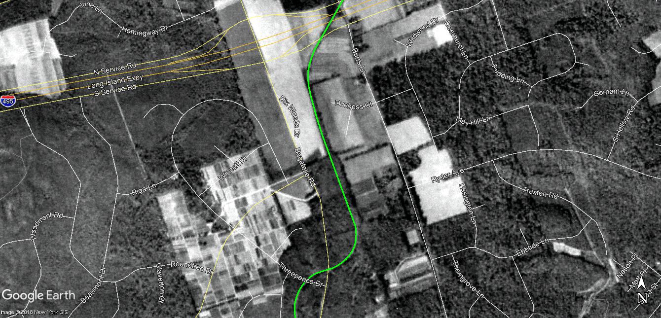
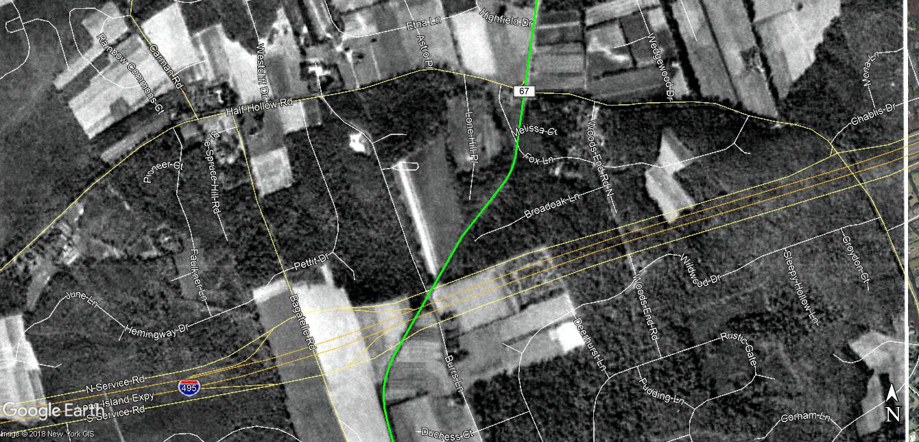
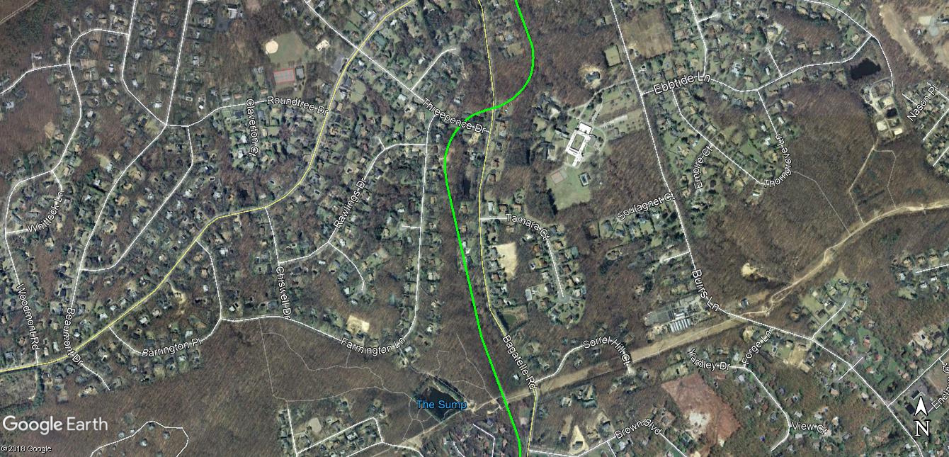
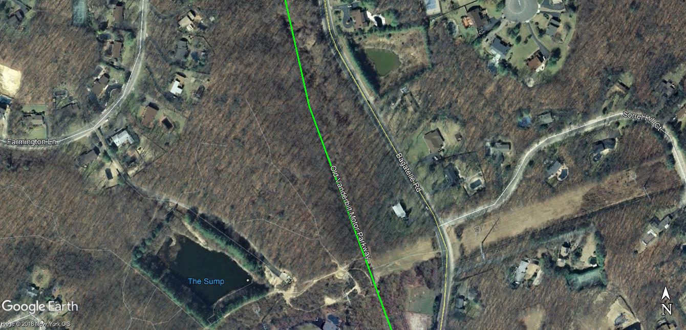
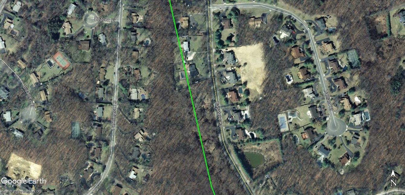
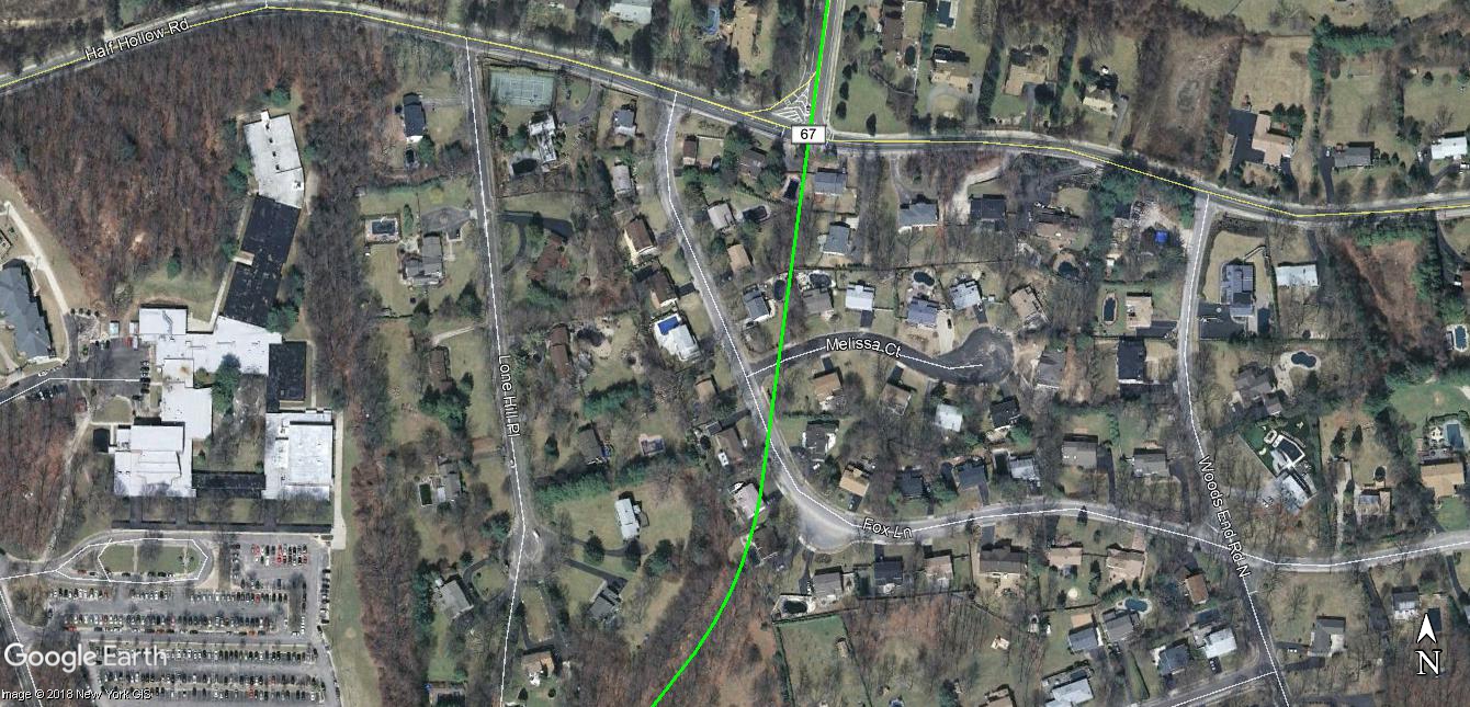
The"hike" area. Courtesy of Art Kleiner.
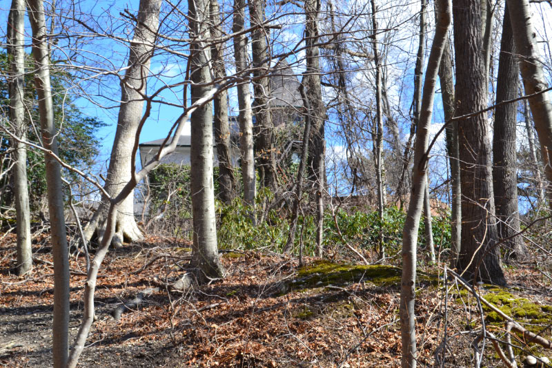
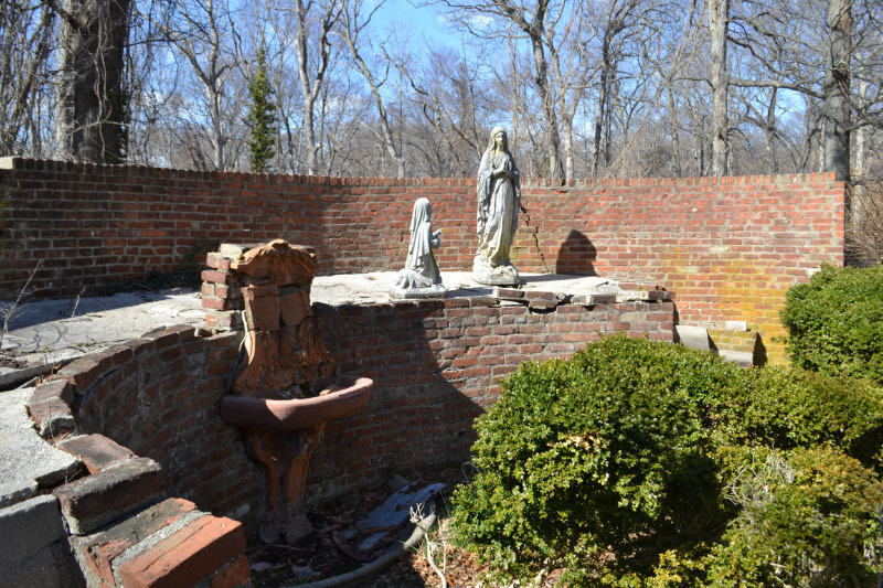
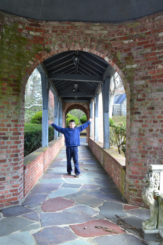
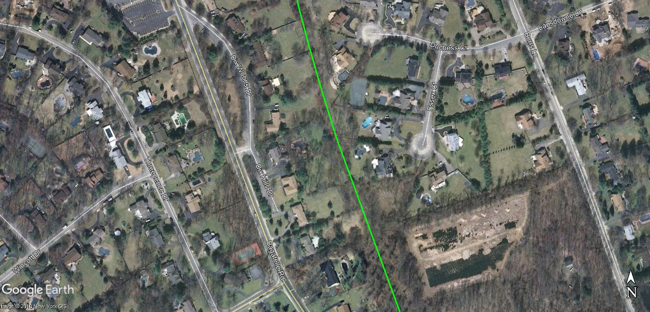
Dave Russo: Where the Motor Parkway makes a brief easterly turn and goes over Bagatelle Road looking east one can see an old mansion...that might have some istory to it!
Approaching the mansion.
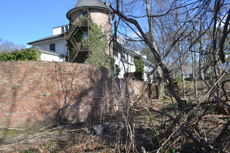
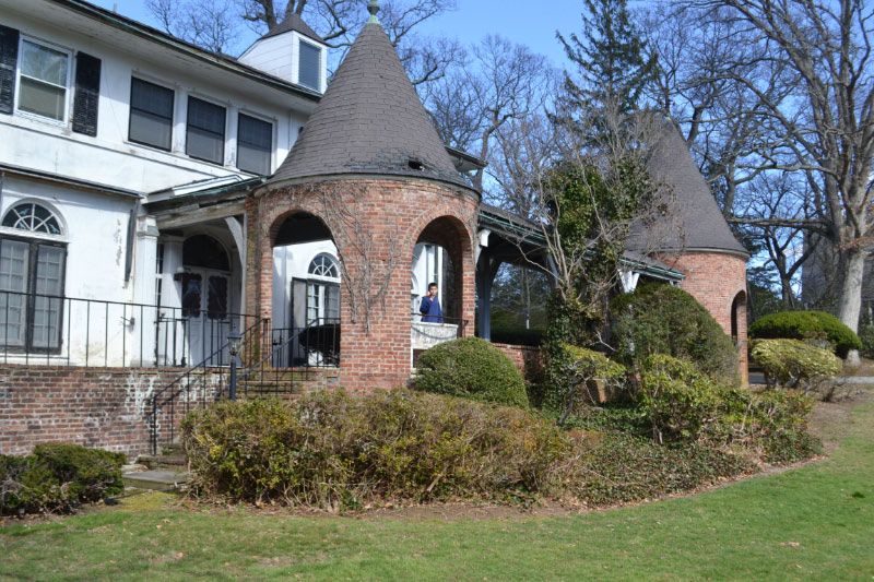
Not a bad house!
As you can see, it's now a religious facility.
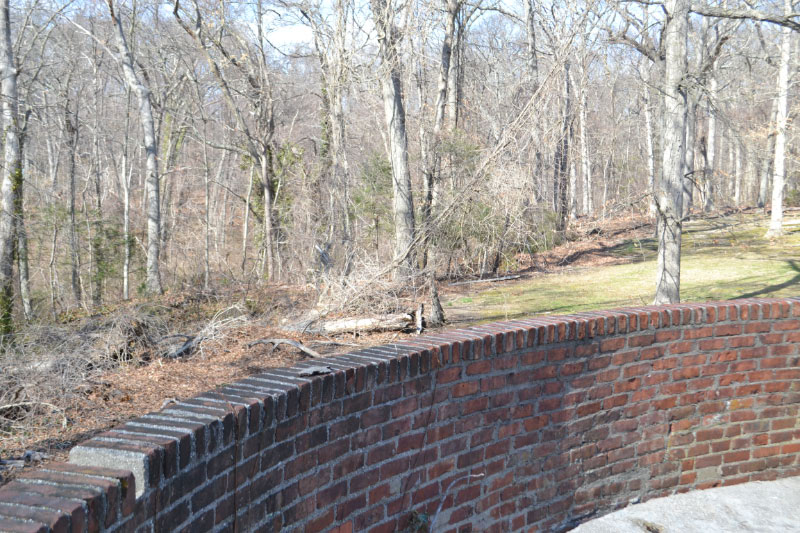
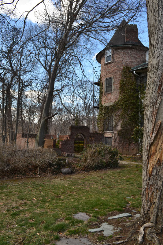
Looking over this wall to the Motor Parkway location - the Right-Of-Way down the hill and then heads to the right side of this photo.
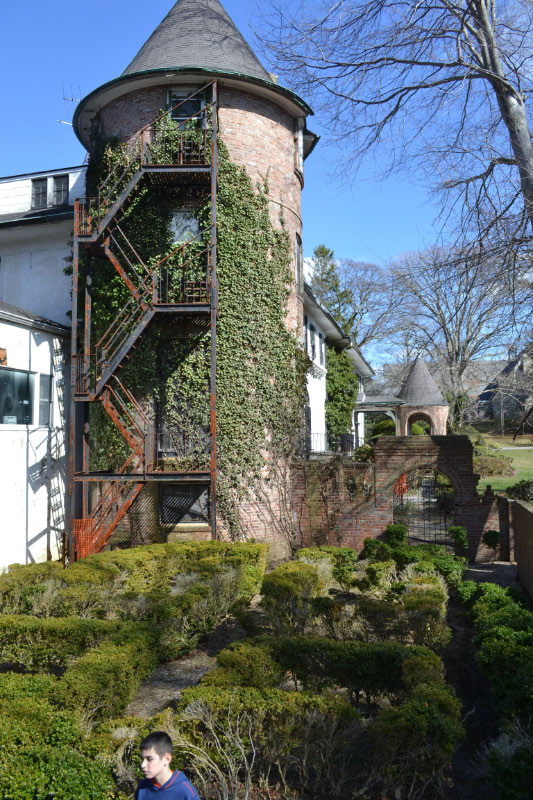
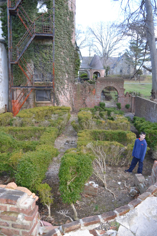
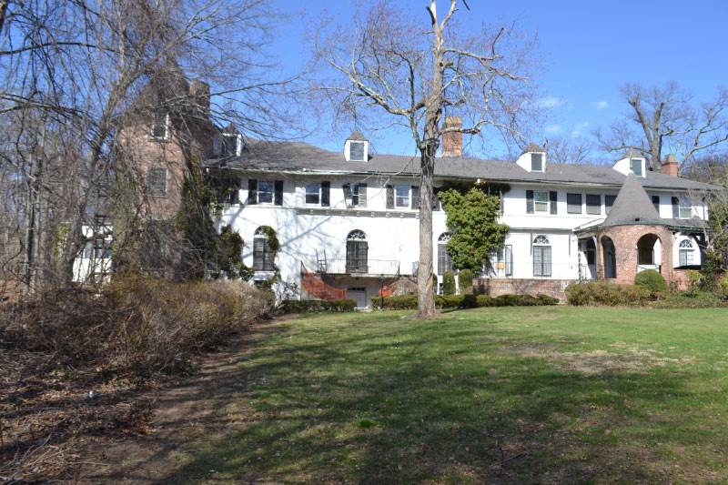
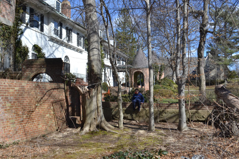
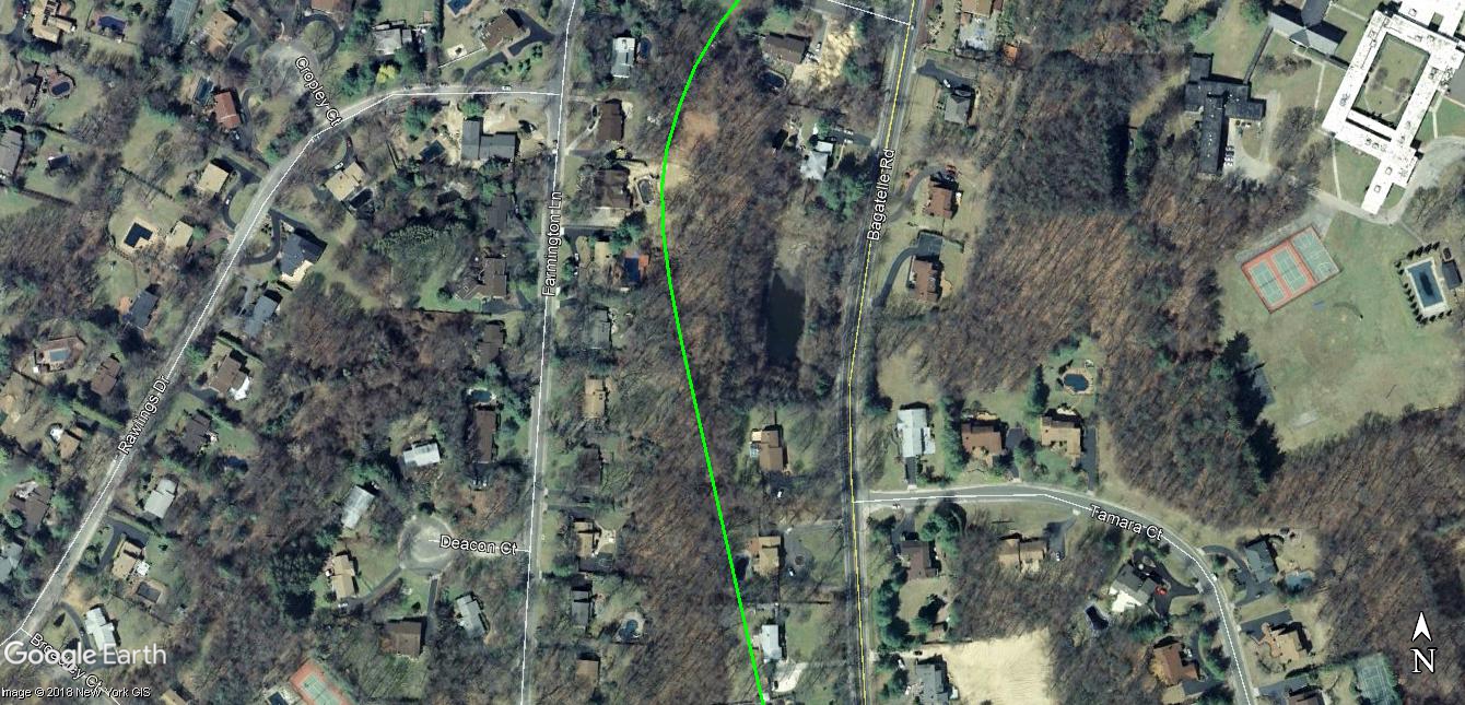
So naturally we walk up the steep hill and explore the mansion (we love Gold Coast history!) which is now part of the Madonna Heights Crisis Center.
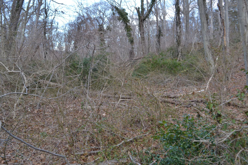
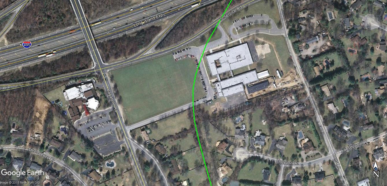
Enough with the distraction! Back to work! From this location to the Long Island ExpresswayE we received most of our injuries. This is pure thickets. It is not fun. There are thorn bushes everywhere and not much to see. Any normal person would look out at what is ahead of you and say....naaaahhhh that's really not worth it! But we are not normal as you can tell and we had to stay the course!
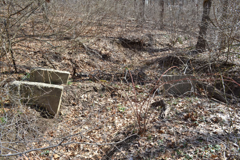
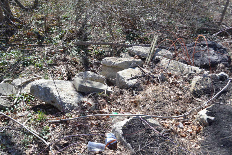
Continuing on...we find this. Any ideas???
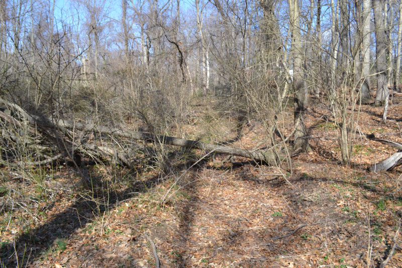
Following the Right-Of-Way.
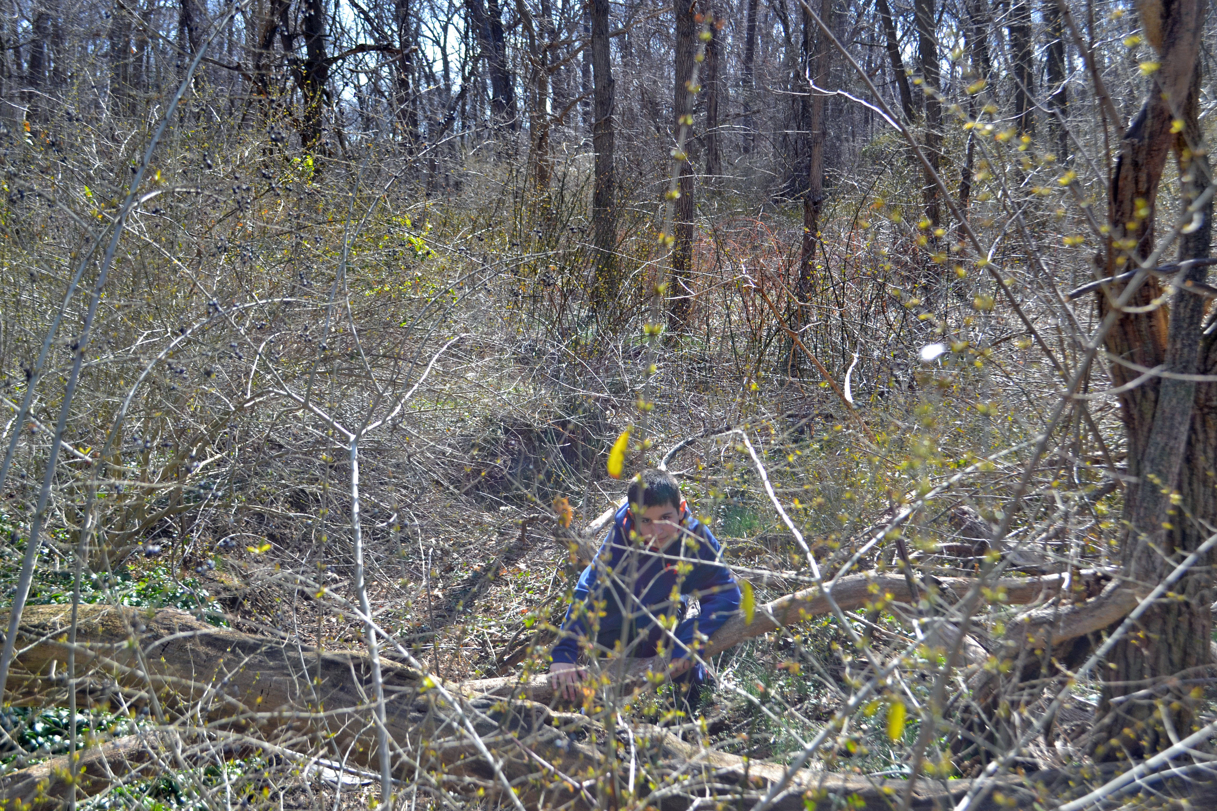
I'm pretty sure Sammy wanted to kill me at this point.
Walking through thorns to see this??? Fragments?? "Really Dad"???
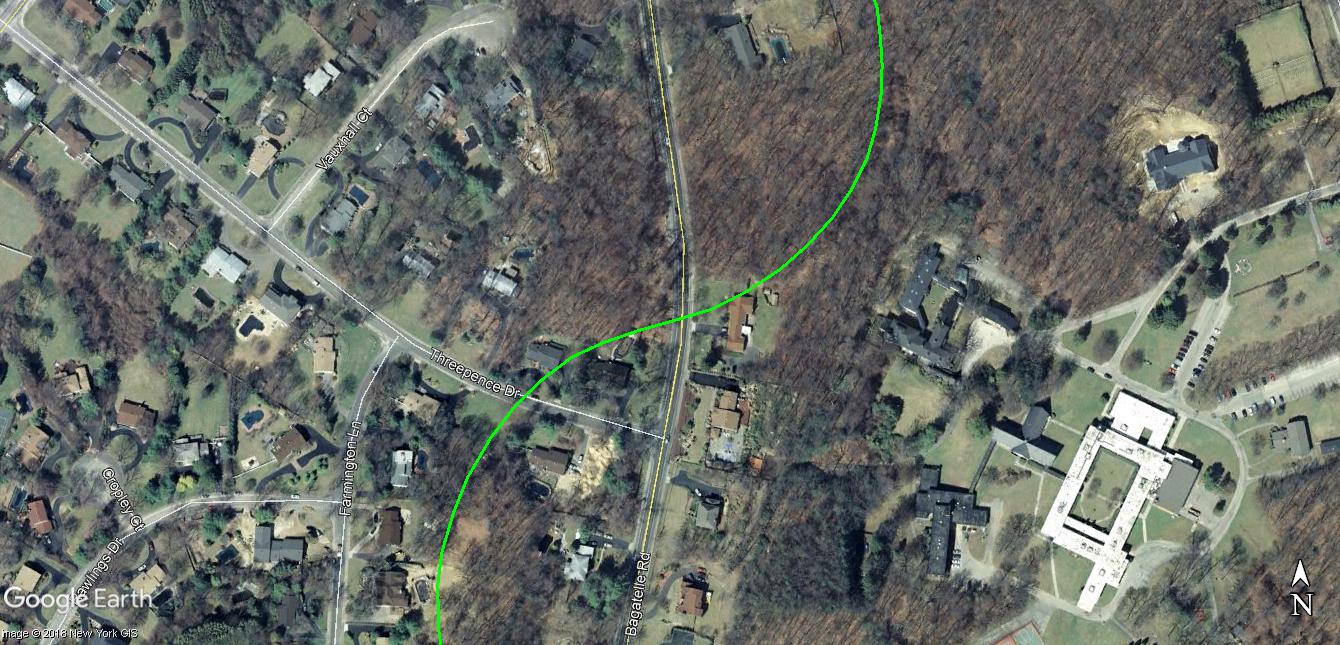
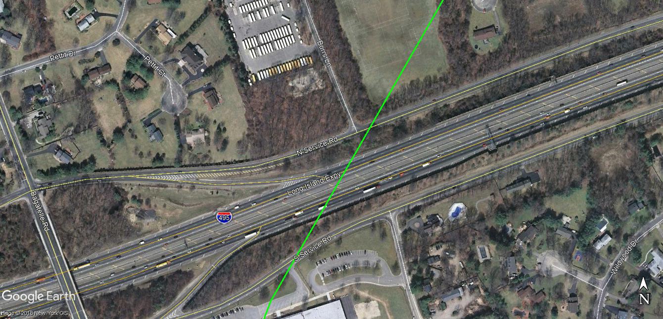
So now we hit a backyard, then another and that leads us to the Chestnut Hill Elementary School that butts up against the LIE service road. The Motor Parkway crosses over the LIE and takes a turn to the east.
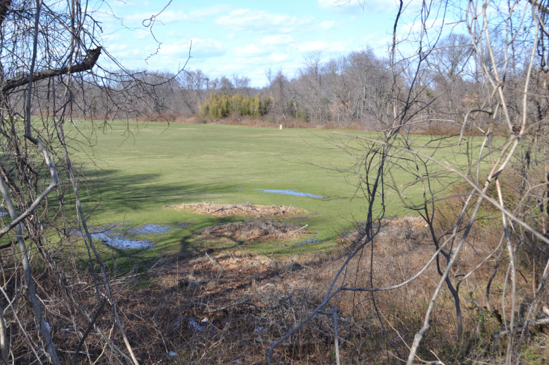
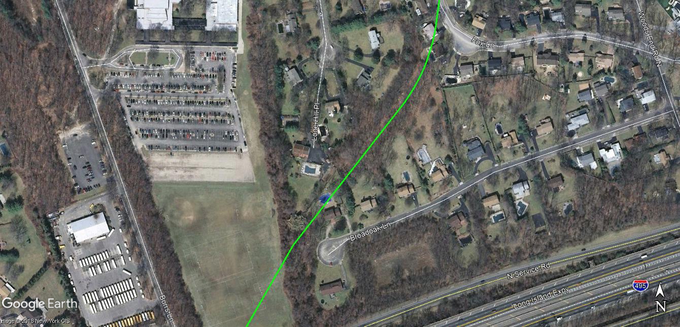
At this exact location which is a field at Five Towns College - which is where our car is parked which is such a blessing to see! After 8 hours of walking and an extremely tough final 3 hours we had no desire to see the remaining pavement in Carmine's backyard right next to us. We are done! That spot is well documented! We don't care right now! LOL
So as previously stated, I wasn't super excited about this Suffolk stretch but it's something that we had to do and cross it off the list. There is much more to see in Queens and especially the Nassau County Motor Parkway ROW where there is a great sense of history as you go through the locations of the former raceway, grand stand, toll lodges, bridges, etc. You get goose bumps at these locations. This was the main portion of travel for all of the Gold Coast "players" of the day.
In this Suffolk County portion I imagine lots of farmland, rum runners doing their thing and the weekend travelers headed out to the Petit Trianon. Not as exciting but very glad we did it. After our poison ivy went away and all of our scratches healed we'll have nothing but great memories of Vanderbilt Day III.
Femenias' Findings (Submitted by Frank Femenias)
1947 Wheatley Heights Overlay
2007 Wheatley Heights Overlay


Zoomed Overlay


Comments
Hi Dave & Sam. The 2 concrete “bases” to the right, they both appear to be the same shape? And the 1 base on the left, I can’t quite tell if it’s of the same style of the other 2? Perhaps there used to be a total of 4. Would you say that these are within the LIMP ROW? These has my mind working, but I honestly would have to been there to assess.
Dave and Sam, thanks for the hike pics. Glad you guys are out there to put boots on the ground and engage the enemy (old wild growth). If I did not live so far away, I would join you. My heart started to race when I saw the pic of the back side of the Chestnut Hill Elementary School area. The pipes or rods or whatever were just the kind of debris that was in the old foundation where the Huntington Lodge was at one time before it was moved to where I lived. Do you think that could have been part of the railing on the parkway to keep people from entering the raceway?
Regarding the mansion—“BAGATELLE” - if you click on the red link Howard provides next to the picture above you will learn some interesting info. Here is what is on Wikimapia:
Rumored to have been owned by WK Vanderbilt as a hide-away for his mistress c. 1910. French Manor on 225 acres. Later owned by Dr. Herman Baruch. Now part of the Madonna Heights Crisis Residence for Young Women.
http://www.bing.com/maps/?v=2&cp=qswyy58wkd5r&lvl=19.274348596...
From NYTimes archives - “In October 1949, Dr. Herman Baruch, the former Ambassador to Portugal (1945) and the Netherlands (1947) and former director of the Texas Gulf Sulphur Company, was married to Anne Maria Baroness MacKay at Bagatelle, Dr. Baruch’s country summer home on Burr’s Lane in Wyandanch. The bride was the daughter of Dirk Rynhard Johan Baron MacKay of The Hague, the Netherlands. After Dr. Baruch died at home in Wyandanch on March 16, 1953, the Bagatelle estate with its many signature azalea, mountain laurel and rhododendron plantings and its numerous specimen trees, was sold to the Catholic Sisters of the Good Shepherd, which developed it into the Madonna Heights School complex. The Bagatelle Nursery Farm in Dix Hills, was sold and sub-divided into expensive large lot upscale homes about the time the Long Island Expressway reached Half Hollow Hills in the late 1960s. Baroness MacKay Baruch frequently attended church in the Our Lady of Miraculous Medal Church (driven in a chauffered limo) during the summer months when the Baruchs vacationed in Wyandanch.”
Brian: Good luck going to assess! From the mansion till the end was brutal. Look at the pic of Sammy. As funny as it is with his face saying it all (he wanted to kill me), look all around him. That was not easy to walk through. Every step was taken with caution and typically involved holding back thorns. Not fun at all!
Regarding the concrete pieces….I agree with you. I believe there were 4. We are either on the LIMP here or right next to it. The only thing that I thought was perhaps this was a drainage system of some kind? Similar to what was recently discussed with the Levittown locations? Maybe this was a water run-off area? It is sort of sloped here and if the LIMP is to the left of this picture that might make sense.
LOL, Dave. Any Drone experts here? A rocket pack would come in real handy, too. When you say it was brutal, that can be taken to the bank. The property just north of Madonna Heights is “Holmes Farm” ( there’s a cell tower within this property, too. ) Maybe there’s access to the ROW via the Farm? Have to check this out when the “seasons right”. The concrete sections being the remains of a culvert would be neat.
Dave, speaking of drainage systems, about 16 years ago I explored the path of the LIMP east and west of Bagatelle. At that time I did notice drainage pipes emanating from the sides of the ridges carrying the LIMP, one east of Bagatelle just north of the power lines and one on the east of Bagatelle across from Threepence. I would imagine the brambles in the area may make them hard to see. There is a photo of one of them on what is left of Sam Berliner’s old LIMP website.
‘Way to go, Dave and Sam! I so enjoy most of this, except the all-too-vivid memory of all the thorns, prickers, brambles, and such I pushed through - NO! Almost as vivid as the scratches and pin-pricks which resulted. I don’t recall seeing those concrete blocky thingies but assumed they are remnants of an entryway. O, THAT mansion - thanks, Dave; I’m so used to it being a facility that I clean forgot about Bagatelle! As to the RoW across today’s LIE, Frank F., you of the fab. overlays, HELP! I always thought the tree lines shown now on my satellite view <http://sbiii.com/limpsuff/lie-xing.jpg>, just SE of my highlights, were the RoW. Could I prevail on you to take us from Butterfly Park up to Half Hollow Hills Road in your inimitable, precise manner, please? This is why I always wanted the MP Panel and now the Pres. Soc. to post a full strip map of the entire RoW. Sam, III
Sam III - Sending zooms of the RoW in Wheatley Heights
Howard Kroplick
Frank Femenias added 1947 and 2007 overlays
Excellent work with the maps as usual, Frank. The ROW is smack between Duchess/Essex Courts & Dix Woods Dr. Too bad there’s no remnants.