Sam & Dave’s “Excellent Motor Parkway Hike” VIII: Wheatley Heights & Dix Hills (Half Hollows Hills)

In the eighth post of the "Excellent Motor Parkway Hike" series, Dave Russo and his then 11-year old son Sammy explored the Motor Parkway around the location of Conklin Road (Wheatley Heights) and Bagatelle Road (Dix Hills/Half Hollow Hills).
On Sunday, April 2, 2017, Dave Russo and his 12-year old son Sammy embarked on their third annual "Vanderbilt Day". Instead of duplicating the Queens to Melville route, they decided to hike the "unknown" sections of the Motor Parkway from Bethpage to Dix Hills.
Dave Russo April 2, 2017: "The original plan was to start at the Maxess Road Bridge and work our way east but we feared that would not be long enough so we decided on a new starting point.....The starting point was Stewart Avenue in Bethpage and we made our way to Dix Hills. This time we left the bikes at home and walked 13 miles. And not a normal 13 miles, there were large portions of the exploration through woods, thorns and thickets. We both came out with many scratches and bites, but at the end of the day we completed our mission and can add another chapter to the memory book!"
Enjoy,
Howard Kroplick
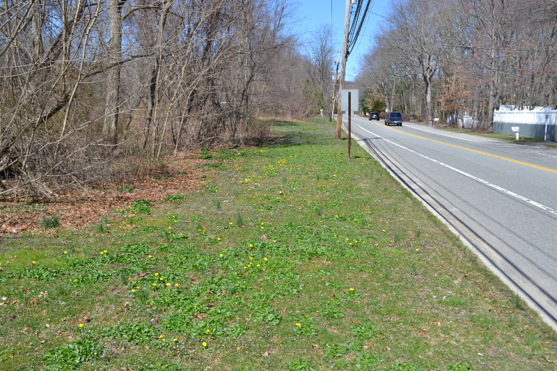
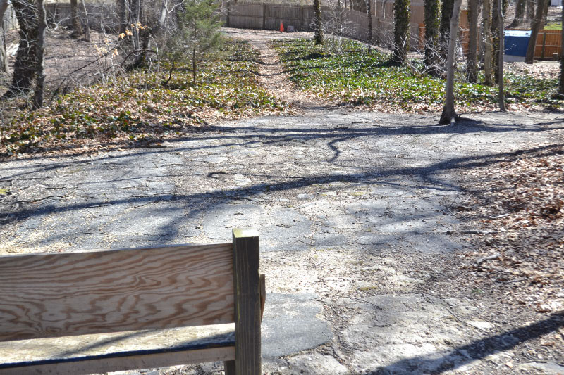
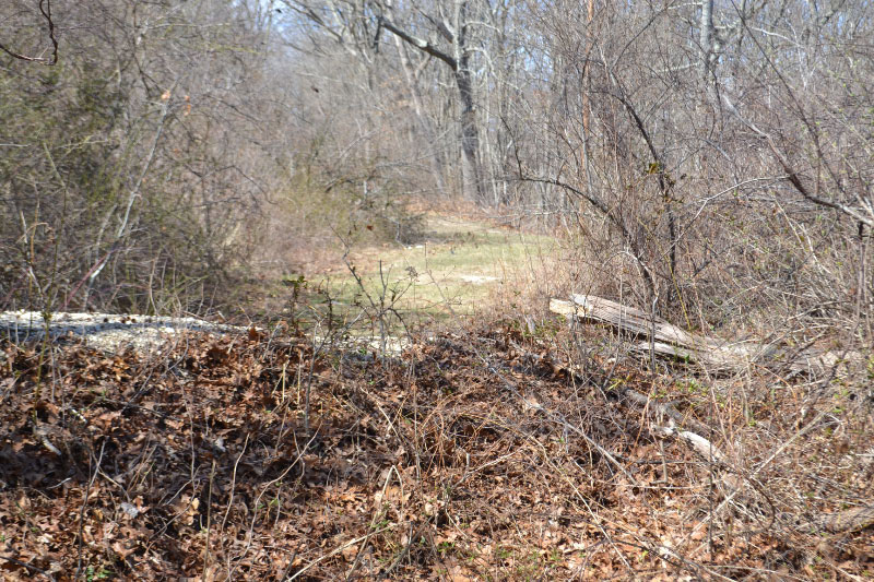
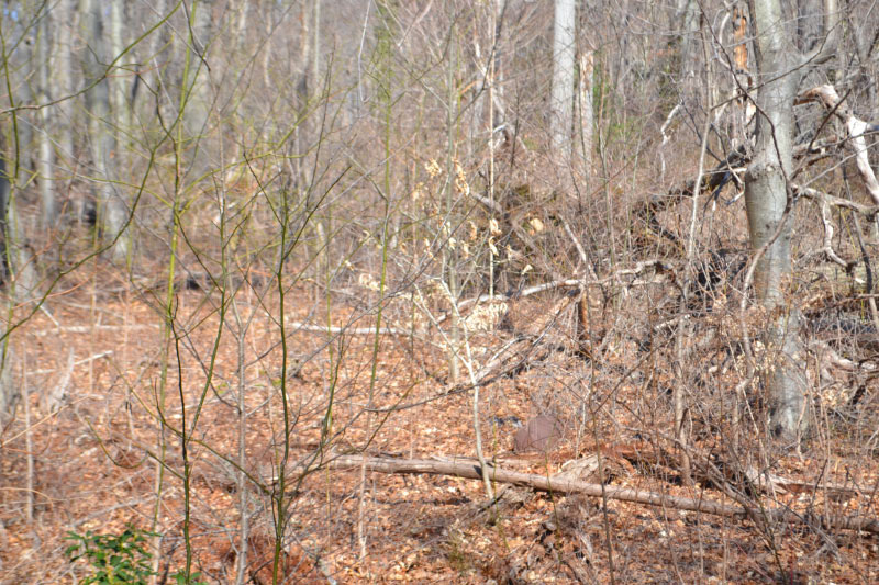
Gives you an idea of where we are right now...walking north up Conklin - on the west side of the road is the LIMP.
.
So now walking north up Conklin Ave there is really nothing so see, except there is a lot of road fragments to our left (west) where the LIMP ROW continues through the houses along Conklin.
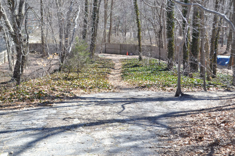
More fragments with Conklin Ave in the distance. Conklin Ave then turns into Bagatelle Road and as you approach West Farm Drive there is a power station to your left side, the LIMP makes a 45 degree turn behind this power station..
We have arrived at the power station, which you can see on the right side here, we are peeking over the power station fence - the LIMP pavement is visible on the left side. This is on the west side of Bagatelle Road, just north of West Farm Drive.
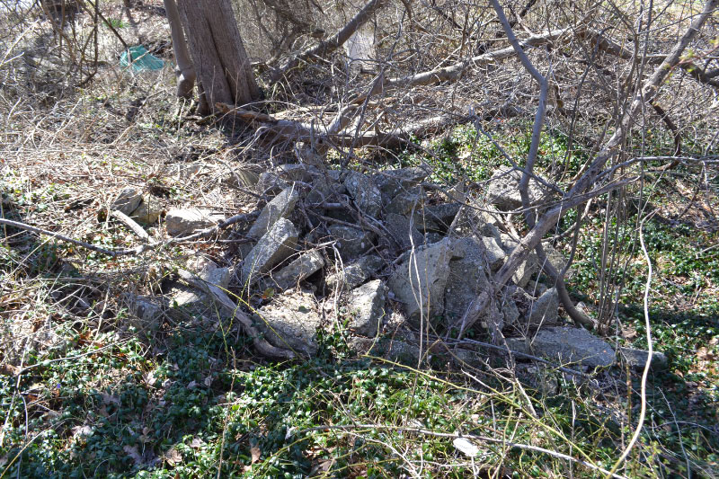
Nice section of LIMP pavement.
Is this exact same stretch of LIMP from a different viewpoint. This one is looking from north to south.
Now if you turn and head north again this is absolutely the ROW, we know this because....
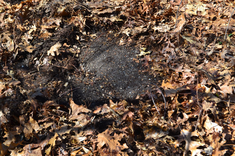
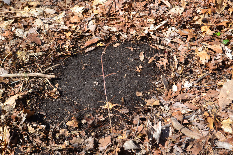
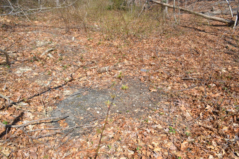
At any point if you drop down and dig a little hole the LIMP pavement is right under you. If we had a massive cleaning day this would be a great location as the pavement is all there.
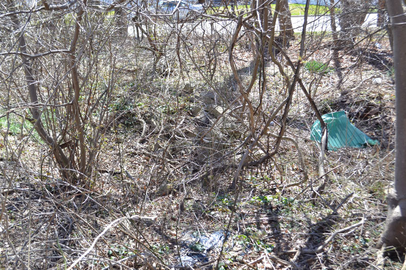
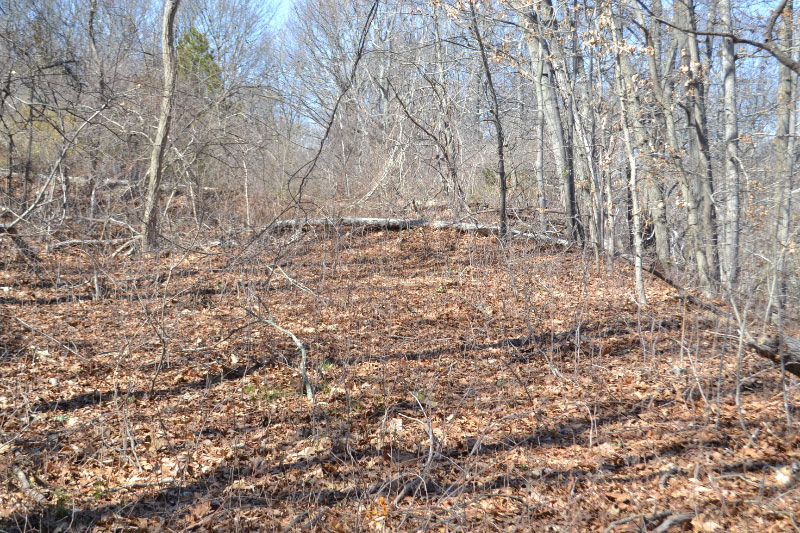
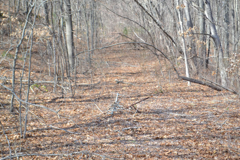
So we continue north and you are now in what is called Butterfly Park, again the LIMP is right below us as we dig little holes and confirm it along the way. The ROW is pretty visible here and easy to follow.
Following the road
Walking north on the LIMP through "Butterfly Park". Every few hundred feet we drop down and dig and confirm the LIMP is right below us. The pavement is all there right under us.
Proof we are on the LIMP - continue on....
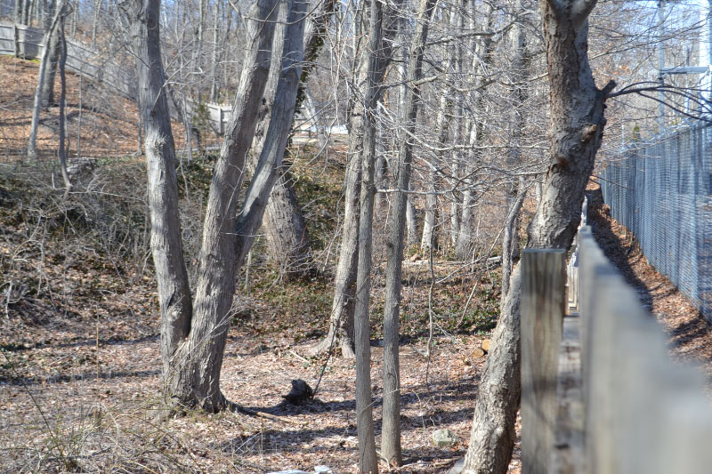
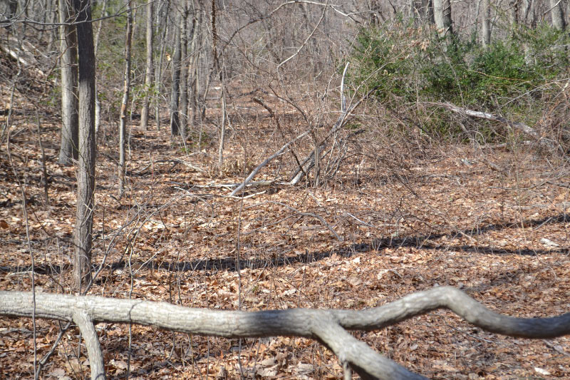
Not much to see as we approach Threepence Drive.
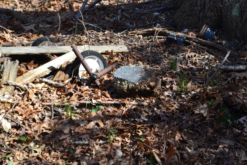
Fragment
Where the LIMP makes a brief easterly turn and goes over Bagatelle Road and then turns back north but just east of Bagatelle we find this exposed piece of LIMP. Always good to know we are on the path!
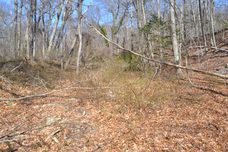
Where the LIMP makes a brief easterly turn and goes over Bagatelle Road and then turns back north but just east of Bagatelle we find this exposed piece of LIMP. Always good to know we are on the path!
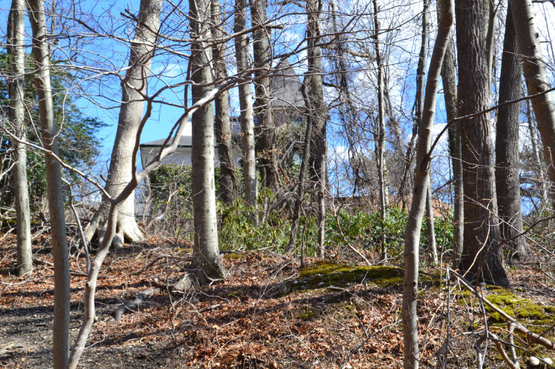
Now standing at this exact location and looking east one can see an old mansion...that might have some Vanderbilt history to it!


Comments
As thorough as I expected, great footage!
If you guys do a cleanup, I’d recommend renting a couple of power brushes(like this - https://www.gravely.com/en-us/walk-behind-mowers/power-brush). These work great for cleaning off layers of dirt on the pavement, and will not damage the road underneath, especially around broken/uneven areas. Do it on a day after a good rain though, so as not to kick up a ton of dust! You might get a bit muddy, but at least there won’t be anything in the air. These will also be easier to maneuver in the woods where the cleanup will be going on. Also, count me in as a volunteer!
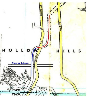
As I had noted, I vas dere, Cholly, in 2000 <http://sbiii.com/limpkwy7.html#halfholl>, in 2002 <http://sbiii.com/limpsuff.html#halfholl>, and lastly in the Winter of 2002/03 <http://sbiii.com/limpkwya.html#wintale>. It would be interesting to know just who owns the RoW along Bagatelle. I spotted the RoW there *MARKED* on Google Maps <http://sbiii.com/limp-aer/buttrfly.jpg>; never noticed that before. Also, Dave, can you or Frank or Art pin down exactly where you were when you took the “mansion” pic, please? Art’s map doesn’t seem to jibe with the satellite view (Wildwood just runs N-S). Sam, III
Eric—-this is the section you were talking about in the last post.
SB III—-We will get into more detail on the “mansion” on the next post but I’m amazed you’ve never been there or have multiple pages to send me to in it’s regard!! Research the name “BAGATELLE” and you will find all you need to know. (I’m ready for the backlash SB).